
MyTopo
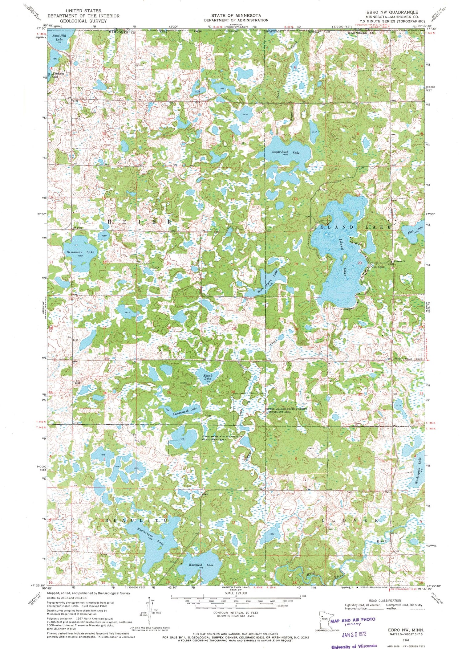
Classic USGS Ebro NW Minnesota 7.5'x7.5' Topo Map
Couldn't load pickup availability
Historical USGS topographic quad map of Ebro NW in the state of Minnesota. Map scale may vary for some years, but is generally around 1:24,000. Print size is approximately 24" x 27"
This quadrangle is in the following counties: Mahnomen, Polk.
The map contains contour lines, roads, rivers, towns, and lakes. Printed on high-quality waterproof paper with UV fade-resistant inks, and shipped rolled.
Contains the following named places: Annawaush Lake, Budde Meadow State Wildlife Managment Area, Flat Lake, Island Lake, Island Lake Creek, Matt Ayers Lake, Saint Agnes Catholic Cemetery, Saint Agnes Church, Simonson Lake, Skunk Lake, Snetsinger Lake, Sugar Bush Lake, Township of Heier, Wakefield Lake, Washington Lake


