MyTopo
Classic USGS Echo Alabama 7.5'x7.5' Topo Map
Couldn't load pickup availability
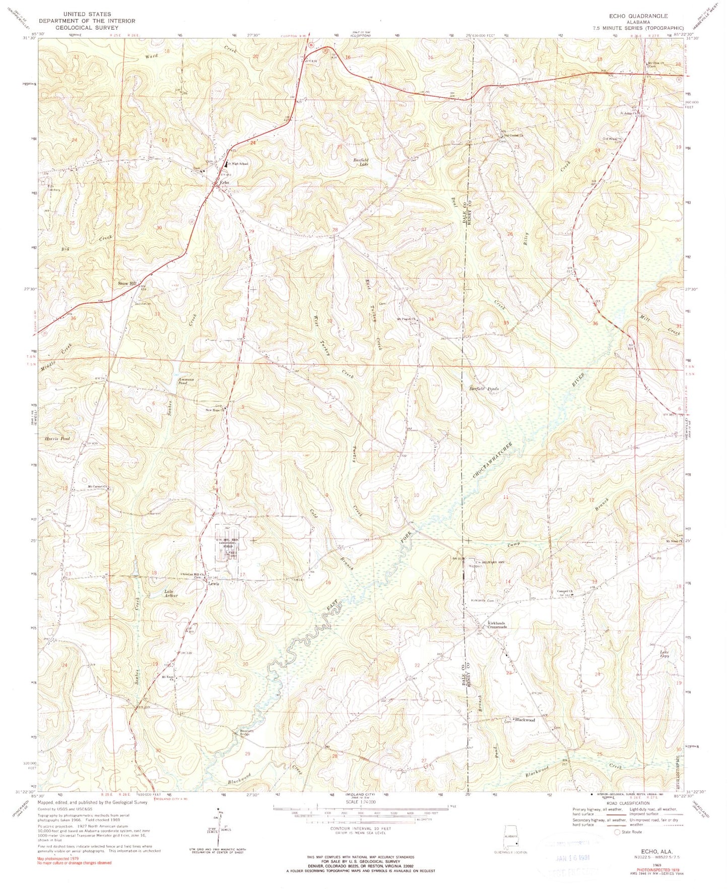
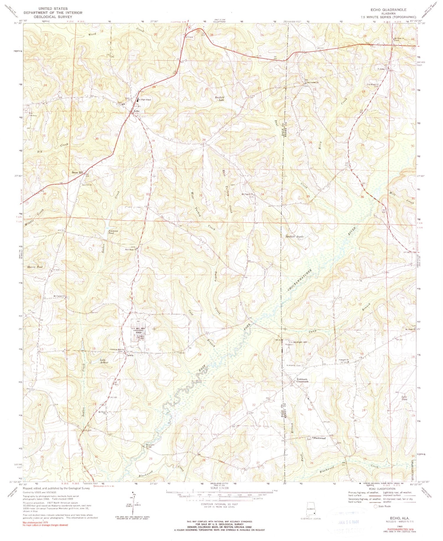
Historical USGS topographic quad map of Echo in the state of Alabama. Map scale may vary for some years, but is generally around 1:24,000. Print size is approximately 24" x 27"
This quadrangle is in the following counties: Dale, Henry.
The map contains contour lines, roads, rivers, towns, and lakes. Printed on high-quality waterproof paper with UV fade-resistant inks, and shipped rolled.
Contains the following named places: A N Ingram Dam, Ammons Pond, Barfield Lake, Barfield Ponds, Bells Branch, Bethlehem Church, Beveretts Bridge, Blackwood, Blackwood Church, Blackwood Creek, Blackwood Methodist Cemetery, Camp Branch, Christian Hill Cemetery, Christian Hill Church, Cold Branch, Concord Baptist Church, Concord School, Deal Creek, East Turkey Creek, Echo, Echo Cemetery, Echo Division, Echo Junior High School, Echo United Methodist Church, Echo Volunteer Fire Department, Harris Pond, Ingram Lake, Jerry Mcdaniel Lake, Jerry Mcdaniel Lake Dam, Kirklands Cemetery, Kirklands Crossroads, Lake Arthur, Lake Espy, Lewis, Lewis School, Little Blackwood Creek, Malchom Ammons Dam, Melvin Creek, Mill Creek, Mount Carmel United Methodist Church, Mount Enon Baptist Church, Mount Enon Cemetery, Mount Olive Church, Mount Pisgah Baptist Church, Mount Pisgah Cemetery, Mount Sinai Church, New Hope Church, Old Center Cemetery, Old Center United Methodist Church, Old Wiggins Cemetery, Omega Assembly of God Church, Omega Cemetery, Otis Barfield Dam, Pisgah School, Pond Branch, Riley Creek, Saint Johns Cemetery, Saint Johns Church, Seabes Creek, Snow Hill, Snow Hill School, Turkey Creek, West Turkey Creek


