MyTopo
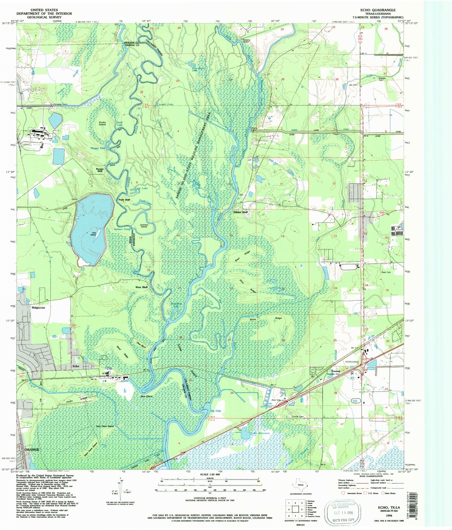
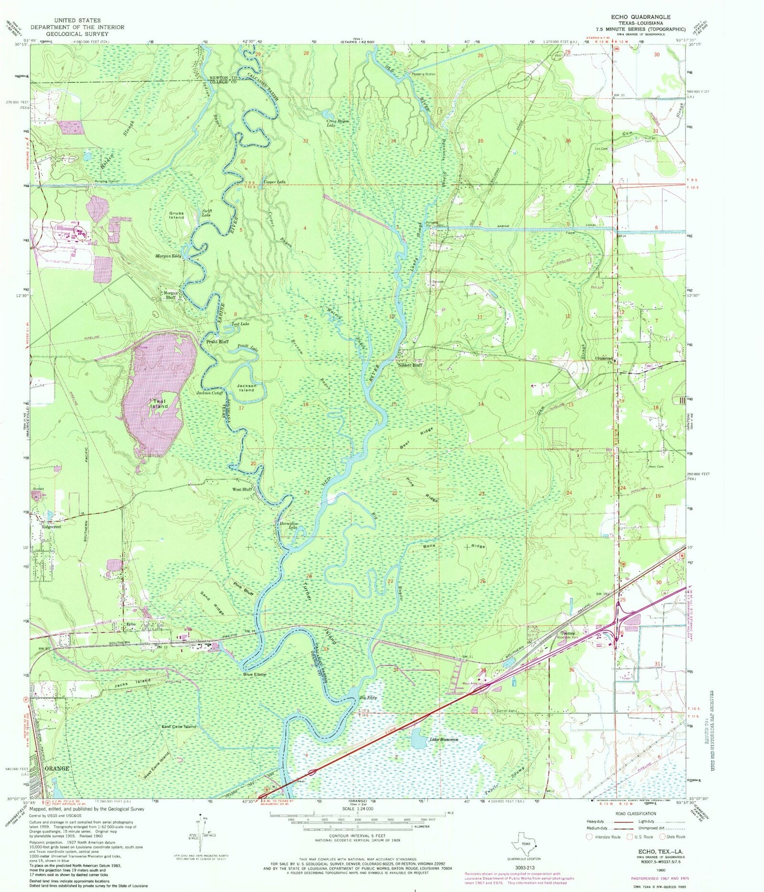
Classic USGS Echo Texas 7.5'x7.5' Topo Map
Couldn't load pickup availability
Historical USGS topographic quad map of Echo in the states of Texas, Louisiana. Typical map scale is 1:24,000, but may vary for certain years, if available. Print size: 24" x 27"
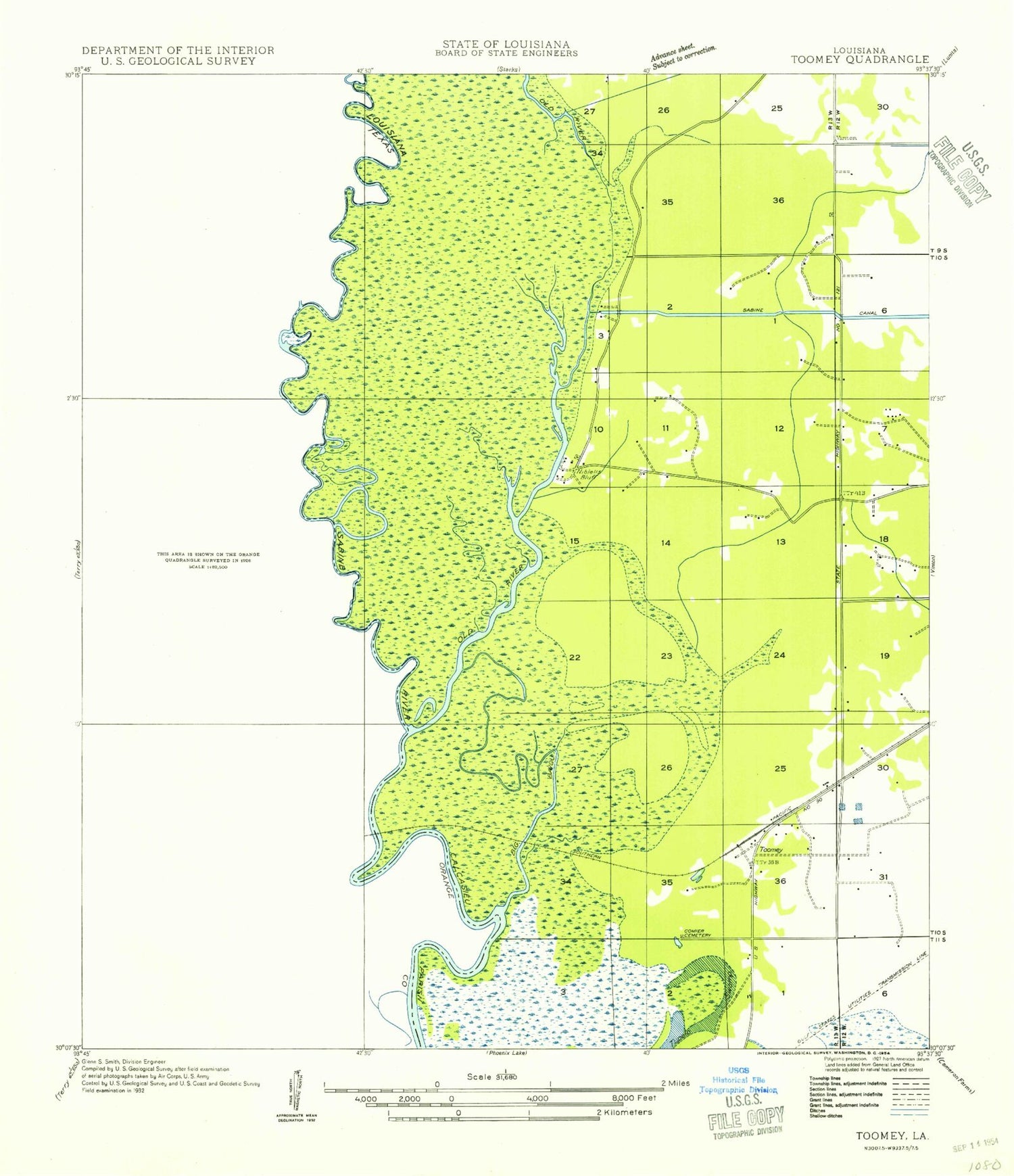
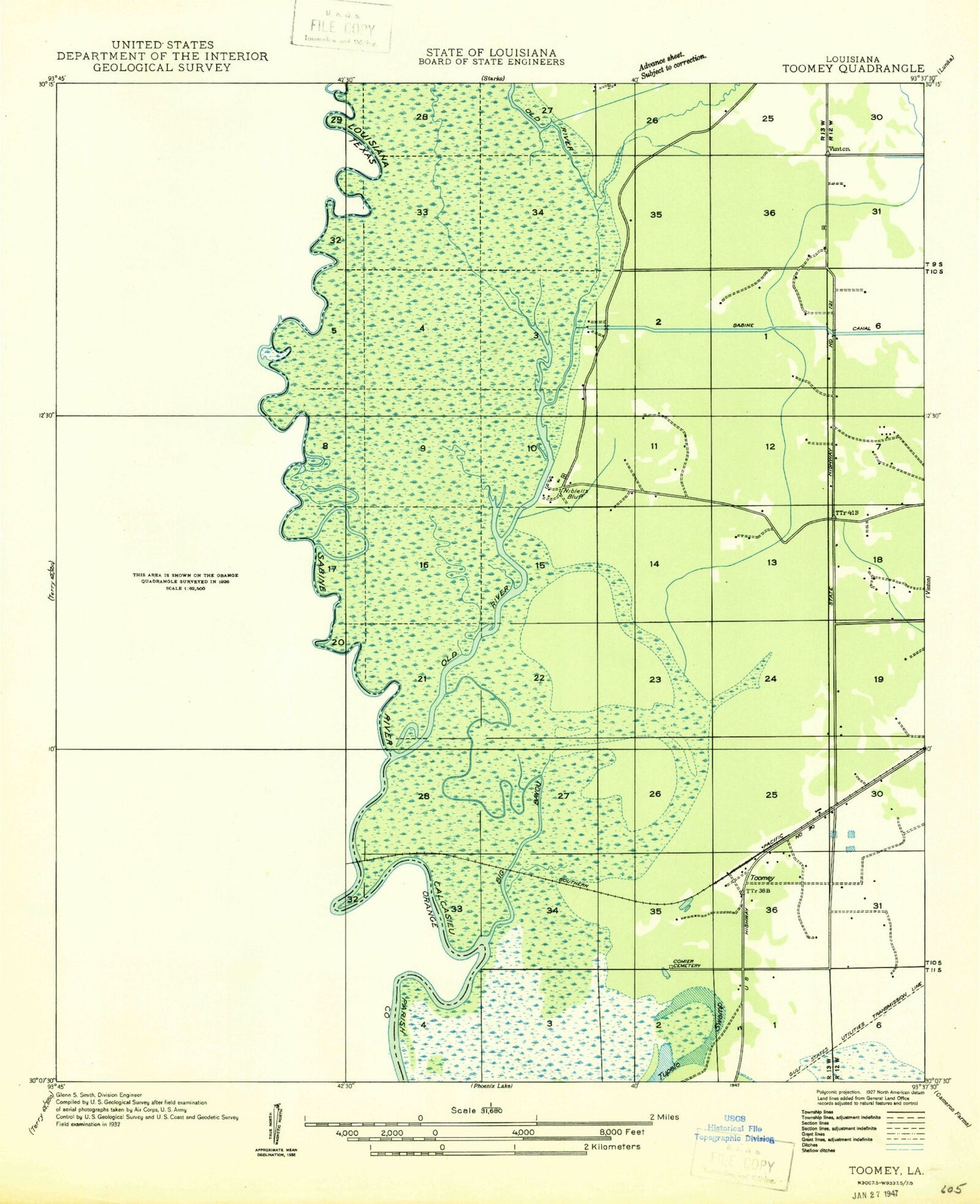
This quadrangle is in the following counties: Calcasieu, Newton, Orange.
The map contains contour lines, roads, rivers, towns, and lakes. Printed on high-quality waterproof paper with UV fade-resistant inks, and shipped rolled.
Contains the following named places: Blue Elbow, East Cane Island, Echo, Grubs Island, Holden Slough, Indian Bayou, Jacks Island, Morgan Bluff, Morgan Eddy, Pine Bluff, Ridgecrest, Sand Ridge, Swift Lake, Teal Island, West Bluff, West Cane Island, Little Cypress Bayou, Owens-Illinois Lake Dam, Owens-Illinois Reservoir, Canaan Primitive Baptist Church, Beef Ridge, Big Bayou, Big Eddy, Bone Ridge, Brenam Bayou, Comier Cemetery, Cooper Bayou, Cross Bayou, Crossroad Church, Dynamite Slough, Granger Cemetery, Gum Slough, Jackson Cutoff, Jackson Island, Lee Cemetery, Lundy Slough, Old River, Pine Ridge, Pruitt Bluff, Reed Cemetery, Tupelo Swamp, Turner Island, Watson Bayou, Sabine Island Wildlife Game Management Area, Niblett Bluff, Cooper Lake, Horseshoe Lake, Lost Lake, Pruitt Lake, Toomey, Calcasieu Parish Ward 7 Fire Protection District, City of Refuge Church, Nibletts Bluff Bible Church, Blue Elbow, East Cane Island, Echo, Grubs Island, Holden Slough, Indian Bayou, Jacks Island, Morgan Bluff, Morgan Eddy, Pine Bluff, Ridgecrest, Sand Ridge, Swift Lake, Teal Island, West Bluff, West Cane Island, Little Cypress Bayou, Owens-Illinois Lake Dam, Owens-Illinois Reservoir, Canaan Primitive Baptist Church, Beef Ridge, Big Bayou, Big Eddy, Bone Ridge, Brenam Bayou, Comier Cemetery, Cooper Bayou, Cross Bayou, Crossroad Church, Dynamite Slough, Granger Cemetery, Gum Slough, Jackson Cutoff, Jackson Island, Lee Cemetery, Lundy Slough, Old River, Pine Ridge, Pruitt Bluff, Reed Cemetery, Tupelo Swamp, Turner Island, Watson Bayou, Sabine Island Wildlife Game Management Area, Niblett Bluff, Cooper Lake, Horseshoe Lake, Lost Lake, Pruitt Lake, Toomey, Calcasieu Parish Ward 7 Fire Protection District, City of Refuge Church, Nibletts Bluff Bible Church, Blue Elbow, East Cane Island, Echo, Grubs Island, Holden Slough, Indian Bayou, Jacks Island, Morgan Bluff, Morgan Eddy, Pine Bluff, Ridgecrest, Sand Ridge, Swift Lake, Teal Island, West Bluff, West Cane Island, Little Cypress Bayou, Owens-Illinois Lake Dam, Owens-Illinois Reservoir, Canaan Primitive Baptist Church, Beef Ridge, Big Bayou, Big Eddy, Bone Ridge, Brenam Bayou, Comier Cemetery, Cooper Bayou, Cross Bayou, Crossroad Church, Dynamite Slough, Granger Cemetery, Gum Slough, Jackson Cutoff, Jackson Island, Lee Cemetery, Lundy Slough, Old River, Pine Ridge, Pruitt Bluff, Reed Cemetery, Tupelo Swamp, Turner Island, Watson Bayou, Sabine Island Wildlife Game Management Area, Niblett Bluff, Cooper Lake, Horseshoe Lake, Lost Lake, Pruitt Lake, Toomey, Calcasieu Parish Ward 7 Fire Protection District, City of Refuge Church, Nibletts Bluff Bible Church