MyTopo
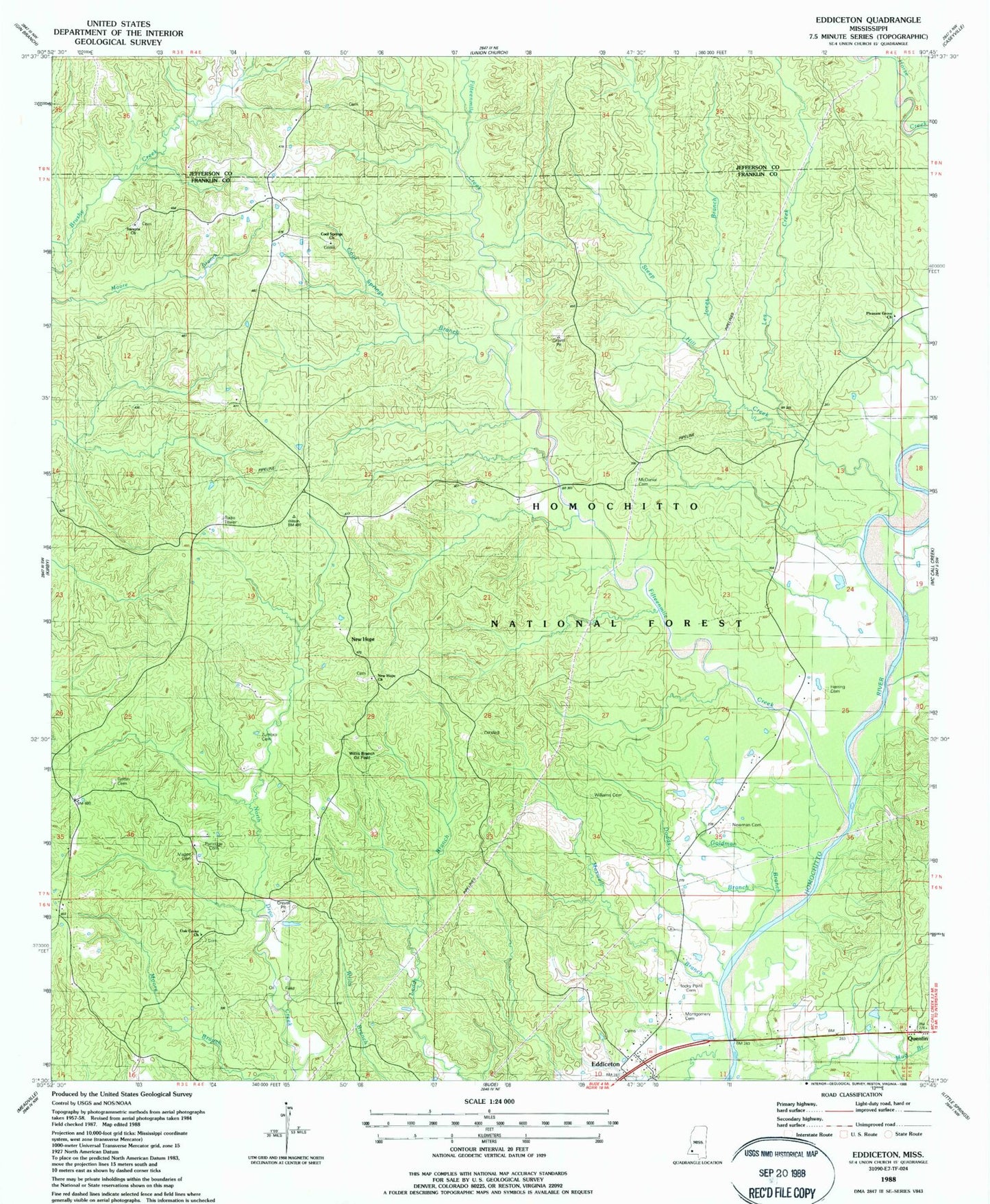
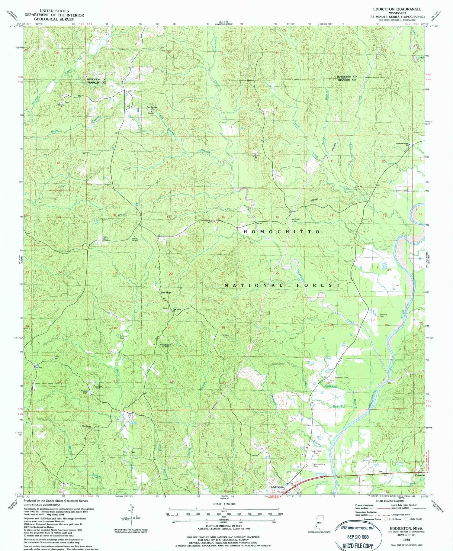
Classic USGS Eddiceton Mississippi 7.5'x7.5' Topo Map
Couldn't load pickup availability
Historical USGS topographic quad map of Eddiceton in the state of Mississippi. Map scale may vary for some years, but is generally around 1:24,000. Print size is approximately 24" x 27"
This quadrangle is in the following counties: Franklin, Jefferson.
The map contains contour lines, roads, rivers, towns, and lakes. Printed on high-quality waterproof paper with UV fade-resistant inks, and shipped rolled.
Contains the following named places: Bonus Oil Field, Cool Springs Branch, Cool Springs Cemetery, Cool Springs Church, Dodds Branch, Eddiceton, Eddiceton Oil Field, Eddicetown Baptist Church, Eddicetown Cemetery, Fifteenmile Creek, Goldman Branch, Griffin Cemetery, Herring Cemetery, Johns Creek, Jones Branch, Lea Creek, Magee Cemetery, Maxwell Branch, McDanial Cemetery, Montgomery Cemetery, New Hope, New Hope Baptist Church, New Hope Cemetery, Newman Cemetery, Oak Grove Cemetery, Oak Grove Church, Partridge Cemetery, Pleasant Grove Church, Rocky Point Cemetery, Sarepta Baptist Church, Sarepta Cemetery, Steep Hill Creek, Veto, Wheats, Williams Cemetery, Willis Branch Oil Field, Zumbro Cemetery


