MyTopo
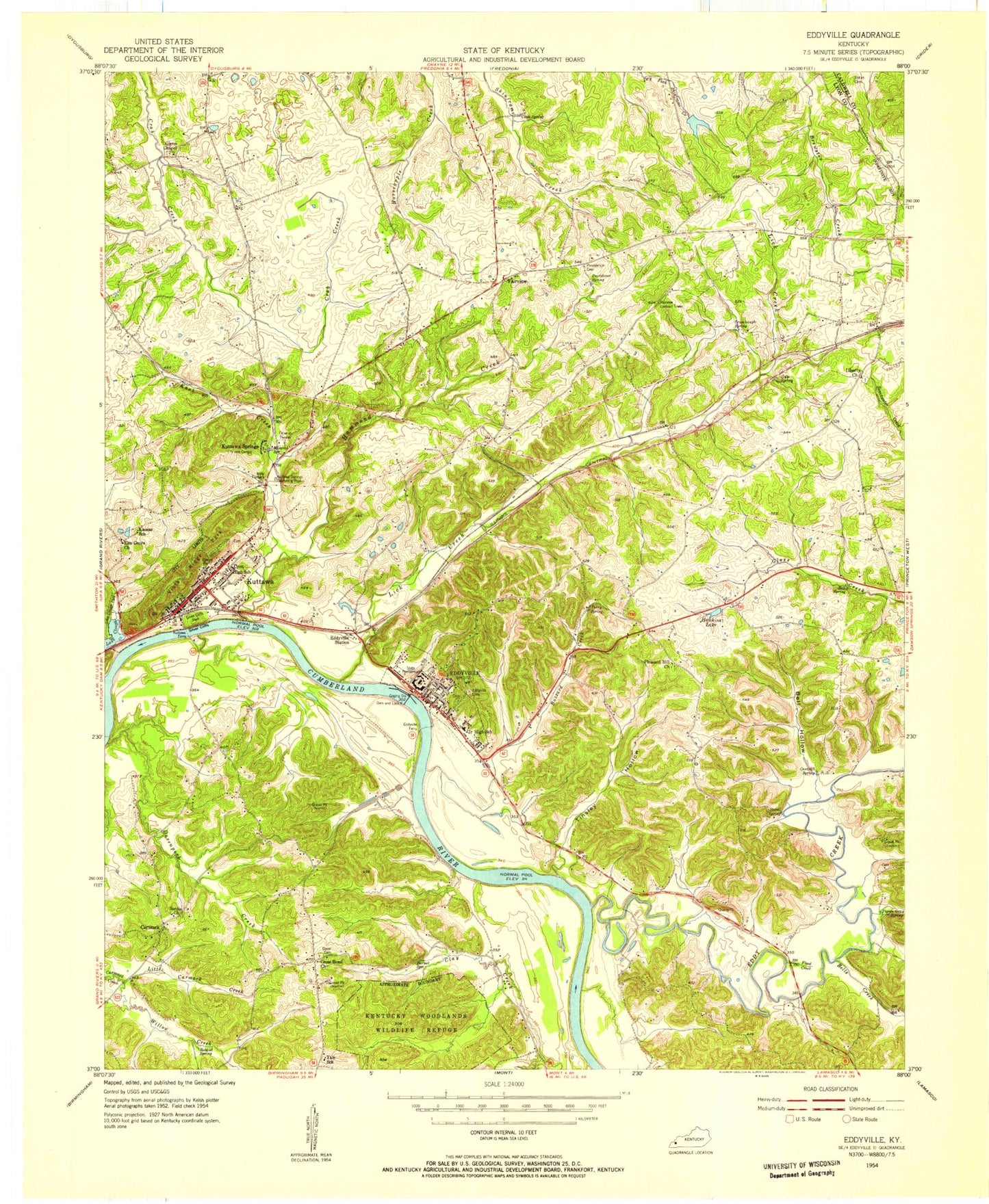
Classic USGS Eddyville Kentucky 7.5'x7.5' Topo Map
Couldn't load pickup availability
Historical USGS topographic quad map of Eddyville in the state of Kentucky. Map scale may vary for some years, but is generally around 1:24,000. Print size is approximately 24" x 27"
This quadrangle is in the following counties: Caldwell, Lyon.
The map contains contour lines, roads, rivers, towns, and lakes. Printed on high-quality waterproof paper with UV fade-resistant inks, and shipped rolled.
Contains the following named places: Barnet Spring, Bell Hollow, Bell Spring, Bells Creek, Bonner Cemetery, Buena Vista Estates, Buzzard Creek, Cantrell Spring, Carmack, Cash Spring, City of Eddyville, City of Kuttawa, Clay Bay, Crab Creek African American Cemetery, Cross Road, Crumbaugh Spring, Davenport Bay, Dickerson Cemetery, Doctor George M Huggans Historical Marker, Dycus Cemetery, Eddy Bay, Eddy Creek, Eddy Creek Recreational Area, Eddyville, Eddyville Division, Eddyville Fire Department, Eddyville Furnace Historical Marker, Eddyville Police Department, Eddyville Post Office, Eden Bay, Elm Grove Church, Fairview, Glenns Chapel Methodist Church, Greenacres, Gum Spring, Hammond Creek, Hawkins Lake, Hildreth Cemetery Number 1, Hildreth Cemetery Number 2, Holiday Hills Camp, Indian Hills, Kentucky State Penitentiary, Knob Creek, Lady Cemetery, Lake Clough, Last Skirmish of the Civil War Historical Marker, Liberty Church, Lick Creek, Little Carmack Creek, Lyon County, Lyon County Emergency Medical Service, Lyon County Historical Marker, Lyon County Sheriff's Office, Matthew Lyon Grave Historical Marker, Mineral Mound Historical Marker, Mount Pleasant Church, New Union Forge Historical Marker, Palisades, Paradise Hills, Perry Spring, Pleasant Hill Church, Providence Cemetery, Providence Spring, River View Cemetery, Roland Spring, Rolling Hills Cemetery, Silver Cliffs, Sky Pilot Harbor, Stoval Spring, Tinsley Creek, Tinsley Creek Bay, Tinsley Hollow, Vista Ridge Park, Wildwood Hills, Willow Creek, WWLK-AM (Eddyville), ZIP Code: 42038


