MyTopo
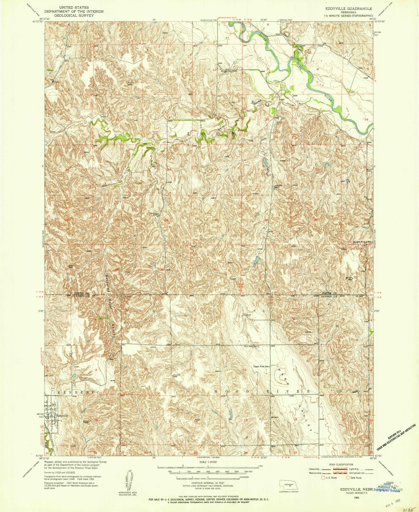
Classic USGS Eddyville Nebraska 7.5'x7.5' Topo Map
Couldn't load pickup availability
Historical USGS topographic quad map of Eddyville in the state of Nebraska. Map scale may vary for some years, but is generally around 1:24,000. Print size is approximately 24" x 27"
This quadrangle is in the following counties: Custer, Dawson.
The map contains contour lines, roads, rivers, towns, and lakes. Printed on high-quality waterproof paper with UV fade-resistant inks, and shipped rolled.
Contains the following named places: Buzzards Roost Canyon, Deer Creek, Eddyville, Eddyville Post Office - CPO, Eddyville Rural Volunteer Fire Department, Eutsler Dam, Eutsler Reservoir, Hidden Hollow School, Mount Olive School, Park Valley Cemetery, Saint Patricks Catholic Church, Shadley Dam, Shadley Reservoir, United Methodist Church, Upper Park School, Village of Eddyville, Warm Swamp