MyTopo
Classic USGS Eden Reservoir West Wyoming 7.5'x7.5' Topo Map
Regular price
$16.95
Regular price
Sale price
$16.95
Unit price
per
Couldn't load pickup availability
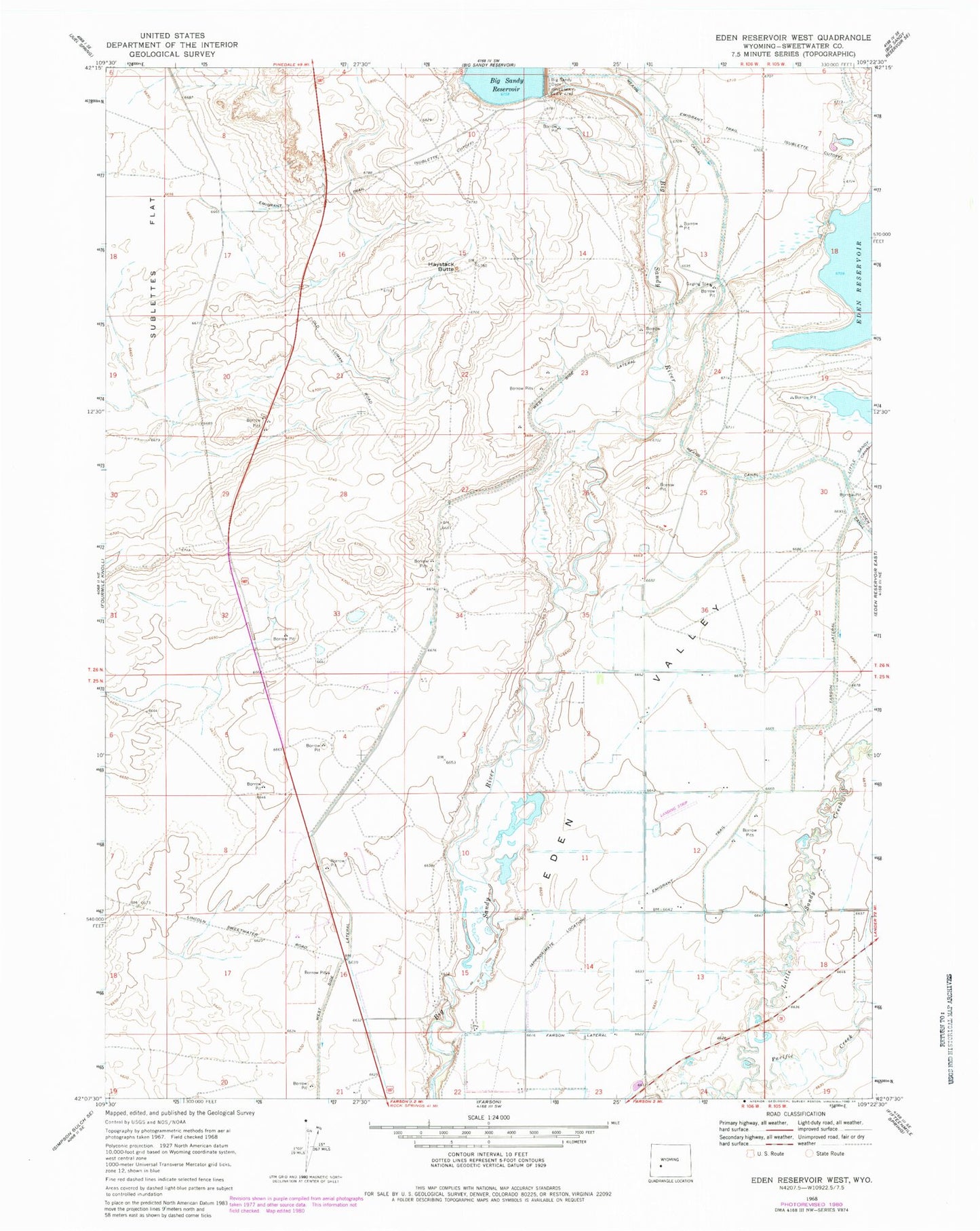
Historical USGS topographic quad map of Eden Reservoir West in the state of Wyoming. Map scale may vary for some years, but is generally around 1:24,000. Print size is approximately 24" x 27"
This quadrangle is in the following counties: Sweetwater.
The map contains contour lines, roads, rivers, towns, and lakes. Printed on high-quality waterproof paper with UV fade-resistant inks, and shipped rolled.
Contains the following named places: Big Sandy Dam, Eden Irrigation and Land Company Number 1 Dam, Eden Reservoir Number 1, Farson Census Designated Place, Farson Lateral, Haystack Butte, Means Canal, Pacific Creek, West Side Lateral