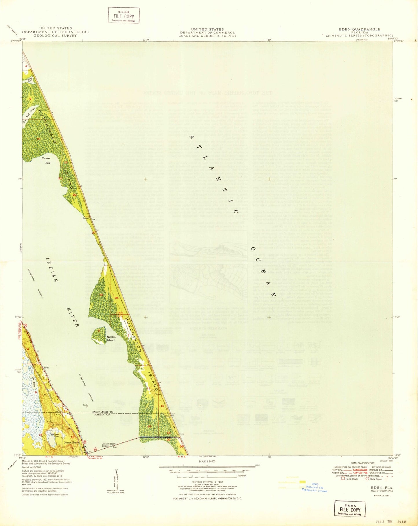
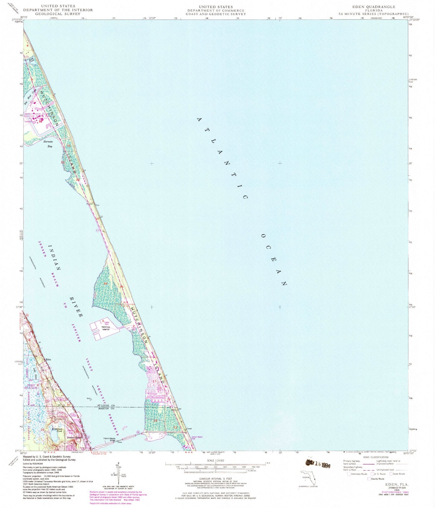
MyTopo
Classic USGS Eden Florida 7.5'x7.5' Topo Map
Couldn't load pickup availability
Historical USGS topographic quad map of Eden in the state of Florida. Map scale may vary for some years, but is generally around 1:24,000. Print size is approximately 24" x 27"
This quadrangle is in the following counties: Martin, St. Lucie.
The map contains contour lines, roads, rivers, towns, and lakes. Printed on high-quality waterproof paper with UV fade-resistant inks, and shipped rolled.
Contains the following named places: Church of God, Eden, Florida Power and Light Nuclear Power Plant Heliport, Henderson Pond, Herman Bay, Hutchinson Beach Post Office, Hutchinson Island, Hutchinson Island Division, Hutchinson Island Nuclear Power Plant, Hutchinson Island South Census Designated Place, Jensen Beach, Jensen Beach Park, Lake Eden, Nettles Island, Pierce Shoal, Saint Lucie County Fire District Station 8, Saint Lucie Power Plant, Saint Lucie Shoal, The Frank A Wacha Bridge, Waveland, ZIP Code: 34957