MyTopo
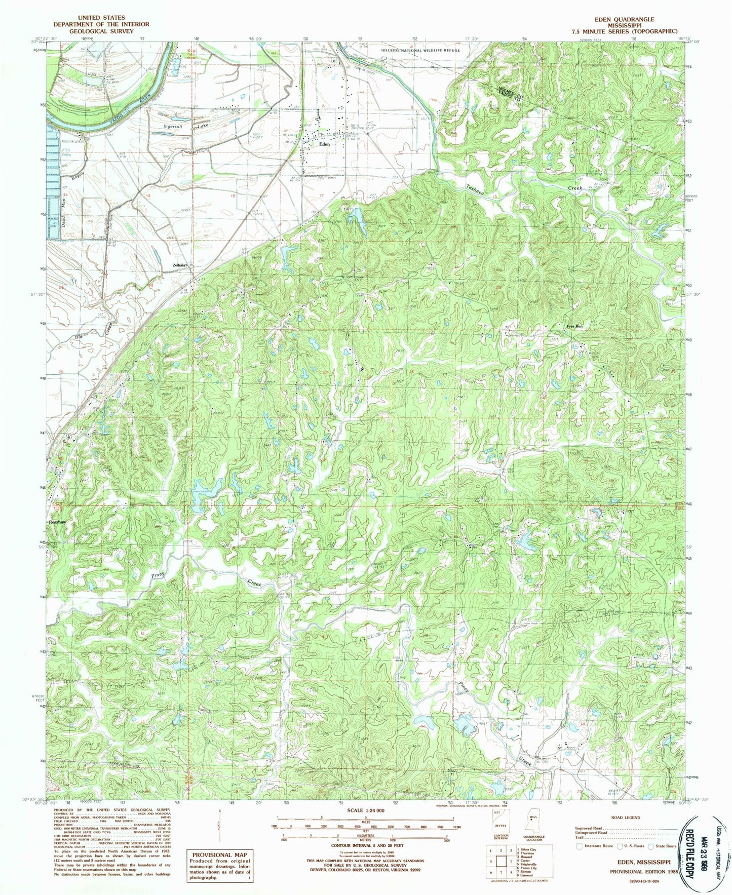
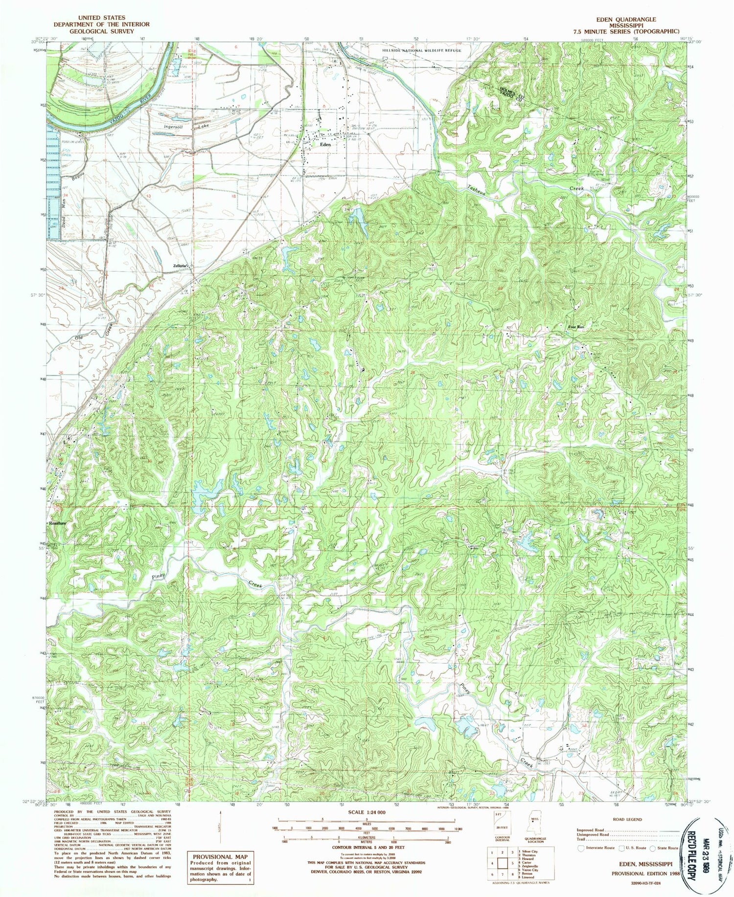
Classic USGS Eden Mississippi 7.5'x7.5' Topo Map
Couldn't load pickup availability
Historical USGS topographic quad map of Eden in the state of Mississippi. Map scale may vary for some years, but is generally around 1:24,000. Print size is approximately 24" x 27"
This quadrangle is in the following counties: Holmes, Yazoo.
The map contains contour lines, roads, rivers, towns, and lakes. Printed on high-quality waterproof paper with UV fade-resistant inks, and shipped rolled.
Contains the following named places: Coleman Ponds Dam, Dead Man Bayou, Double Springs Church, Dover, Dover Landing, Eden, Eden Baptist Church, Eden Creek Watershed Number 10 Dam, Eden Creek Watershed Y-370-3 Dam, Eden Volunteer Fire Department, Fouche Lake Dam, Free Run, Hardshell Cemetery, Ingersoll Lake, Ingersols Landing, Johnston Lake Dam, Morning Star Church, New Foundation Church, Old Creek, Pearce, Piney Creek Watershed Structure 23 Dam, Piney Creek Watershed Y-38-3 Dam, Piney Creek Watershed Y-38-35 Dam, Piney Watershed Y-38-33 Dam, Pleasant Hill Church, Rocky Springs Church, Sheppards Landing, Strickland Lake Dam, Supervisor District 4, Tranquil Church, Van Land Landing, Village of Eden, Zelleria


