MyTopo
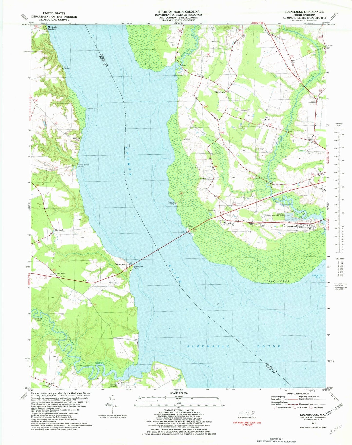
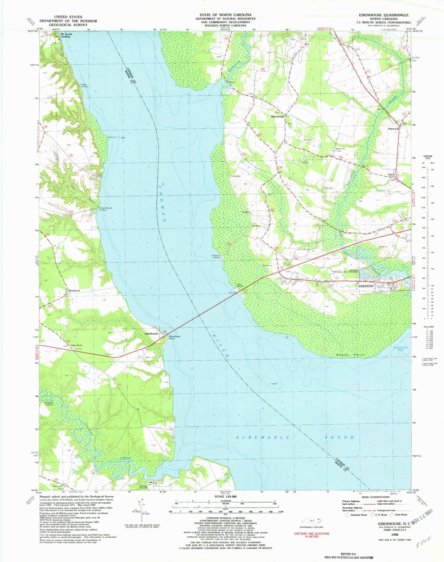
Classic USGS Edenhouse North Carolina 7.5'x7.5' Topo Map
Couldn't load pickup availability
Historical USGS topographic quad map of Edenhouse in the state of North Carolina. Map scale may vary for some years, but is generally around 1:24,000. Print size is approximately 24" x 27"
This quadrangle is in the following counties: Bertie, Chowan.
The map contains contour lines, roads, rivers, towns, and lakes. Printed on high-quality waterproof paper with UV fade-resistant inks, and shipped rolled.
Contains the following named places: Avoca, Ball Grey Landing, Bennett Mill Pond, Bennett Mill Pond Dam, Black Rock Fishery, Blackrock, Bowman Bridge, Capeharts Fishery, Chambers Landing, Chowan River, Copper Neck, Countryside Church of Christ, Edenhouse, Edenhouse Point, Edenton National Fish Hatchery, Emperor Landing, First Assembly of God Church, Freemans Landing, Hancock, Hermitage Wharf, Hoffman Chapel, Lawrence Landing, Littledals Ferry Site, Macedonia, Macedonia Church, Mount Gould Landing, Oxley Hill Church, Peterson Church, Pollock Swamp, Reedy Point, Rockyhock Creek, Salmon Creek, Steele Landing, Todd Landing, Township 1-Edenton, Wildcat Bridge, Wildcat Church, Wilder Landing, Willifords Landing, Willis Landing, Willow Branch, Willow Branch Landing


