MyTopo
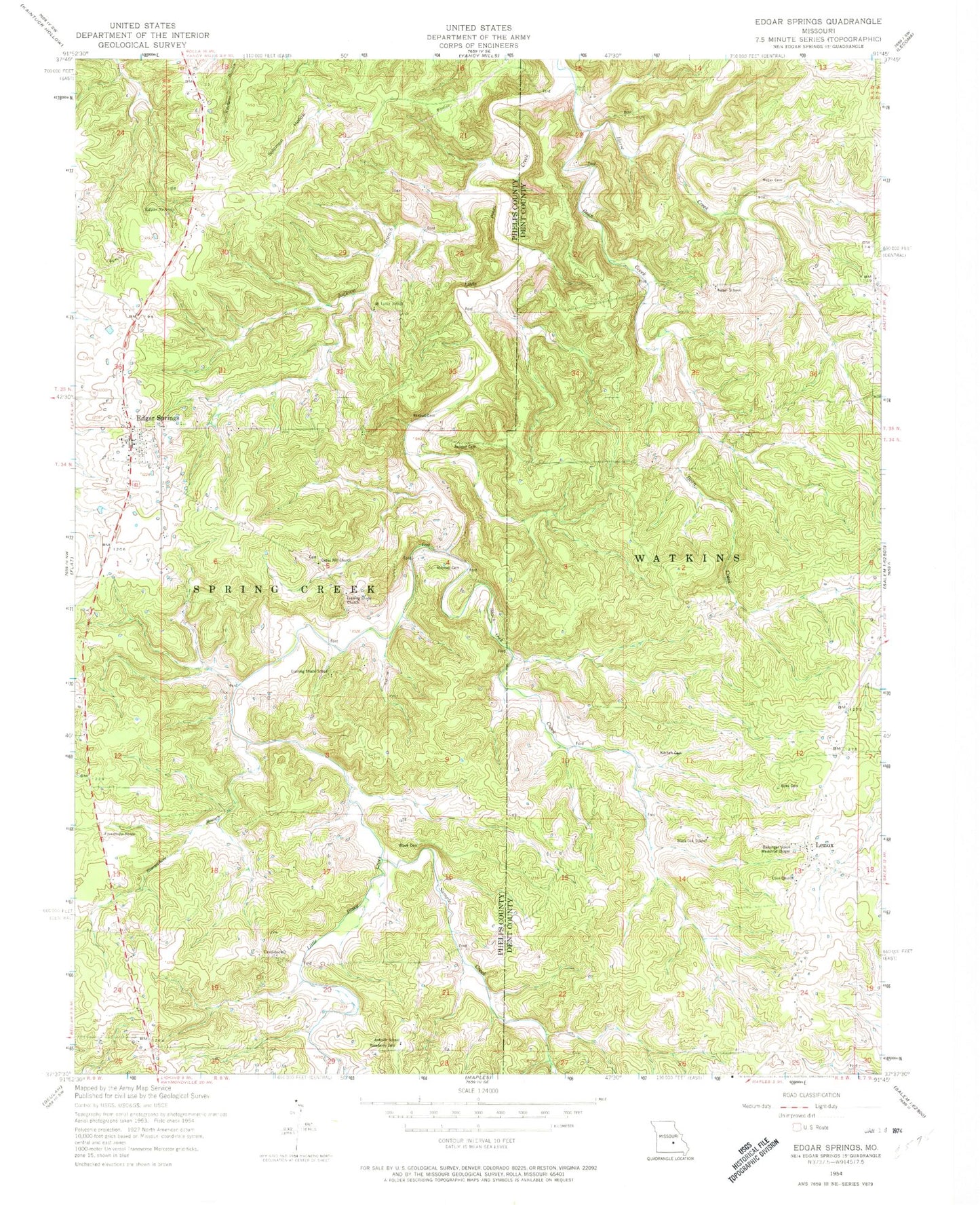
Classic USGS Edgar Springs Missouri 7.5'x7.5' Topo Map
Couldn't load pickup availability
Historical USGS topographic quad map of Edgar Springs in the state of Missouri. Map scale may vary for some years, but is generally around 1:24,000. Print size is approximately 24" x 27"
This quadrangle is in the following counties: Dent, Phelps.
The map contains contour lines, roads, rivers, towns, and lakes. Printed on high-quality waterproof paper with UV fade-resistant inks, and shipped rolled.
Contains the following named places: Antioch School, Bassinger Union Memorial Chapel, Bean Creek, Black Cemetery, Black Oak Creek, Black Oak School, Cedar Hill Cemetery, Cedar Hill Church, Church of Christ, City of Edgar Springs, Craddock, Craddock Cemetery, Edgar Spring, Edgar Springs, Edgar Springs Cemetery, Edgar Springs Post Office, Edgar Springs Rural Fire Department, Enke Cemetery, Enon Church, Evening Shade Church, Evening Shade School, Everywhere Branch, First Baptist Church, Freemans Store, Hall/Heavin Cemetery, Horse Creek, Jackson Branch, Jocoy Cemetery, Kitchen Cemetery, Lake Tealwood, Lenox, Lenox Rural Fire Department Headquarters, Mitchell Cemetery, Mount Tabor School, North Lenox, Old Edgar Springs Cemetery, Renaud Cemetery, Richard F Clement Memorial State Forest and Wildlife Area, Roseberry Cemetery, Sample Creek, Samples Cemetery, Tealwood Dam, Weber Cemetery, Weber School, ZIP Codes: 65462, 65541