MyTopo
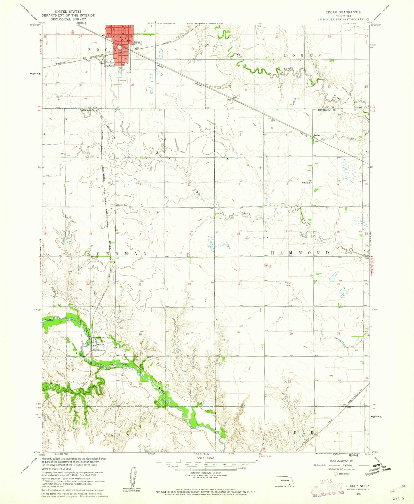
Classic USGS Edgar Nebraska 7.5'x7.5' Topo Map
Couldn't load pickup availability
Historical USGS topographic quad map of Edgar in the state of Nebraska. Map scale may vary for some years, but is generally around 1:24,000. Print size is approximately 24" x 27"
This quadrangle is in the following counties: Clay, Nuckolls.
The map contains contour lines, roads, rivers, towns, and lakes. Printed on high-quality waterproof paper with UV fade-resistant inks, and shipped rolled.
Contains the following named places: Angus, Angus Post Office, Aurora Cooperative Elevator Company Elevator, Church of the Plains, City of Edgar, Community Care of Edgar, Drohman Dam-1 Dam, Drohman Reservoir, Edgar, Edgar Cemetery, Edgar Christian Church, Edgar Grain and Supply Company Elevator, Edgar Lutheran Church, Edgar Police Department, Edgar Post Office, Edgar Volunteer Fire and Rescue, Elk Election Precinct, Jensen Dam, Jensen Reservoir, Mazour-Schroeder Dam, Mazour-Schroeder Reservoir, Mountford Dam, Mountford Lake, Oxbow Creek, Pioneer School, Sedan, Sedan Post Office, Sedan School, Sherman Election Precinct, South Park, Standpipe Park, Sugden Health Center, Township of Sherman