MyTopo
Classic USGS Edgerton NE Minnesota 7.5'x7.5' Topo Map
Regular price
$16.95
Regular price
Sale price
$16.95
Unit price
per
Couldn't load pickup availability
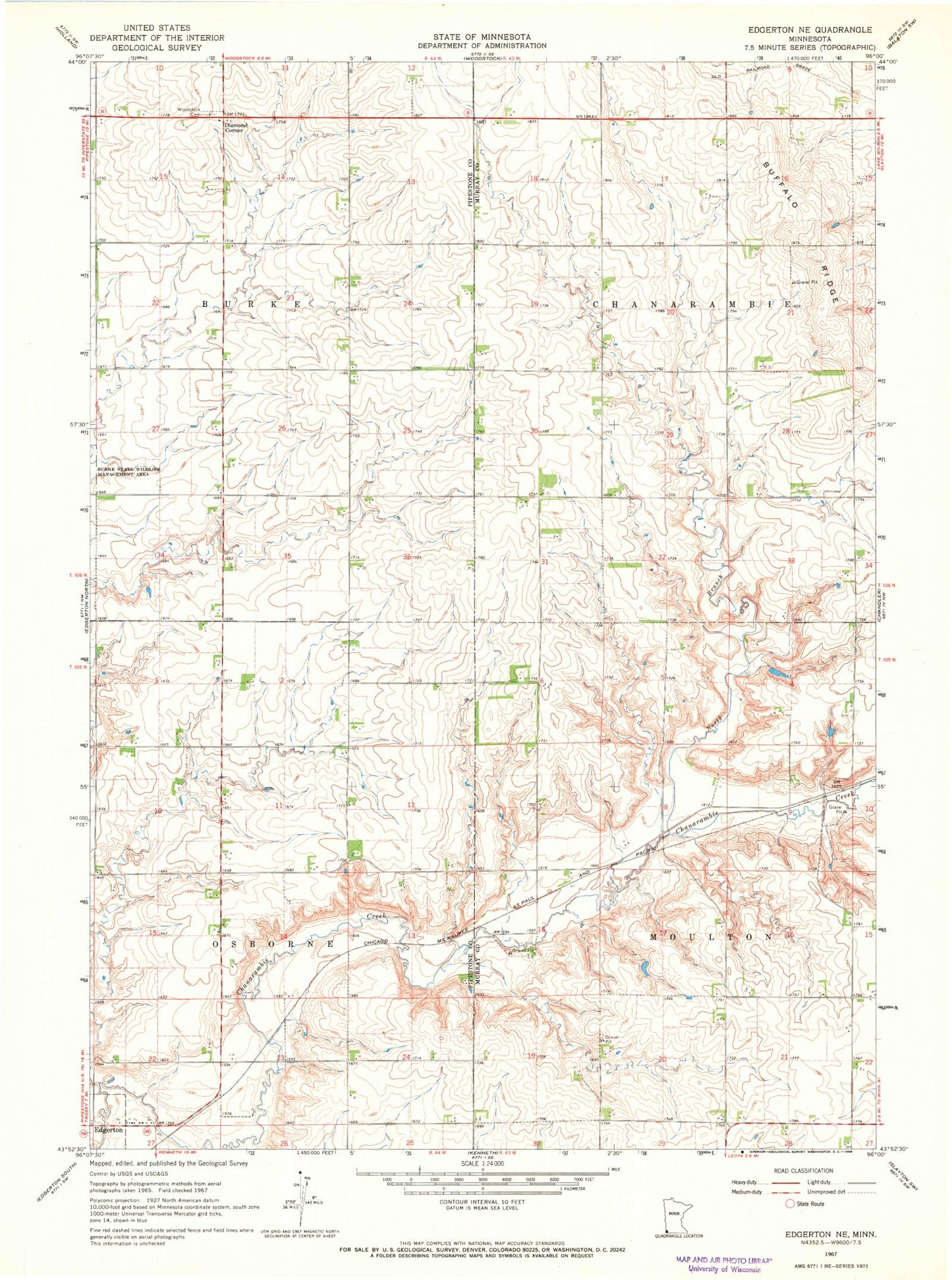
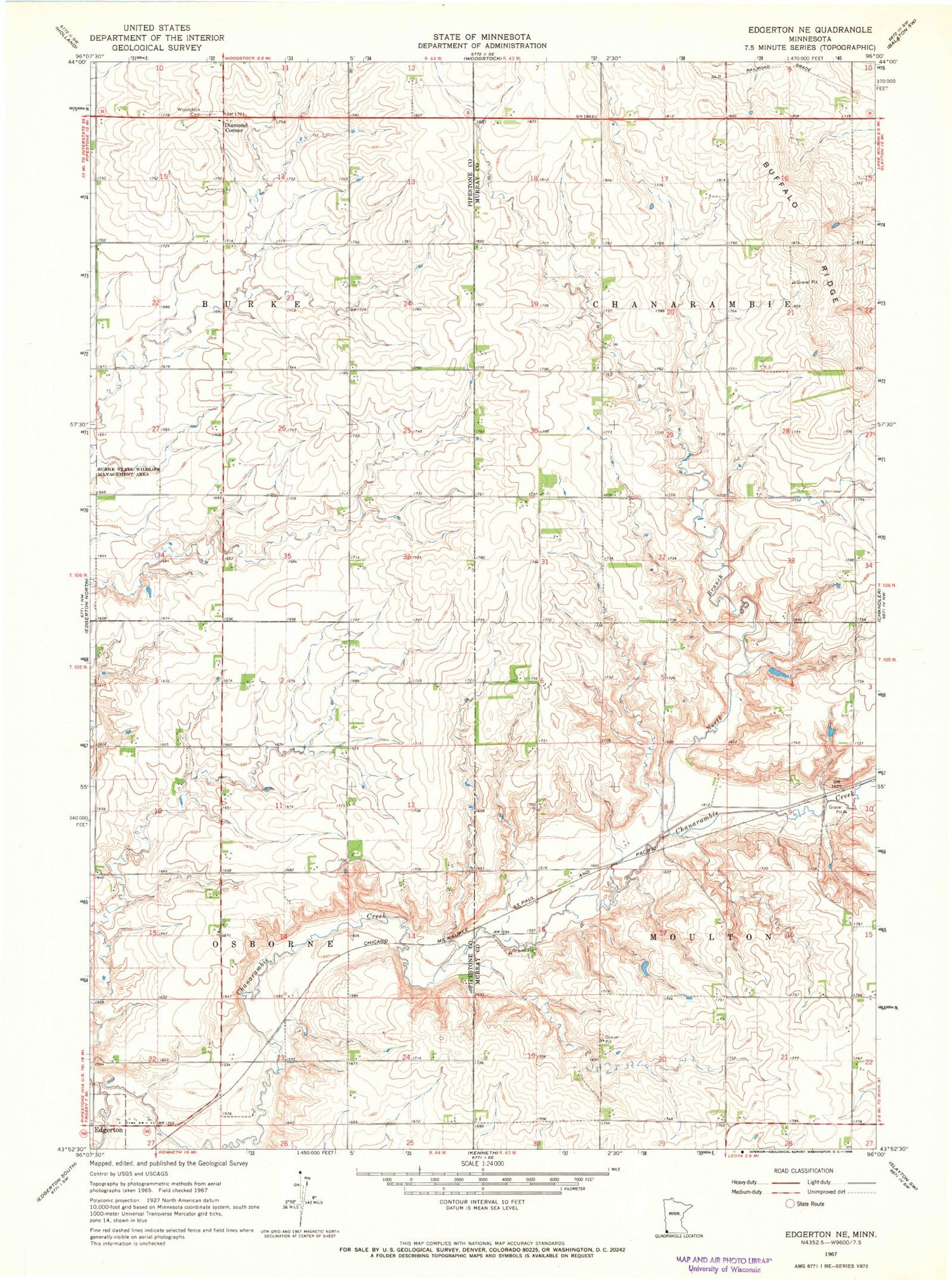
Historical USGS topographic quad map of Edgerton NE in the state of Minnesota. Map scale may vary for some years, but is generally around 1:24,000. Print size is approximately 24" x 27"
This quadrangle is in the following counties: Murray, Pipestone.
The map contains contour lines, roads, rivers, towns, and lakes. Printed on high-quality waterproof paper with UV fade-resistant inks, and shipped rolled.
Contains the following named places: Buffalo Ridge, Degroot Farms, Diamond Corner, Fey Farms, Jasper Dairy, North Branch Chanarambie Creek, Rylaarsdam Dairy Farm, Township of Burke, Township of Chanarambie, Township of Moulton, Township of Osborne, Woodstock Cemetery, ZIP Code: 56128