MyTopo
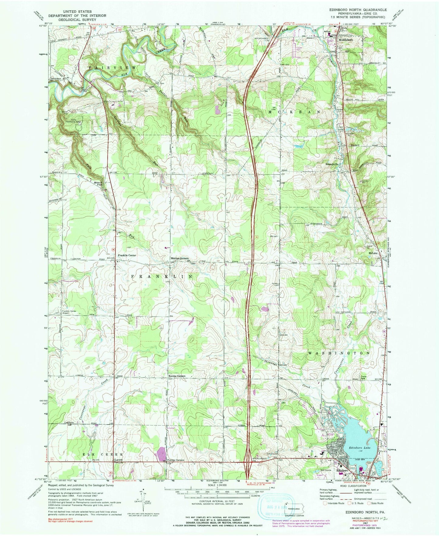
Classic USGS Edinboro North Pennsylvania 7.5'x7.5' Topo Map
Couldn't load pickup availability
Historical USGS topographic quad map of Edinboro North in the state of Pennsylvania. Map scale may vary for some years, but is generally around 1:24,000. Print size is approximately 24" x 27"
This quadrangle is in the following counties: Erie.
The map contains contour lines, roads, rivers, towns, and lakes. Printed on high-quality waterproof paper with UV fade-resistant inks, and shipped rolled.
Contains the following named places: Allen Family Cemetery, Apple Tree Farm, Barking Rock Farm, Bethel Church, Black Kettle Farms, Borough of McKean, Branchville, Branchville School, Camp Hawthorne Ridge, Central Erie County Paramedic Association - McKean Station, Clearview Ranch, Crandall Farms, Culberston Hills Golf Course, Dillen Personal Airport, Edinboro Cemetery, Edinboro Elementary School, Edinboro Lake, Edinboro Lake Dam, Elk School, Elk Valley Golf Course, Erie County Public Library Edinboro Branch, Eureka Corners, Eureka School, Falk Run, Foy Corners School, Franklin Center, Franklin Township Volunteer Fire Department Station 72, Golden Cemetery, Goodban Run, Goodban School, Harrison School, Hauck Cemetery, Holiday Acres Golf Course, Howard Fall School, Howard Falls, Lamson Run, Lavery, McKean Elementary School, McKean Hose Company Station 40, McKean P O and Station, McKean Post Office, McLane, McLane Cemetery, Middleboro, Mill Race Farm, Mishler Corners, Pleasure Golf Course, Porter Run, Powers Corners, Schaffer School, Shaffer School, Shenango Creek, Silverthorn School, Stanley Farms, Townline School, Township of Franklin, Township of McKean, Trinity Church, Vanco Farms, Wellman School, WFSE-FM (Edinboro), ZIP Codes: 16412, 16426


