MyTopo
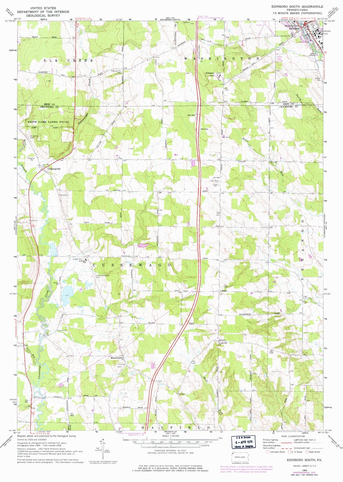
Classic USGS Edinboro South Pennsylvania 7.5'x7.5' Topo Map
Couldn't load pickup availability
Historical USGS topographic quad map of Edinboro South in the state of Pennsylvania. Map scale may vary for some years, but is generally around 1:24,000. Print size is approximately 24" x 27"
This quadrangle is in the following counties: Crawford, Erie.
The map contains contour lines, roads, rivers, towns, and lakes. Printed on high-quality waterproof paper with UV fade-resistant inks, and shipped rolled.
Contains the following named places: Carmel - Freeman Cemetery, Carr Run, Central Erie County Paramedic Association - Edinboro Station, Clausen School, Crossingville, Culbertson Hills Airport, Cussewago Township School, Daniels School, Dundon School, Edinboro, Edinboro Police Department, Edinboro University of Pennsylvania, Edinboro Volunteer Fire Department 38, Freeman School, Gibson Hill, Gibson School, Gospel Hill Church, Harned Cemetery, Himebaugh School, Homan School, Hotchkiss School, Kearney School, Lewis Cemetery, Lewis Church, Mosiertown, Reichel Cemetery, Saint James Cemetery, Saints Peter and Paul Orthodox Cemetery, Sandbank School, Sherred Hill School, Sherrod Hill Cemetery, State Game Lands Number 152, State Game Lands Number 269, Stebbins Cemetery, Tobin Farms, Township of Cussewago, Waldo School, West Branch Cussewago Creek, Whites School, ZIP Code: 16440


