MyTopo
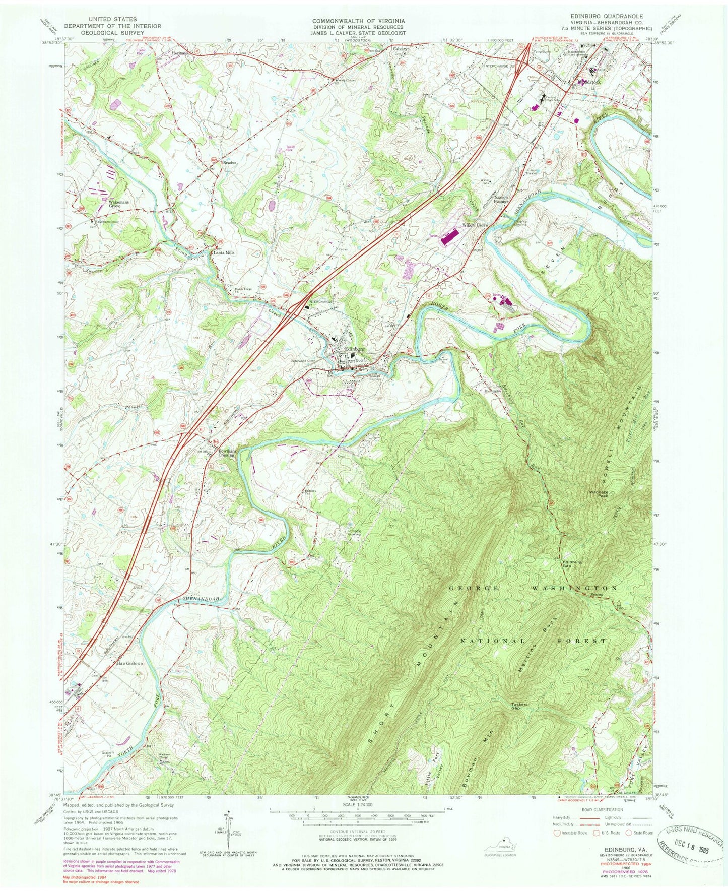
Classic USGS Edinburg Virginia 7.5'x7.5' Topo Map
Couldn't load pickup availability
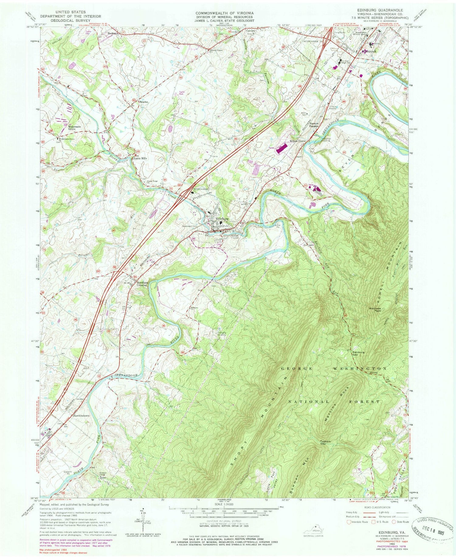
Historical USGS topographic quad map of Edinburg in the state of Virginia. Map scale may vary for some years, but is generally around 1:24,000. Print size is approximately 24" x 27"
This quadrangle is in the following counties: Shenandoah.
The map contains contour lines, roads, rivers, towns, and lakes. Printed on high-quality waterproof paper with UV fade-resistant inks, and shipped rolled.
Contains the following named places: Bowman Mountain, Bowmans Crossing, Calvary, Cedarwood Cemetery, Central High School, Chapman Landing, District 3, Edinburg, Edinburg Dam, Edinburg Elementary School, Edinburg Gap, Edinburg Police Department, Edinburg Post Office, Edinburg Reservoir, Edinburg Run, Forty Foot Gully, Harmony, Hawkinstown, Karmy's Airport, Lantz Mills, Lee Ranger District Office, Lee Work Center, Liberty Run, Little Fort Trail, Longs Airport, Mertins Rock, Mount Calvary Church of Christ Cemetery, Narrow Passage, Narrow Passage Creek, Oak Level Church, Painter Run, Palmyra Cemetery, Palmyra Church, Peter Muhlenberg Middle School, Powell Mountain, Readus, Red Banks, Shenandoah County, Shenandoah County Fairgrounds, Shenandoah County Fire and Rescue Station 15 - Edinburg Volunteer Fire Department, Shenandoah County Fire and Rescue Station 5 - Woodstock Volunteer Rescue Squad, Shenandoah Memorial Hospital, Shenandoah Vineyards, Short Mountain, Stony Creek, Swover Creek, Taskers Gap, Town of Edinburg, Union Forge Cemetery, Union Forge Church, W W Robinson Elementary School, Wakemans Grove, Wakemans Grove Cemetery, Wakemans Grove Church, Walkers Chapel, WAMM-AM (Woodstock), Waonaze Peak, WAZR-FM (Woodstock), Wesley Chapel, Willow Grove, WSIG-FM (Mount Jackson), WSVG-AM (Mount Jackson)


