MyTopo
Classic USGS Edison California 7.5'x7.5' Topo Map
Regular price
$16.95
Regular price
Sale price
$16.95
Unit price
per
Couldn't load pickup availability
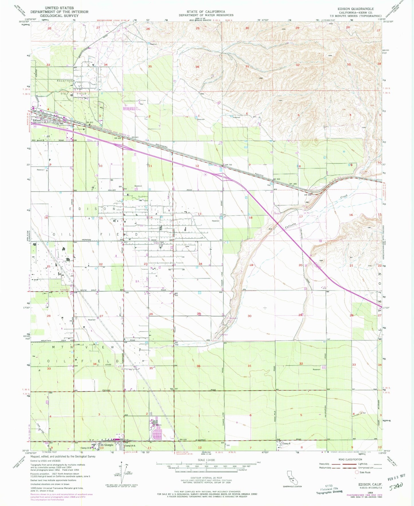
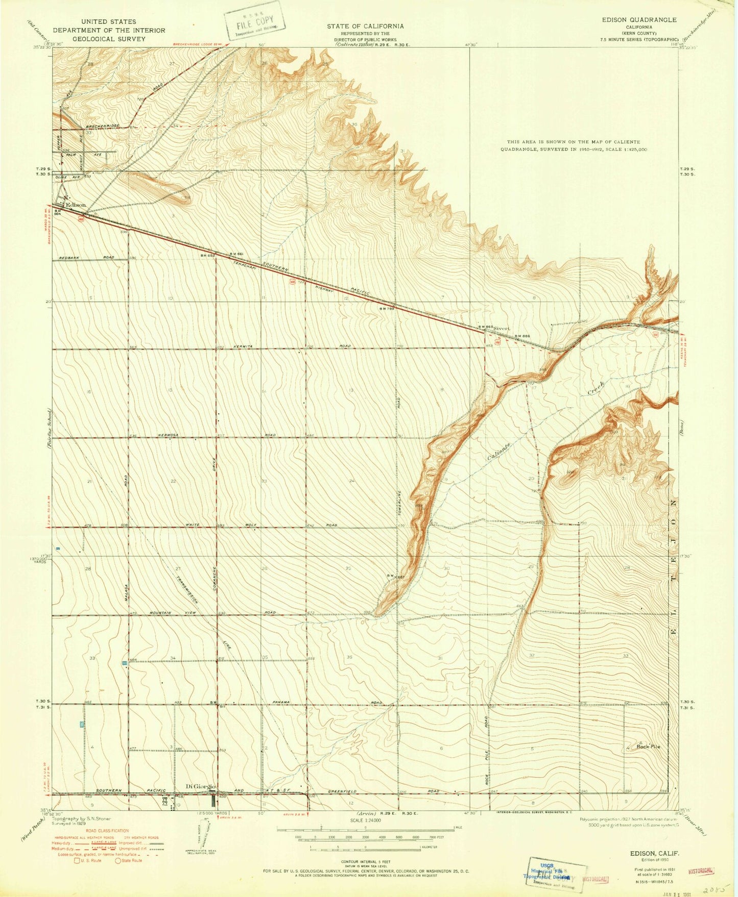
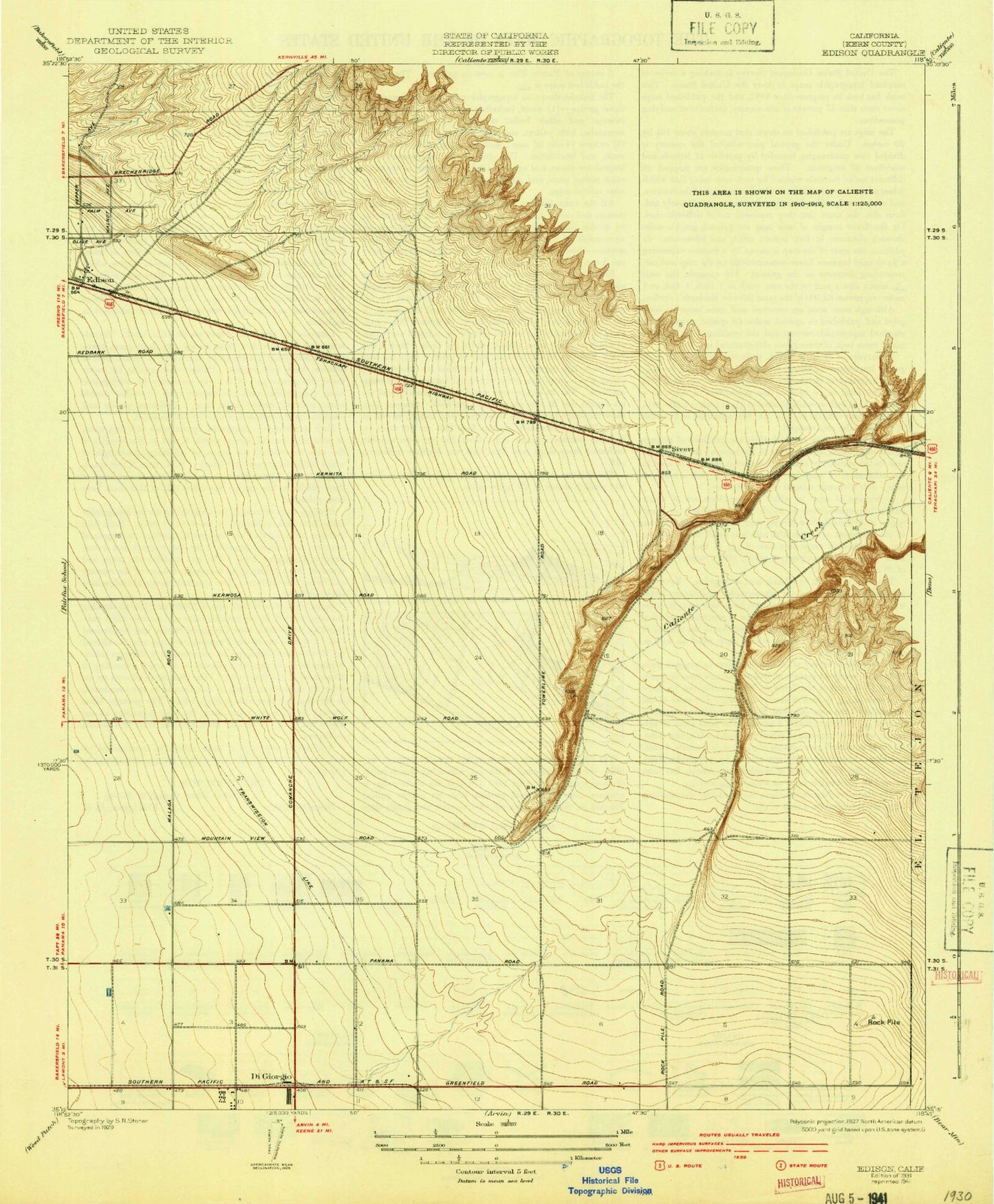
Historical USGS topographic quad map of Edison in the state of California. Map scale may vary for some years, but is generally around 1:24,000. Print size is approximately 24" x 27"
This quadrangle is in the following counties: Kern.
The map contains contour lines, roads, rivers, towns, and lakes. Printed on high-quality waterproof paper with UV fade-resistant inks, and shipped rolled.
Contains the following named places: Caliente Creek, Camp Eight, Camp Ten A, Camp Ten B, Di Giorgio, Di Giorgio Ranch Landing Strip, Edison, Edison Census Designated Place, Edison Oil Field, Edison Post Office, Kern County Fire Department Station 45 Edison, Mountain View Oil Field, Racetrack Oil Field, Rock Pile, Treves