MyTopo
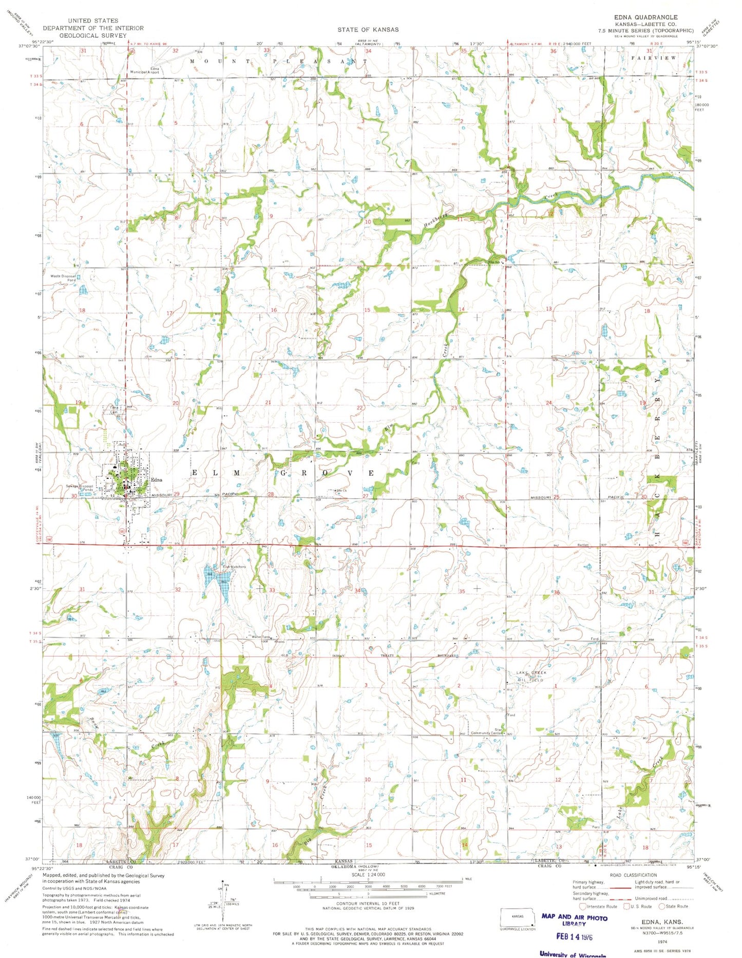
Classic USGS Edna Kansas 7.5'x7.5' Topo Map
Couldn't load pickup availability
Historical USGS topographic quad map of Edna in the state of Kansas. Map scale may vary for some years, but is generally around 1:24,000. Print size is approximately 24" x 27"
This quadrangle is in the following counties: Labette.
The map contains contour lines, roads, rivers, towns, and lakes. Printed on high-quality waterproof paper with UV fade-resistant inks, and shipped rolled.
Contains the following named places: Bartlett Co - Operative Association Grain Elevator Number 3, City of Edna, Cross Timbers Community Church, Edna, Edna Cemetery, Edna City Hall, Edna Grade School, Edna Post Office, Edna Public Library, Edna United Methodist Church, Edna Volunteer Fire Department, Edna Wastewater Treatment Plant, Ellis Elementary School, Elm Church, Elm City, Elm Creek, First Baptist Church, Hawkins School, Kingston, Lake Creek Oil Field, Lucas Cemetery, McClintock Kingston Cemetery, Minerva, Parkville School, Ripon School, Rose Hill School, Star Community Center, Star School, Township of Elm Grove, Valley School, ZIP Code: 67342