MyTopo
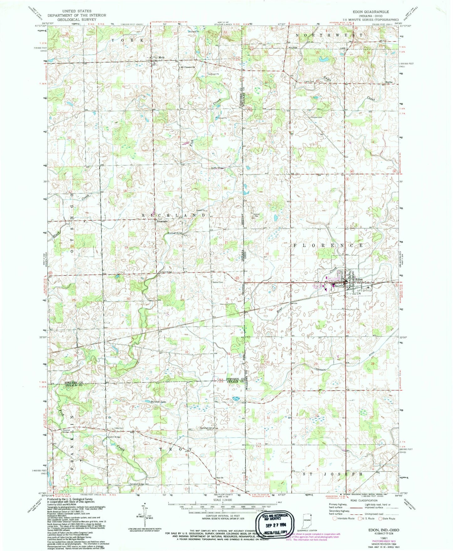
Classic USGS Edon Ohio 7.5'x7.5' Topo Map
Couldn't load pickup availability
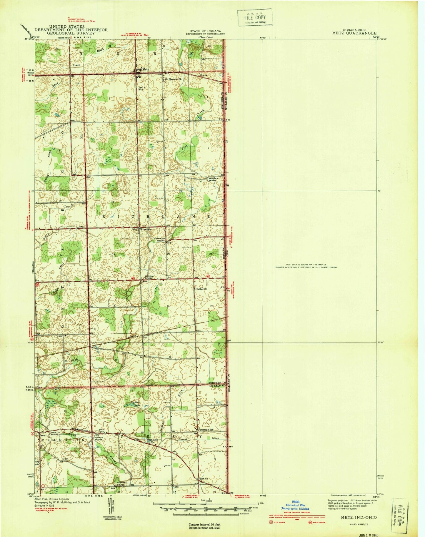
Historical USGS topographic quad map of Edon in the states of Ohio, Indiana. Map scale may vary for some years, but is generally around 1:24,000. Print size is approximately 24" x 27"
This quadrangle is in the following counties: DeKalb, Steuben, Williams.
The map contains contour lines, roads, rivers, towns, and lakes. Printed on high-quality waterproof paper with UV fade-resistant inks, and shipped rolled.
Contains the following named places: Alvarado, Anspaugh Bridge, Berlin, Bethel Cemetery, Boisher Cemetery, Burdick Lake, Campbell Bridge, Doty School, Eddy Cemetery, Edon, Edon Cemetery, Edon Community Park, Edon High School, Edon Home Court, Edon Post Office, Edon United Methodist Church, Edon Village Police Department, Enfield Bridge, Florence Township Fire Department, Gaskill Bridge, Gimblet Hill School, Hiram Sweet Ditch, Lash School, Ligett Cemetery, Matthews Creek, Metz, Metz Volunteer Fire Department, Mount Pleasant Church, Saint Peters Lutheran Church, School Number 4, School Number 5, Shaffer Bridge, Tamarack Ditch, Tamarack School, Township of Richland, Village of Edon, Williams County Emergency Medical Services Medic 4, Woodwind Hollow Golf Course, Zion Church, ZIP Code: 43518