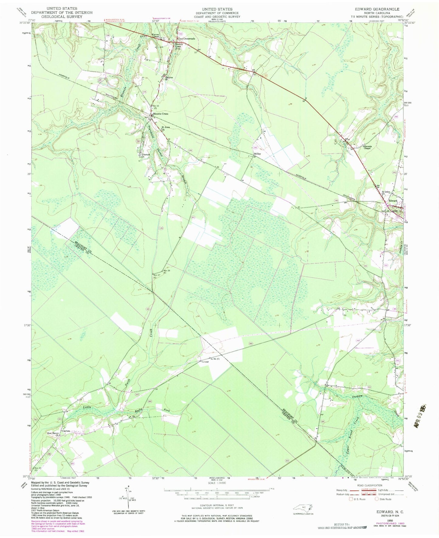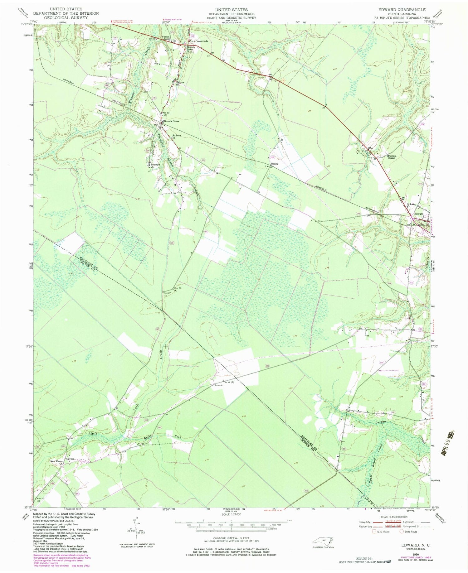
MyTopo
Classic USGS Edward North Carolina 7.5'x7.5' Topo Map
Couldn't load pickup availability
Historical USGS topographic quad map of Edward in the state of North Carolina. Map scale may vary for some years, but is generally around 1:24,000. Print size is approximately 24" x 27"
This quadrangle is in the following counties: Beaufort, Craven, Pamlico.
The map contains contour lines, roads, rivers, towns, and lakes. Printed on high-quality waterproof paper with UV fade-resistant inks, and shipped rolled.
Contains the following named places: Aurora Fire Department Edward Substation, Blounts Creek, Blounts Creek Post Office, Blounts Creek Volunteer Fire Department, Bushy Fork, Cayton, Coxs Crossroads, Edward, Edward Post Office, Egypt, Jones Store, Little Swift Creek Volunteer Fire Department, New Haven Church, Phennia Chapel, Poundpole Swamp Branch, Saint Anna Church, Saint Luke Church, Smyrna Church, Stilley, Triumph Church, Warren Chapel