MyTopo
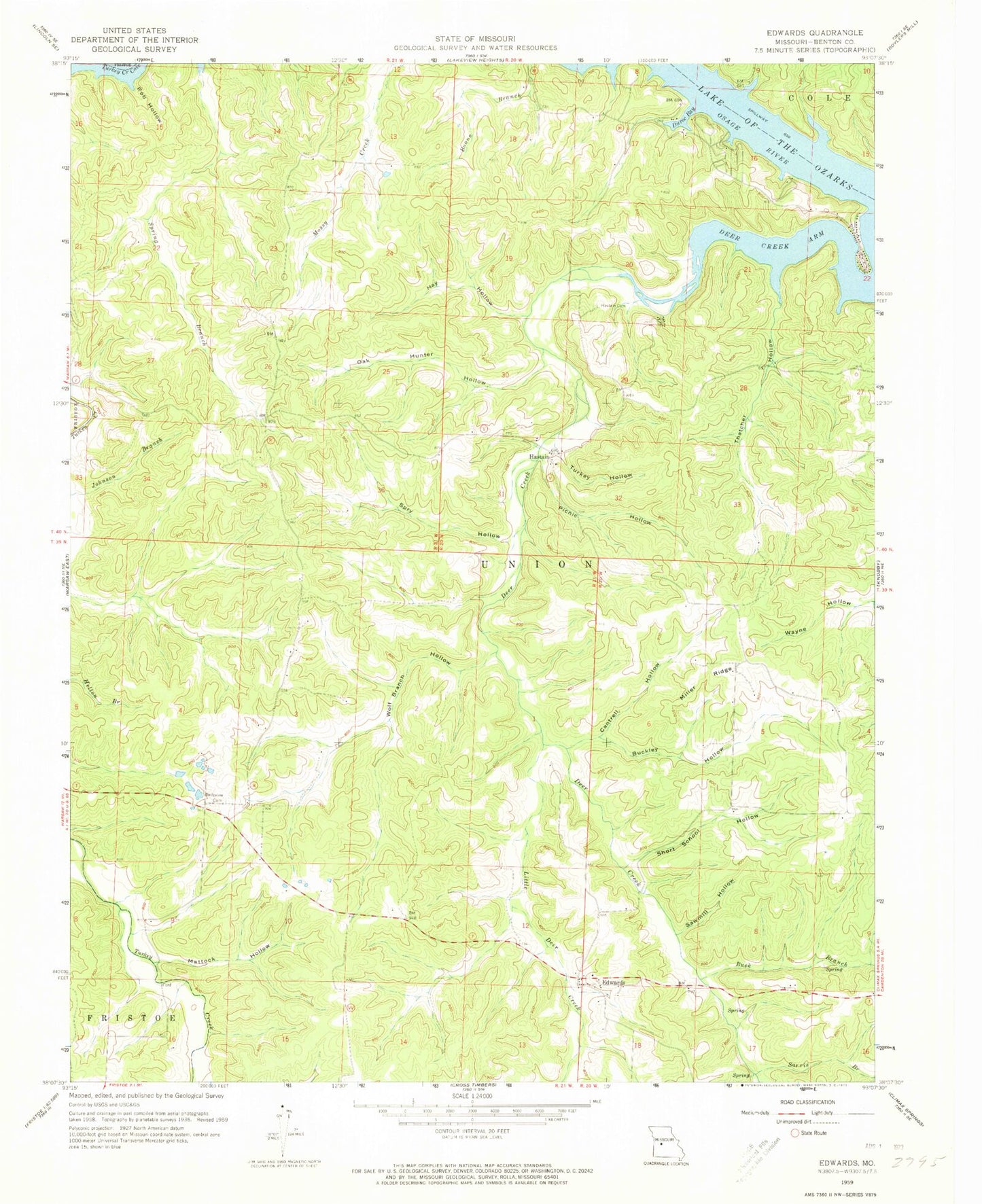
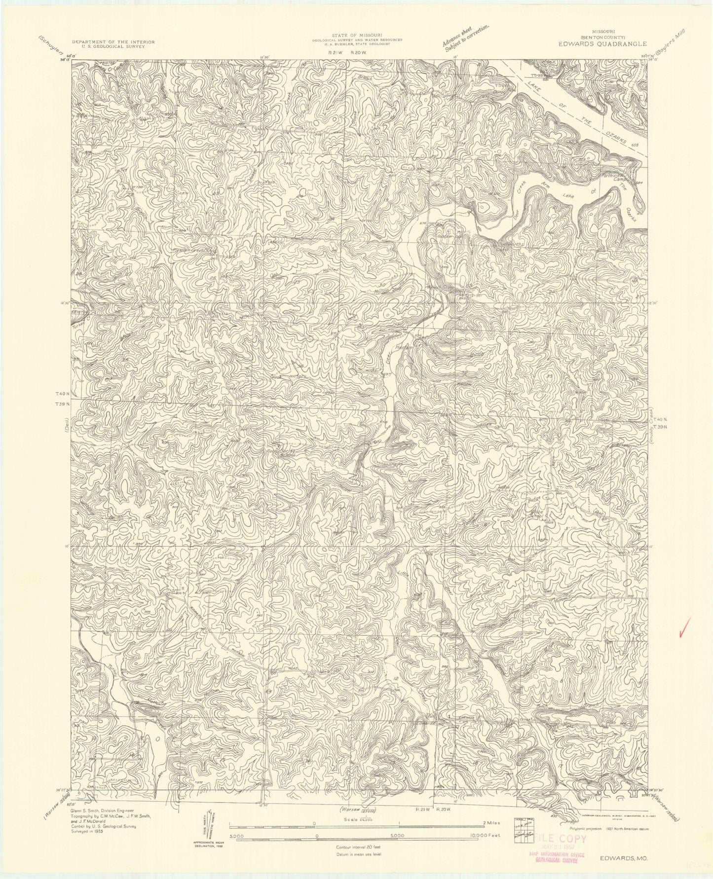
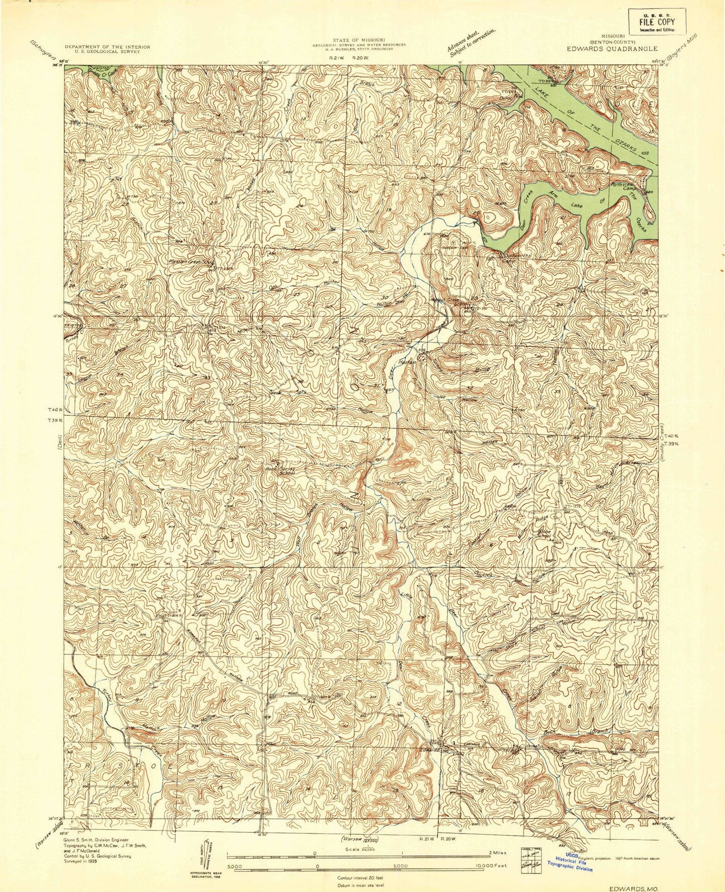
Classic USGS Edwards Missouri 7.5'x7.5' Topo Map
Couldn't load pickup availability
Historical USGS topographic quad map of Edwards in the state of Missouri. Map scale may vary for some years, but is generally around 1:24,000. Print size is approximately 24" x 27"
This quadrangle is in the following counties: Benton.
The map contains contour lines, roads, rivers, towns, and lakes. Printed on high-quality waterproof paper with UV fade-resistant inks, and shipped rolled.
Contains the following named places: Belleview Cemetery, Buck Branch, Buckley Hollow, Cantrell Hollow, Deer Creek, Deer Creek Arm, Deer Creek Fire Protection District Station 2, Deer Creek Fire Protection District Station 3 Headquarters, Deer Creek Fire Protection District Station 4, Duroc, Duroc Bay, Edwards, Edwards Post Office, Edwards School, Globe School, Haistain School, Hastain, Hastain Cemetery, Hay Hollow, Jockey City Corners, Lakewood Lake, Little Deer Creek, Mattock Hollow, Miller Ridge, Oak Hunter Hollow, Picnic Hollow, Pleasant Green School, Rob Hollow, Rock Spring School, Sarvis Branch, Sawmill Hollow, Short School Hollow, Spry Hollow, Thatcher Hollow, Township of Union, Turkey Hollow, William Hayes Lake Dam, Wolf Branch Hollow, ZIP Code: 65326


