MyTopo
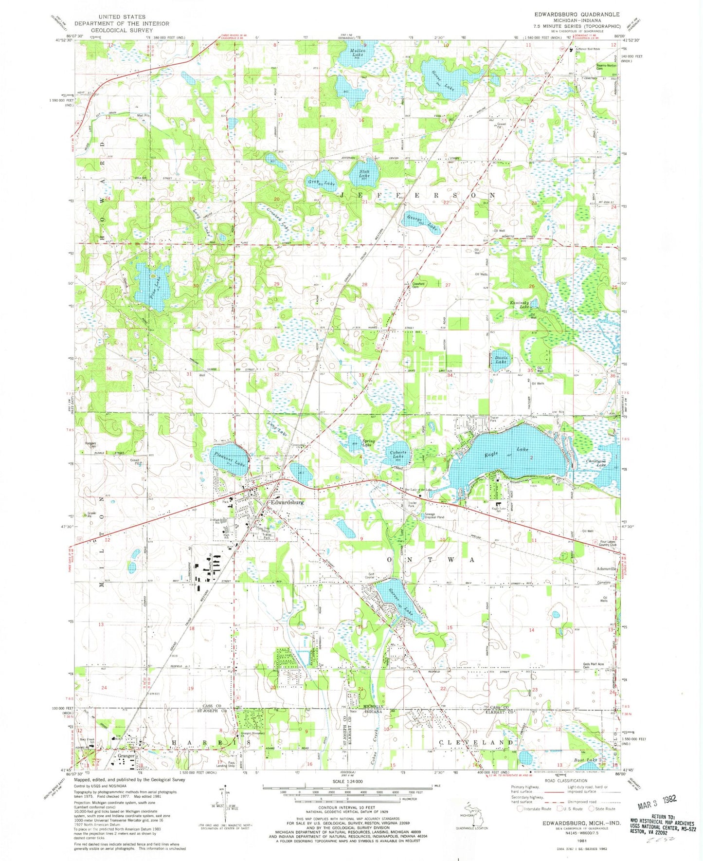
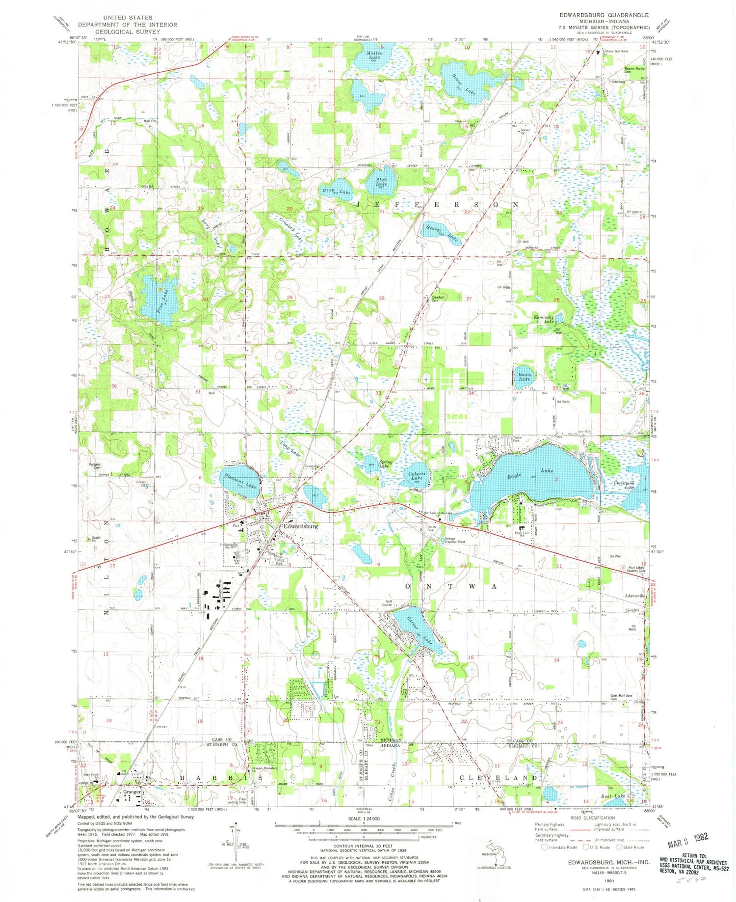
Classic USGS Edwardsburg Michigan 7.5'x7.5' Topo Map
Couldn't load pickup availability
Historical USGS topographic quad map of Edwardsburg in the states of Michigan, Indiana. Map scale may vary for some years, but is generally around 1:24,000. Print size is approximately 24" x 27"
This quadrangle is in the following counties: Cass, Elkhart, St. Joseph.
The map contains contour lines, roads, rivers, towns, and lakes. Printed on high-quality waterproof paper with UV fade-resistant inks, and shipped rolled.
Contains the following named places: Adamsville Cemetery, Brick School, Calvin Community Chapel, Cass Evangelical Free Church, Cleveland Township Fire Department North Station, Coberts Lake, Colonial Acres Mobile Home Park, Community Church, Crawford Cemetery, Crooked Lake, Davis Lake, Eagle Lake, Eagle Lake Estates, Eagle Lake School, Edwardsburg, Edwardsburg Ambulance Service, Edwardsburg Cemetery, Edwardsburg Family Medicine, Edwardsburg Fire Department, Edwardsburg Fire Department North Station, Edwardsburg Mobile Home Estates, Edwardsburg Police Dept, Edwardsburg Post Office, Edwardsburg Public Library, Edwardsburg Public Schools, Edwardsburg Station, Edwardsburg United Pentecostal Church, Foos Field, Four Lakes Country Club, Garver Lake, George Lake, Gods Half Acre Cemetery, Goose Lake, Granger, Granger Missionary Church, Granger Post Office, Gray Lake, Hope United Methodist Church, Jefferson Center School, Jefferson Red Brick School, Jeffersonville Post Office, Kaminsky Lake, Kessington Community Church, LifeCare Ambulance Services, Long Lake, Mary Frank Harris Elementary School, Mueler Park, Mullen Lake, Ontwa Baptist Church, Our Lady of the Lake Church, Pine Lake, Pleasant Lake, Presbyterian Church, Presbyterian Church Historical Marker, Reams - Norton Cemetery, Redfield School, Rodgers Cemetery, Skab Lake, Spring Lake, Township of Jefferson, Township of Ontwa, Village of Edwardsburg, ZIP Code: 49112


