MyTopo
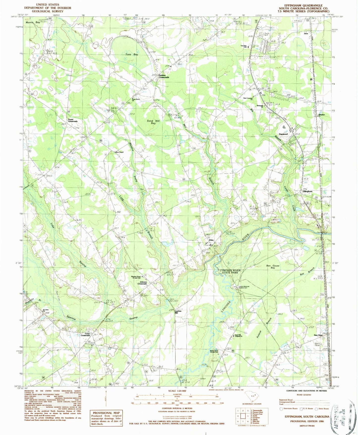
Classic USGS Effingham South Carolina 7.5'x7.5' Topo Map
Couldn't load pickup availability
Historical USGS topographic quad map of Effingham in the state of South Carolina. Map scale may vary for some years, but is generally around 1:24,000. Print size is approximately 24" x 27"
This quadrangle is in the following counties: Florence.
The map contains contour lines, roads, rivers, towns, and lakes. Printed on high-quality waterproof paper with UV fade-resistant inks, and shipped rolled.
Contains the following named places: Bay Branch, Ben Gause Bay, Bethesda School, Bethsadia Church, Big Branch, Blackwell Pond, Blackwell Pond Dam D-3569, Bonnair School, Calvary Pentecostal Holiness Church, Carter Creek, China Grove Church, Cusac Crossroads, Danwood, Danwood Census Designated Place, Danwood Division, Effingham, Effingham Associate Reformed Presbyterian Church, Effingham Baptist Church, Effingham Church, Effingham Post Office, Elim, Elim Baptist Church, Elim School, First Pentecostal Baptist Church, Florence County Poor Farm, Glenwood School, Hamville, Howe Springs Fire Department Station 3, Howe Springs Fire Department Station 5, Howe Springs Fire Department Station 6, Java, Johnson Crossroads, Jones Crossroads, Lake Swamp, Little Bay Branch, Long Branch, Long Branch School, Lynches Mill, Lynches River State Park, Lynchs Memorial Gardens Cemetery, Magnolia Branch, Magnolia School, Meadow Prong, Meadow Prong Cemetery, Meadow Prong Church, Mill Branch, Mossy Grove Cemetery, Mossy Grove Church, New Covenant Church, New Hope, Oak Grove School, Old Saw Mill Ferry, Peniel Crossroads, Perkins Crossroads, Piney Grove Church, Polecat Branch, Saint Lukes Church, Sand Hill Bay, Sand Hill Original Church, Sandy Hill School, Southoak Free Will Baptist Church, Sparrow Swamp, Tans Bay, Tans Bay High School, Tans Bay School, Whites Bay, Zion Chapel


