MyTopo
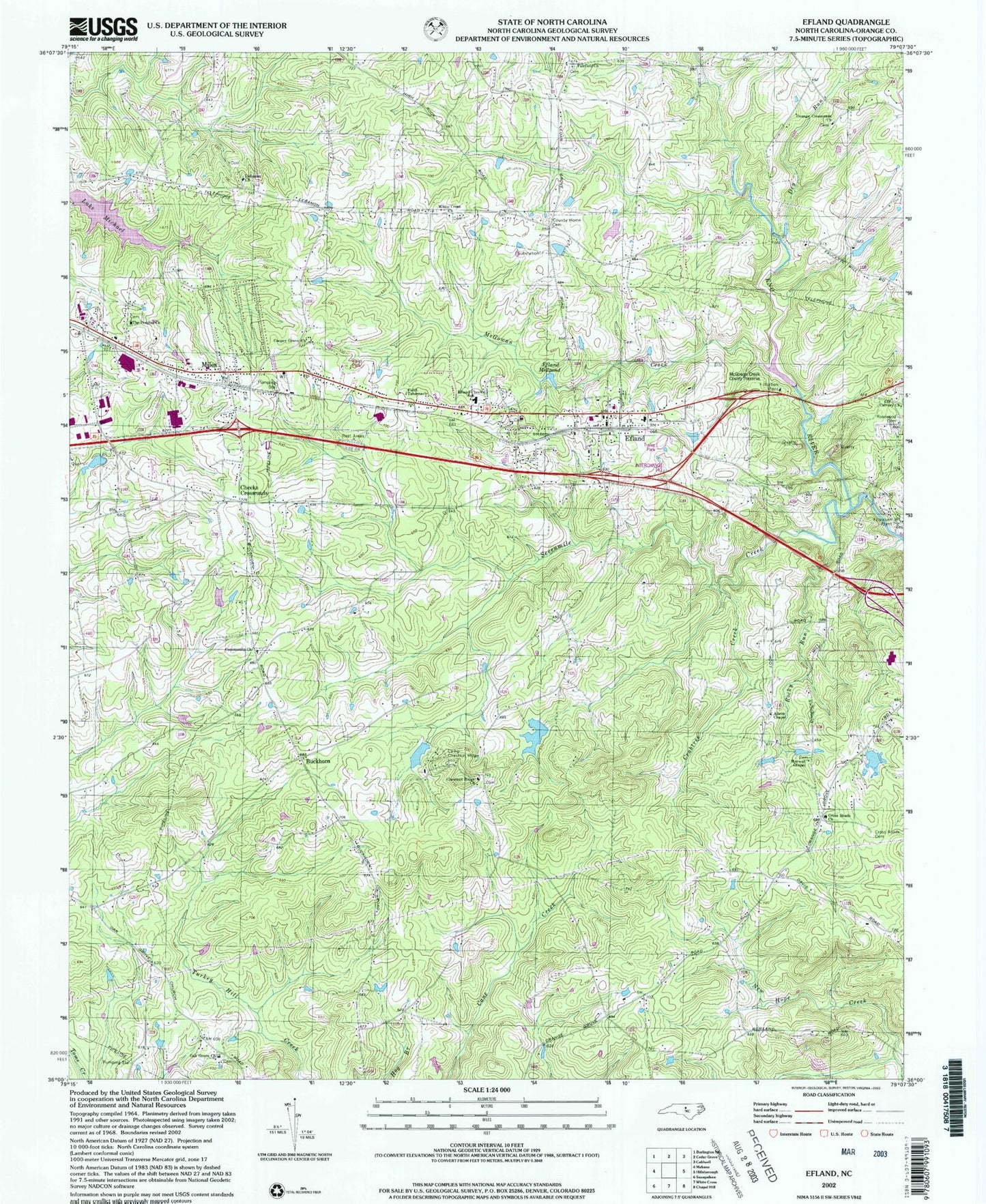
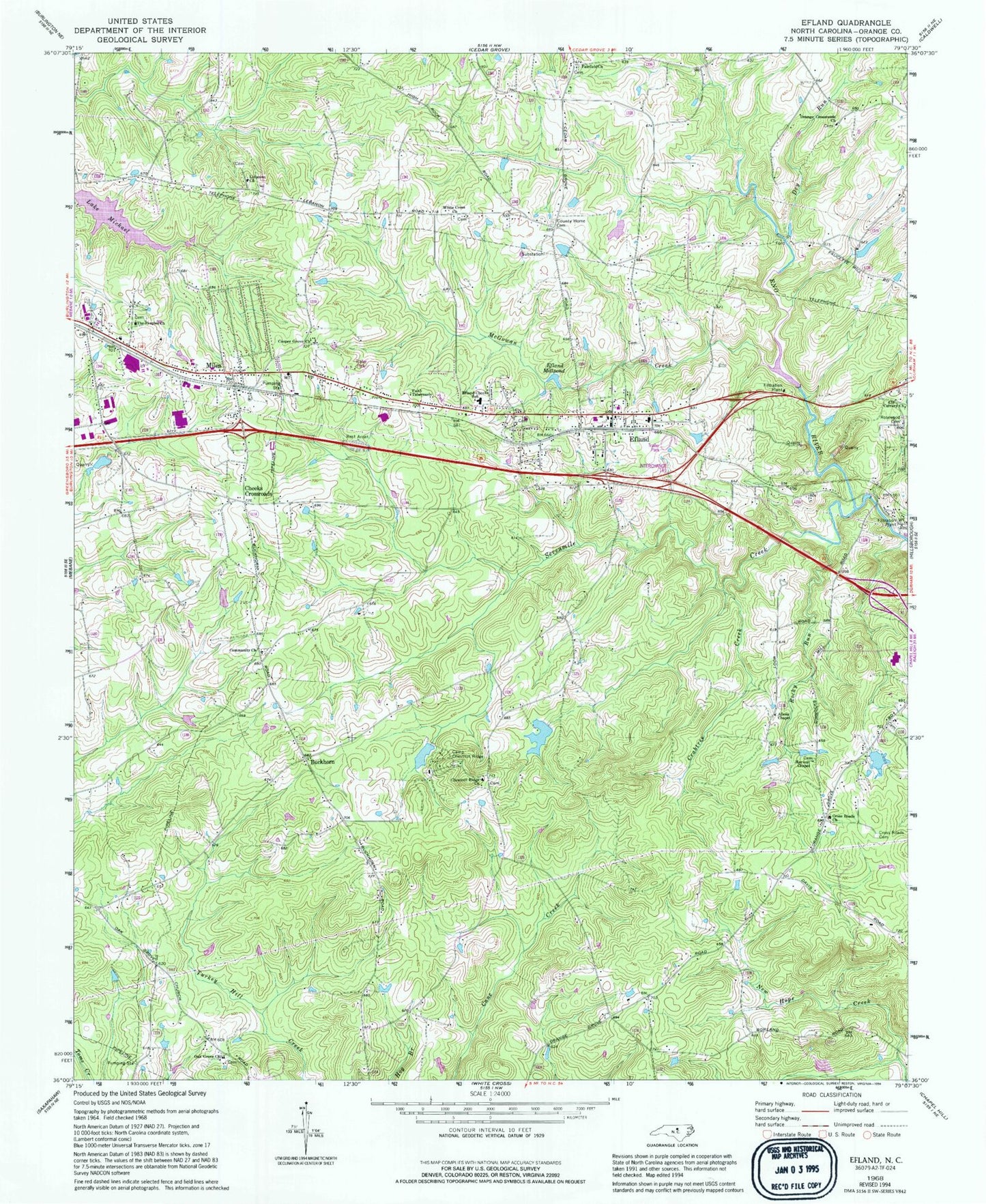
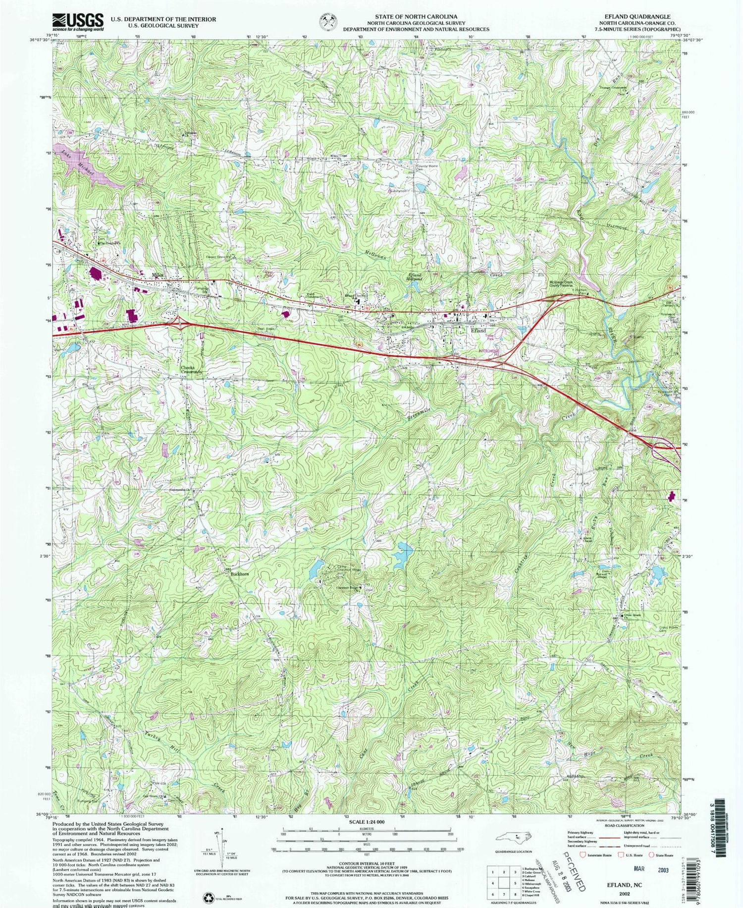
Classic USGS Efland North Carolina 7.5'x7.5' Topo Map
Couldn't load pickup availability
Historical USGS topographic quad map of Efland in the state of North Carolina. Typical map scale is 1:24,000, but may vary for certain years, if available. Print size: 24" x 27"
This quadrangle is in the following counties: Orange.
The map contains contour lines, roads, rivers, towns, and lakes. Printed on high-quality waterproof paper with UV fade-resistant inks, and shipped rolled.
Contains the following named places: Allens Chapel, Calvary Church, Camp Chestnut Ridge, Chestnut Ridge Church, Cooper Grove Church, County Home Cemetery, Crabtree Creek, Cross Roads Cemetery, Cross Roads Church, Crystal Lake, Dry Run, Efland, Efland-Cheeks School, Fairfield Church, Faith Tabernacle, Harvest Chapel, Lebanon Church, McGowan Creek, Lake Michael, Miles, Oak Grove Church, Orange Crossroads Church, Rocky Run, Rosewood Cemetery, Sevenmile Creek, The Peoples Church, White Cross Church, Masons Pond, Rivins Lake Dam, Fellowship Lake Dam, Smiths Lake Dam, Orange-Alamance Lake Dam, Orange-Alamance Lake, Lake Michael, Lake Michael Dam, Garland Acres, Sunset Ridge, Holly Meadows, Perry Hills, Jordan Oak, Stagecoach Forest, Sugar Ridge, Seven Mills Farms, Flying Elephant Ranch, Cheeks Crossroads, Township of Cheeks, Efland Census Designated Place, Efland Volunteer Fire Department, Larry F Warren Field, Efland Post Office


