MyTopo
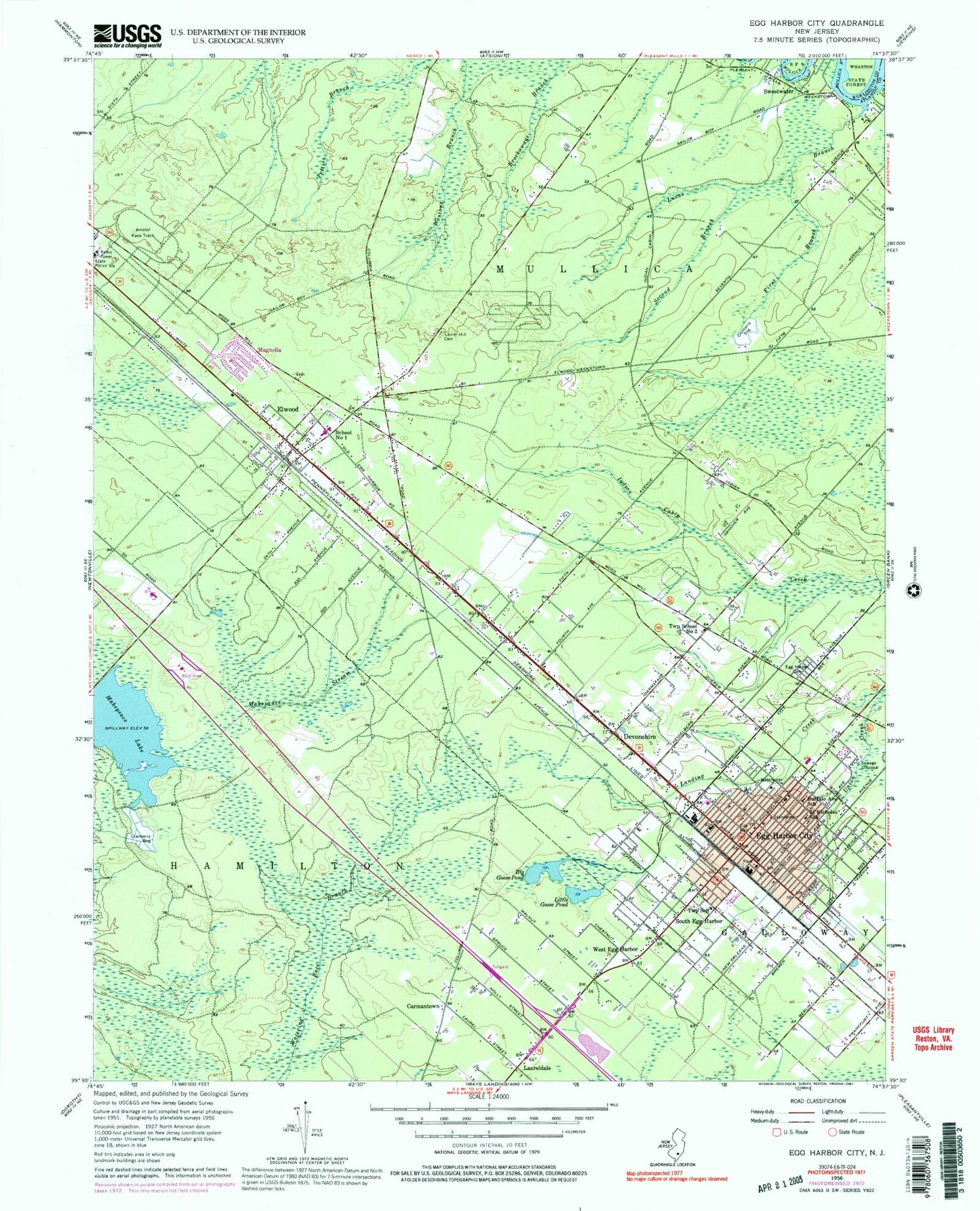
Classic USGS Egg Harbor City New Jersey 7.5'x7.5' Topo Map
Couldn't load pickup availability
Historical USGS topographic quad map of Egg Harbor City in the state of New Jersey. Map scale may vary for some years, but is generally around 1:24,000. Print size is approximately 24" x 27"
This quadrangle is in the following counties: Atlantic, Burlington.
The map contains contour lines, roads, rivers, towns, and lakes. Printed on high-quality waterproof paper with UV fade-resistant inks, and shipped rolled.
Contains the following named places: Amotol Race Track, Atlantic County Youth Detention Center - Harborfields, Big Goose Pond, Buffalo Avenue School, Carmantown, Devonshire, Egg Harbor Cemetery, Egg Harbor City, Egg Harbor City Ambulance Service, Egg Harbor City Police Department, Egg Harbor City Post Office, Egg Harbor City Volunteer Fire Department, Elwood, Elwood Census Designated Place, Elwood Post Office, Elwood Volunteer Fire Company Station 160, Fanny D Rittenberg Elementary School, First Branch, Galloway Township Fire Department South Egg Harbor Volunteer Fire Company, Laurel Hill Cemetery, Laureldale Volunteer Fire and Rescue Company, Little Goose Pond, Lucas Branch, Magnolia, Makepeace Lake, Makepeace Stream, Mullica Landing Airport, Mullica Township Middle School, Mullica Township Police Department, Mullica Township Rescue, New Jersey State Police Troop A Atlantic City Expressway Station, Saint Nicholas School, School Number 1, Second Branch, Shady Brook Farm, South Egg Harbor, Sweetwater Census Designated Place, Sweetwater Volunteer Fire Company Station 163, Township of Mullica, West Egg Harbor, WRDR-FM (Egg Harbor City), ZIP Code: 08217