MyTopo
Classic USGS Egypt Texas 7.5'x7.5' Topo Map
Regular price
$16.95
Regular price
Sale price
$16.95
Unit price
per
Couldn't load pickup availability
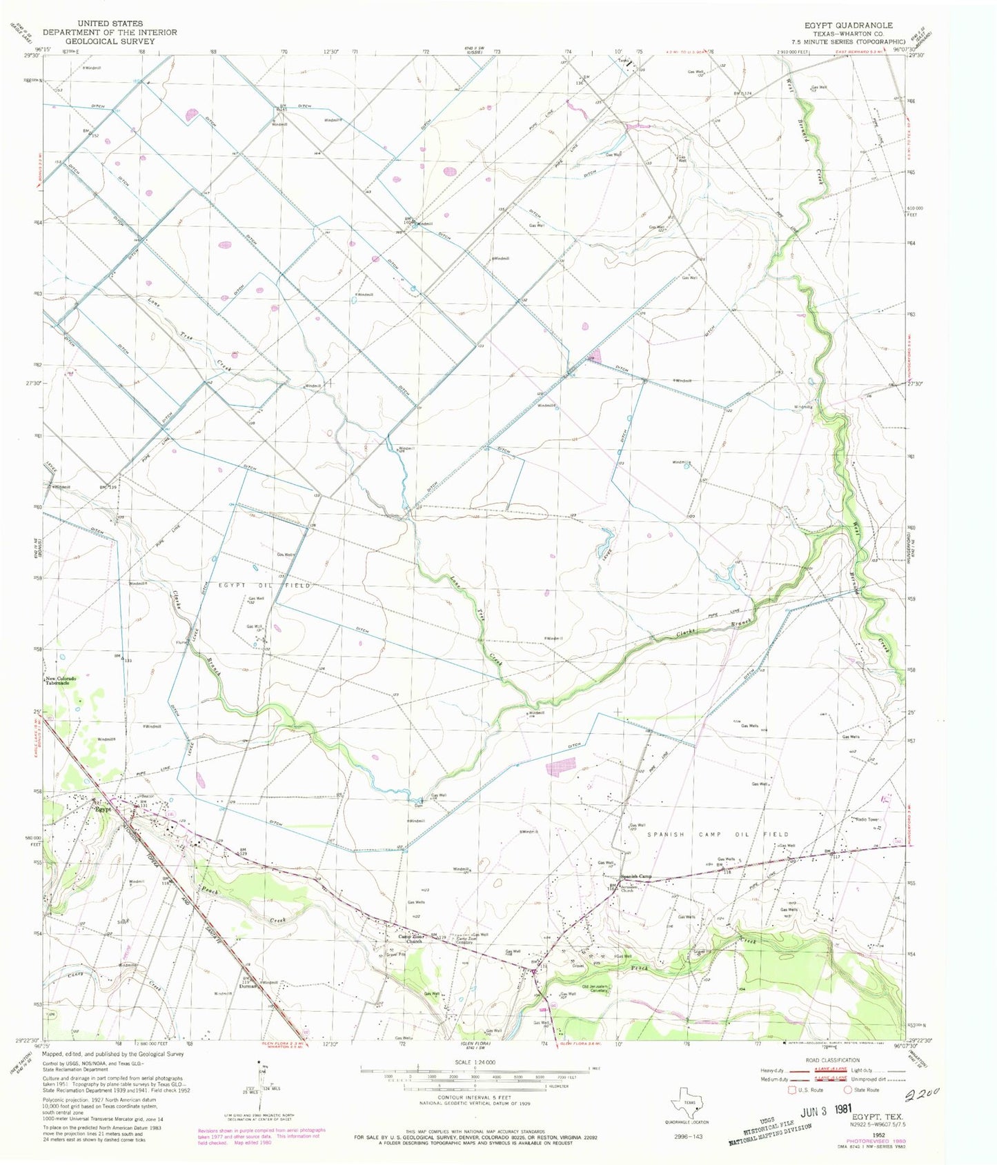
Historical USGS topographic quad map of Egypt in the state of Texas. Map scale may vary for some years, but is generally around 1:24,000. Print size is approximately 24" x 27"
This quadrangle is in the following counties: Wharton.
The map contains contour lines, roads, rivers, towns, and lakes. Printed on high-quality waterproof paper with UV fade-resistant inks, and shipped rolled.
Contains the following named places: Camp Zion Cemetery, Camp Zion Church, Clarks Branch, Dorman, East Bernard Division, Egypt, Egypt Oil Field, Egypt Plantation Museum, Egypt Post Office, Jerusalem Church, Lone Tree Creek, New Colorado Tabernacle, Old Jerusalem Cemetery, Spanish Camp, Spanish Camp Oil Field, ZIP Code: 77436