

MyTopo
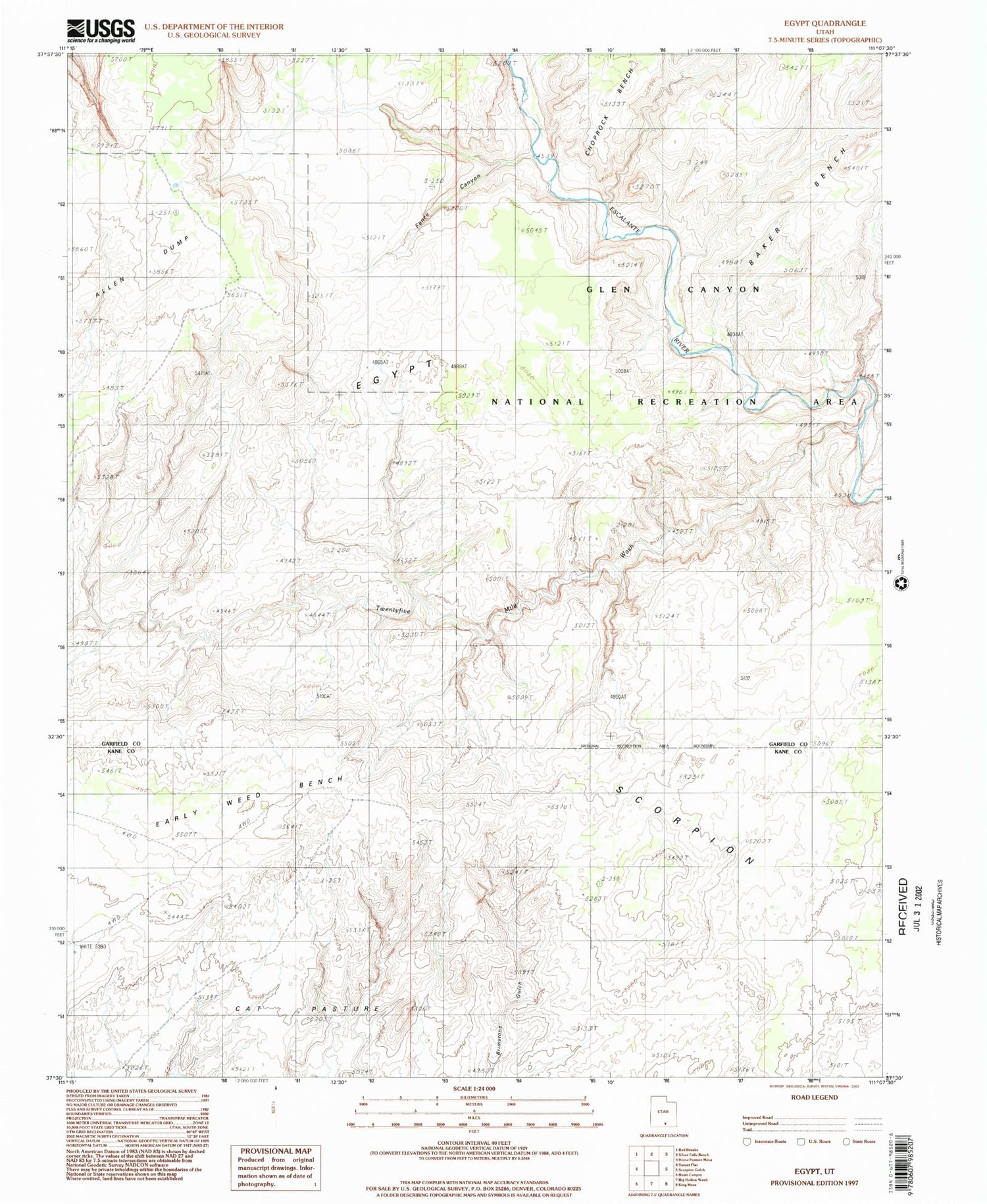
USGS Classic Egypt Utah 7.5'x7.5' Topo Map
Regular price
$16.95
Regular price
Sale price
$16.95
Unit price
per
Couldn't load pickup availability
Historical USGS topographic quad map of Egypt in the state of Utah. Scale: 1:24000. Print size: 24" x 27"
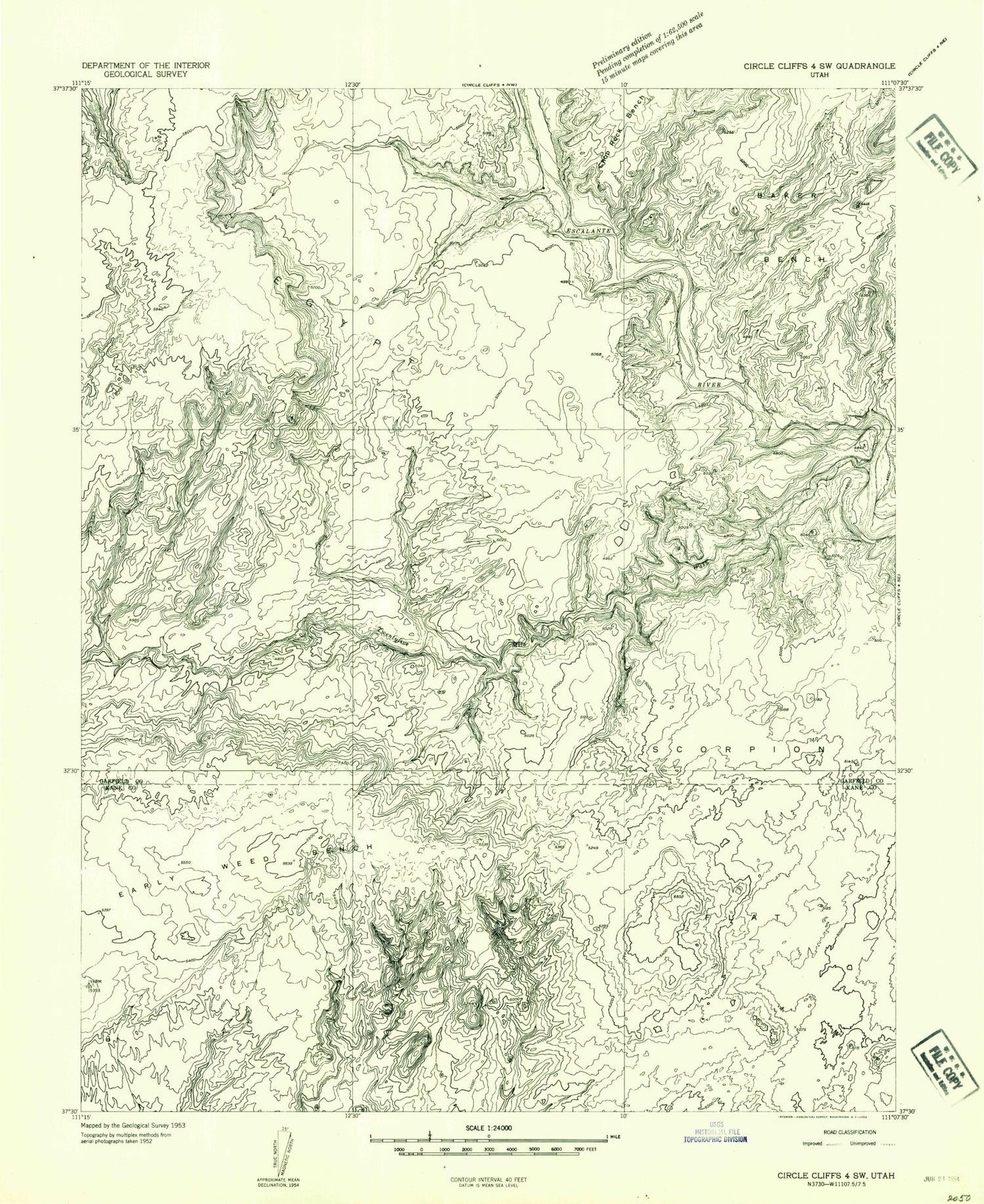
This quadrangle is in the following counties: Garfield, Kane.
The map contains contour lines, roads, rivers, towns, lakes, and grids including latitude / longitude and UTM / MGRS. Printed on high-quality waterproof paper with UV fade-resistant inks.
Contains the following named places: Choprock Bench, Early Weed Bench, Egypt, Twentyfive Mile Wash, Fence Canyon


