MyTopo
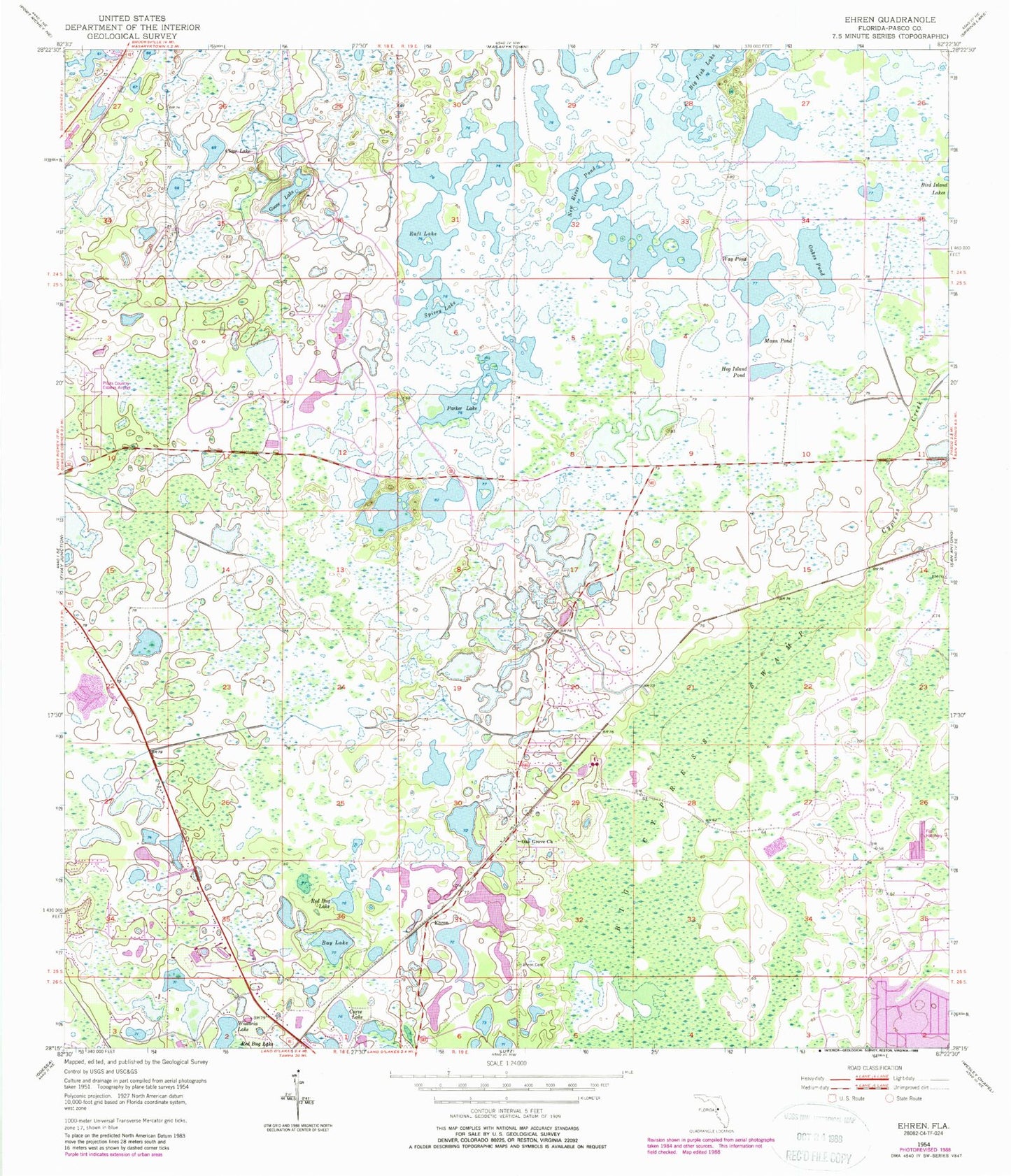
Classic USGS Ehren Florida 7.5'x7.5' Topo Map
Couldn't load pickup availability
Historical USGS topographic quad map of Ehren in the state of Florida. Typical map scale is 1:24,000, but may vary for certain years, if available. Print size: 24" x 27"
This quadrangle is in the following counties: Pasco.
The map contains contour lines, roads, rivers, towns, and lakes. Printed on high-quality waterproof paper with UV fade-resistant inks, and shipped rolled.
Contains the following named places: Bay Lake, Big Cypress Swamp, Big Fish Lake, Curve Lake, Cypress Creek, Goose Lake, Hog Island Pond, Mann Pond, New River Pond, Oak Grove Church, Oakes Pond, Parker Lake, Red Bug Lake, Spivey Lake, Way Pond, Wistaria Lake, Raft Lake, Clear Lake, Ehren, Pilot Country Airport, Pasco County Fire Rescue Station 22, Pasco County Sheriff's Office Court Services Bureau, Thomas E Weightman Middle School, Connerton Census Designated Place, Pasco County Land O' Lakes Detention Center