MyTopo
Classic USGS El Dado New Mexico 7.5'x7.5' Topo Map
Couldn't load pickup availability
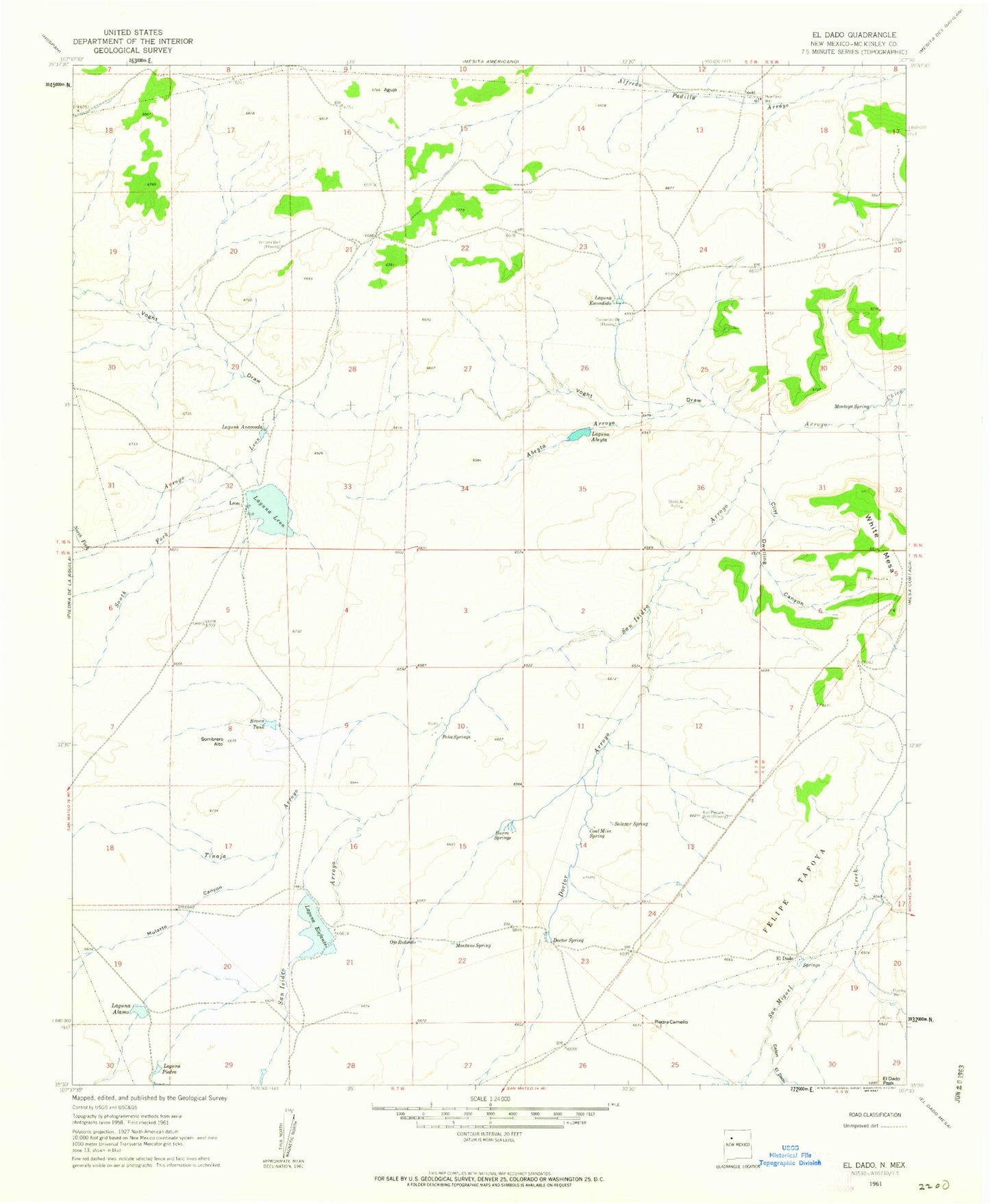
Historical USGS topographic quad map of El Dado in the state of New Mexico. Map scale may vary for some years, but is generally around 1:24,000. Print size is approximately 24" x 27"
This quadrangle is in the following counties: McKinley.
The map contains contour lines, roads, rivers, towns, and lakes. Printed on high-quality waterproof paper with UV fade-resistant inks, and shipped rolled.
Contains the following named places: Abeyta Arroyo, Aguja, Arroyo Leon, Arroyo Tinaja, Brown Tank, Bull Pasture Well, Burro Springs, Canon del Dado, Cliff Dwelling Canyon, Cliff House, Coal Mine Spring, Doctor Arroyo, Doctor Spring, El Dado, El Dado Spring, Escondido Well, Felipe Tafoya Grant, Huerfano Well, Laguna Abeyta, Laguna Alamo, Laguna Anaconda, Laguna Elefante, Laguna Escondido, Laguna Leon, Laguna Piedra, Leon, Leon Post Office, Montano Spring, Montoya Spring, Mulatto Canyon, North Fork Arroyo Leon, Ojo Redondo, Pena Springs, Piedra Camello, Salazar Spring, San Isidro Arroyo, San Ysidro Spring, Sombrero Alto, South Fork Arroyo Leon, Stone A Ruins, Ventana Well, Voght Draw