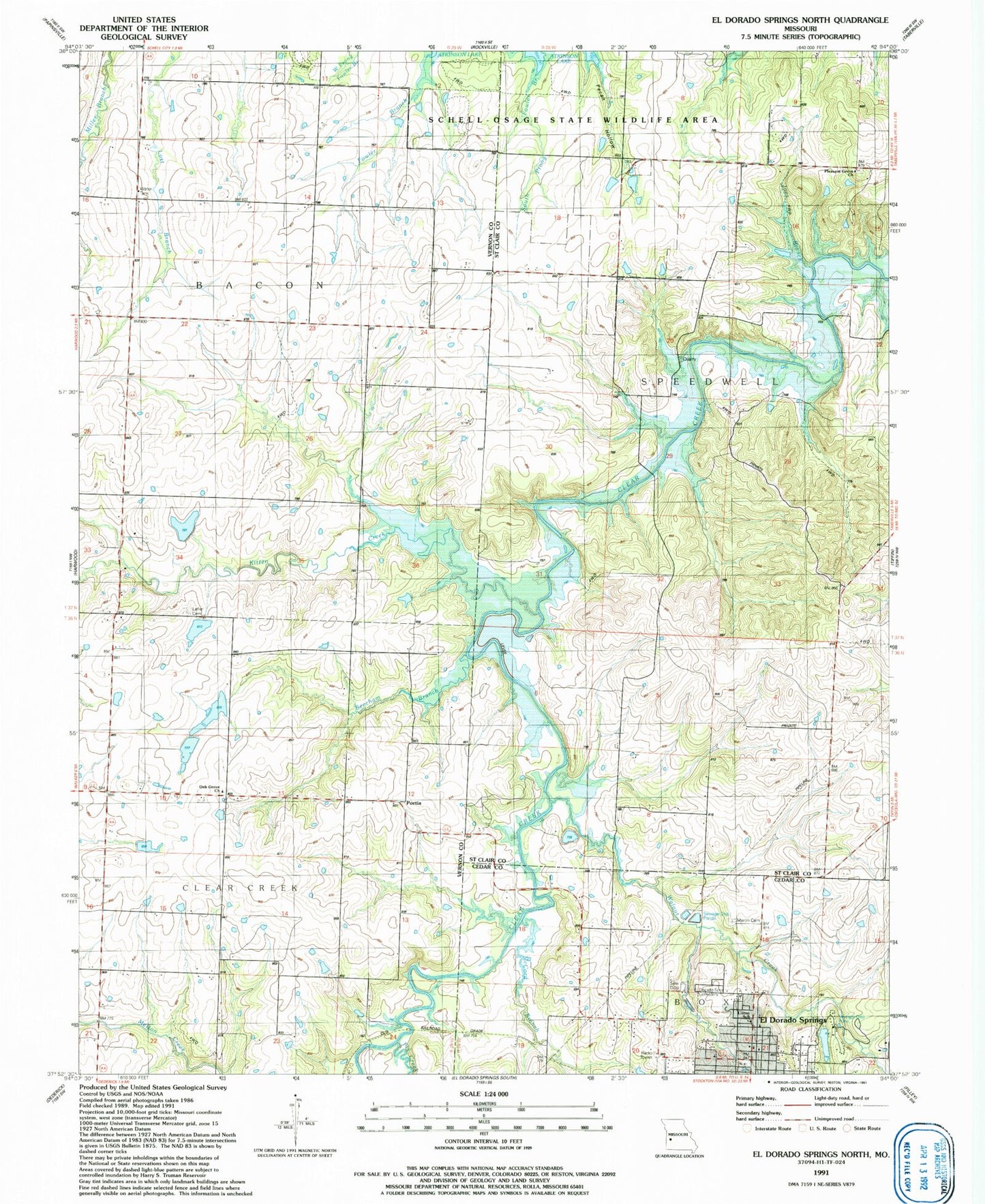
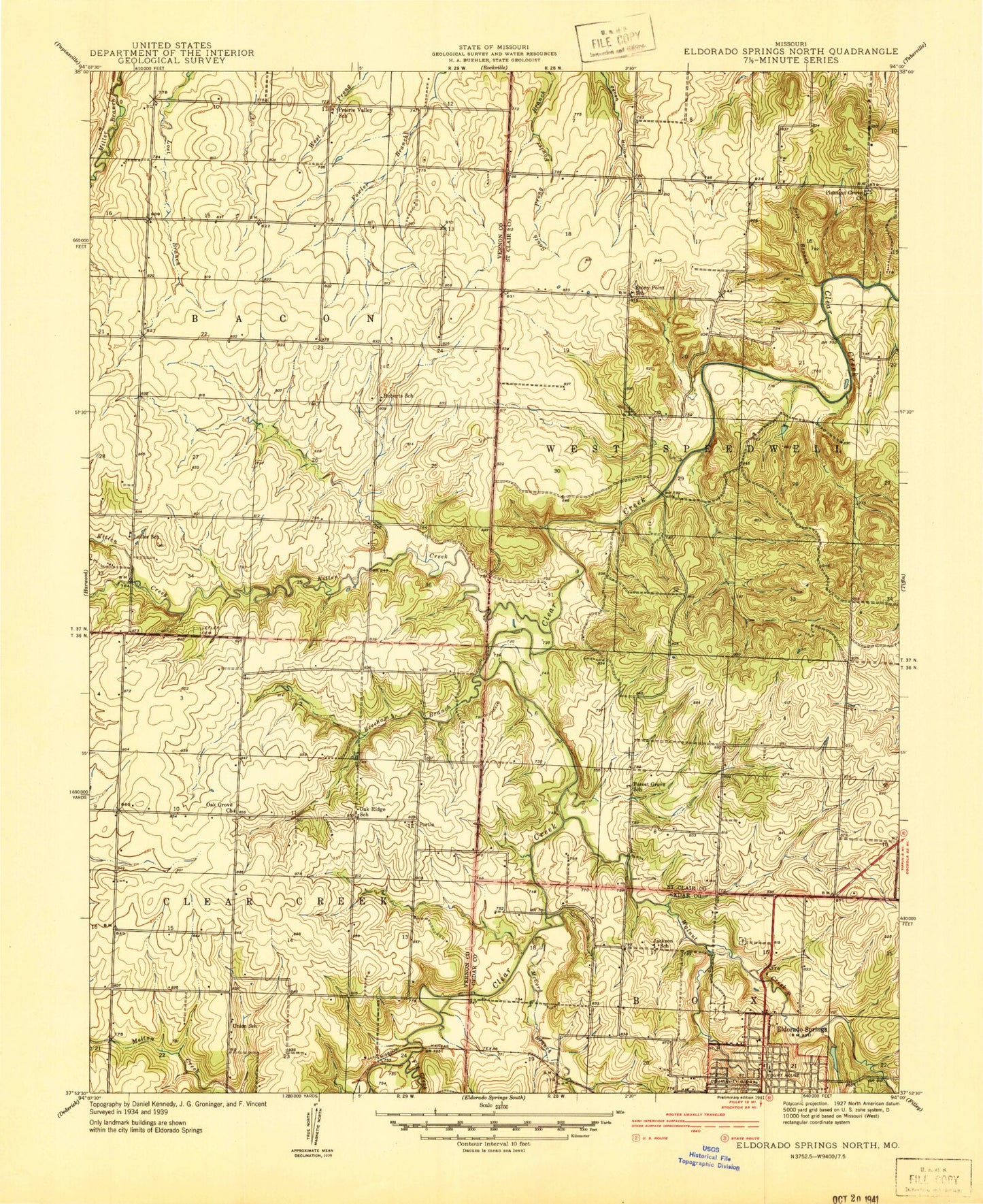
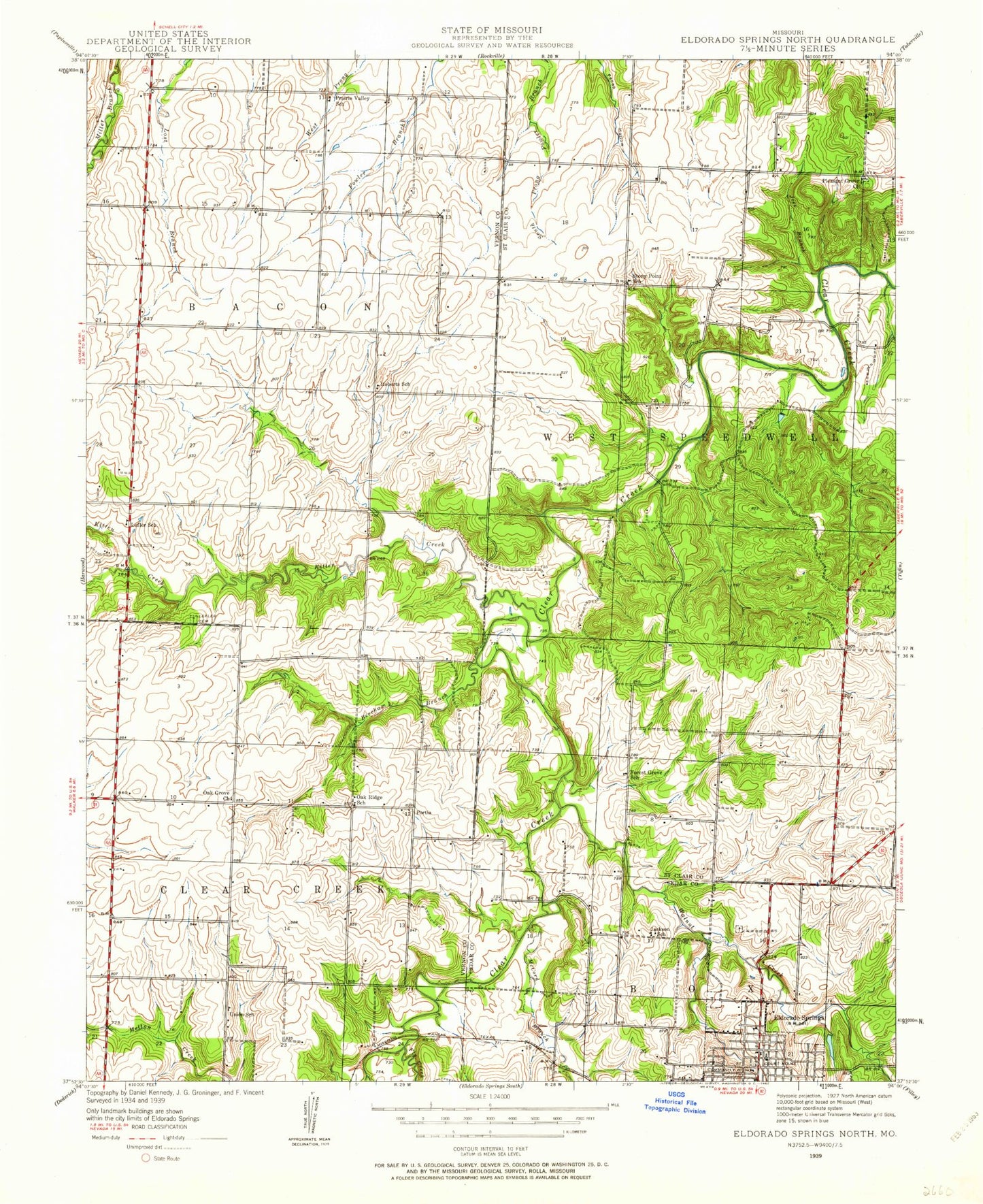
MyTopo
Classic USGS El Dorado Springs North Missouri 7.5'x7.5' Topo Map
Couldn't load pickup availability
Historical USGS topographic quad map of El Dorado Springs North in the state of Missouri. Map scale may vary for some years, but is generally around 1:24,000. Print size is approximately 24" x 27"
This quadrangle is in the following counties: Cedar, St. Clair, Vernon.
The map contains contour lines, roads, rivers, towns, and lakes. Printed on high-quality waterproof paper with UV fade-resistant inks, and shipped rolled.
Contains the following named places: Beard Lake Dam, Beecham Branch, Camp Galilee, Donia, Donia Post Office, El Dorado Springs, El Dorado Springs Cemetery, El Dorado Springs City Park, Floyd Hines Dam, Floyd Hines Lake, Fly Creek, Forest Grove School, Hines Lake Section 10 Dam, Hines Section 3 North Dam, Hines Section 3 South Lake Dam, Jackson School, Joes Branch, Kitten Creek, Lefler Cemetery, Lefler School, Liston School, Martin Cemetery, McCord Branch, Oak Grove Church, Oak Ridge School, Pleasant Grove Church, Portia, Prairie Valley School, Roberts School, Stony Point School, Township of Bacon, Township of Clear Creek, Township of West Speedwell, Union School, Walnut Creek, West Eldorado, ZIP Code: 64750