MyTopo
Classic USGS El Indio Texas 7.5'x7.5' Topo Map
Regular price
$16.95
Regular price
Sale price
$16.95
Unit price
per
Couldn't load pickup availability
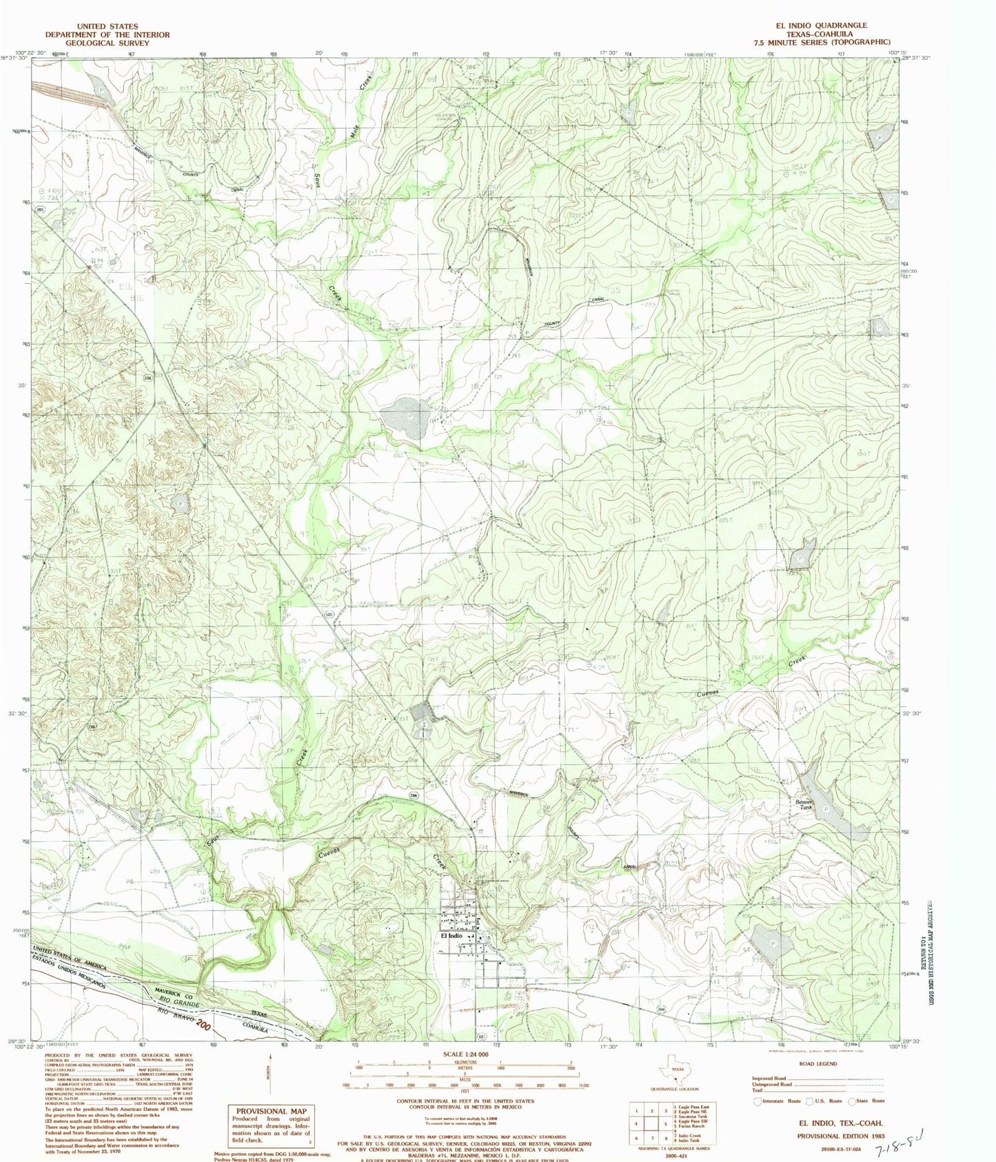
Historical USGS topographic quad map of El Indio in the state of Texas. Map scale may vary for some years, but is generally around 1:24,000. Print size is approximately 24" x 27"
This quadrangle is in the following counties: Maverick.
The map contains contour lines, roads, rivers, towns, and lakes. Printed on high-quality waterproof paper with UV fade-resistant inks, and shipped rolled.
Contains the following named places: Beaver Tank, Cuevas Creek, El Indio, El Indio Census Designated Place, El Indio Post Office, Halsell Lake Number 2, Halsell Lake Number 2 Dam, Milton Frank Farms, Mule Creek, Saus Creek, Sullivan Ranch, Winship Lake Number 2 Dam