MyTopo
Classic USGS El Nido California 7.5'x7.5' Topo Map
Couldn't load pickup availability
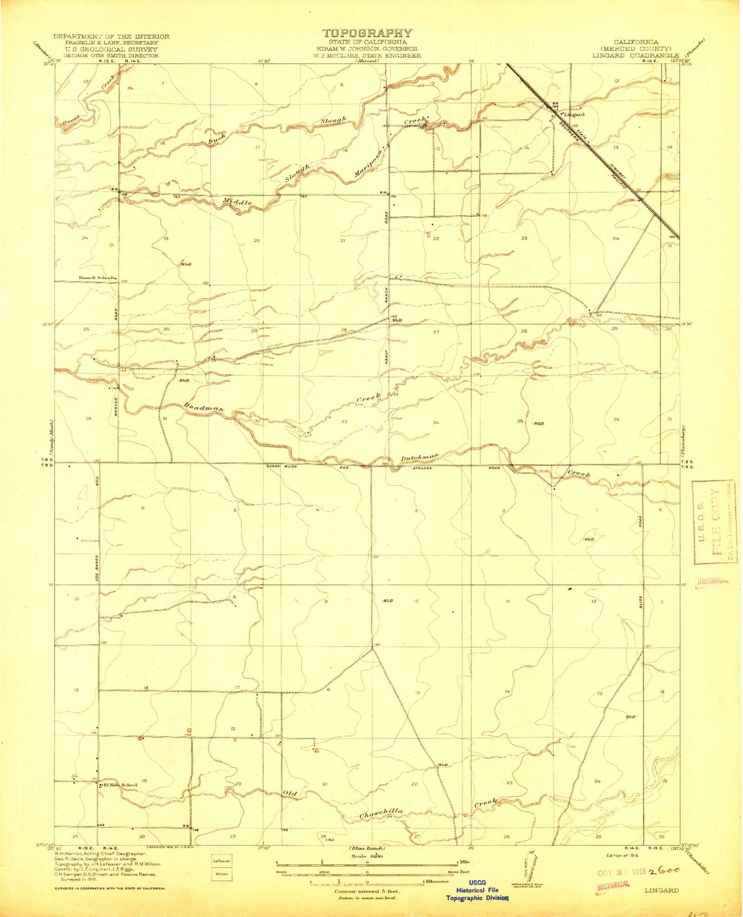
Historical USGS topographic quad map of El Nido in the state of California. Map scale may vary for some years, but is generally around 1:24,000. Print size is approximately 24" x 27"
This quadrangle is in the following counties: Merced.
The map contains contour lines, roads, rivers, towns, and lakes. Printed on high-quality waterproof paper with UV fade-resistant inks, and shipped rolled.
Contains the following named places: 59 Ranch Airport, Double D Dairy, Dutchman Creek, El Nido, El Nido Canal, El Nido Census Designated Place, El Nido Elementary School, El Nido Missionary Baptist Church, El Nido Post Office, El Nido Reservoir, Five H Farms, Hoogendam Dairy, Lateral Five, Lateral Four, Lingard, Merced County Fire Department El Nido Fire Station 83, North Slough Mariposa Creek, Old Chowchilla Creek, O'Neill Dam, Rock - Shar Dairy, Russel Lateral, Russell School, South Slough, Tetzlaff Lateral, V and R Dairy, Vista Verde Dairy