MyTopo
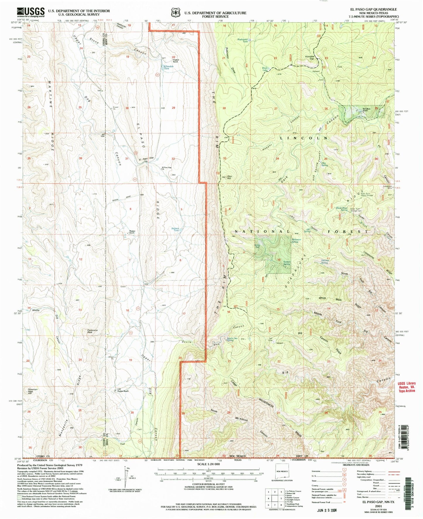
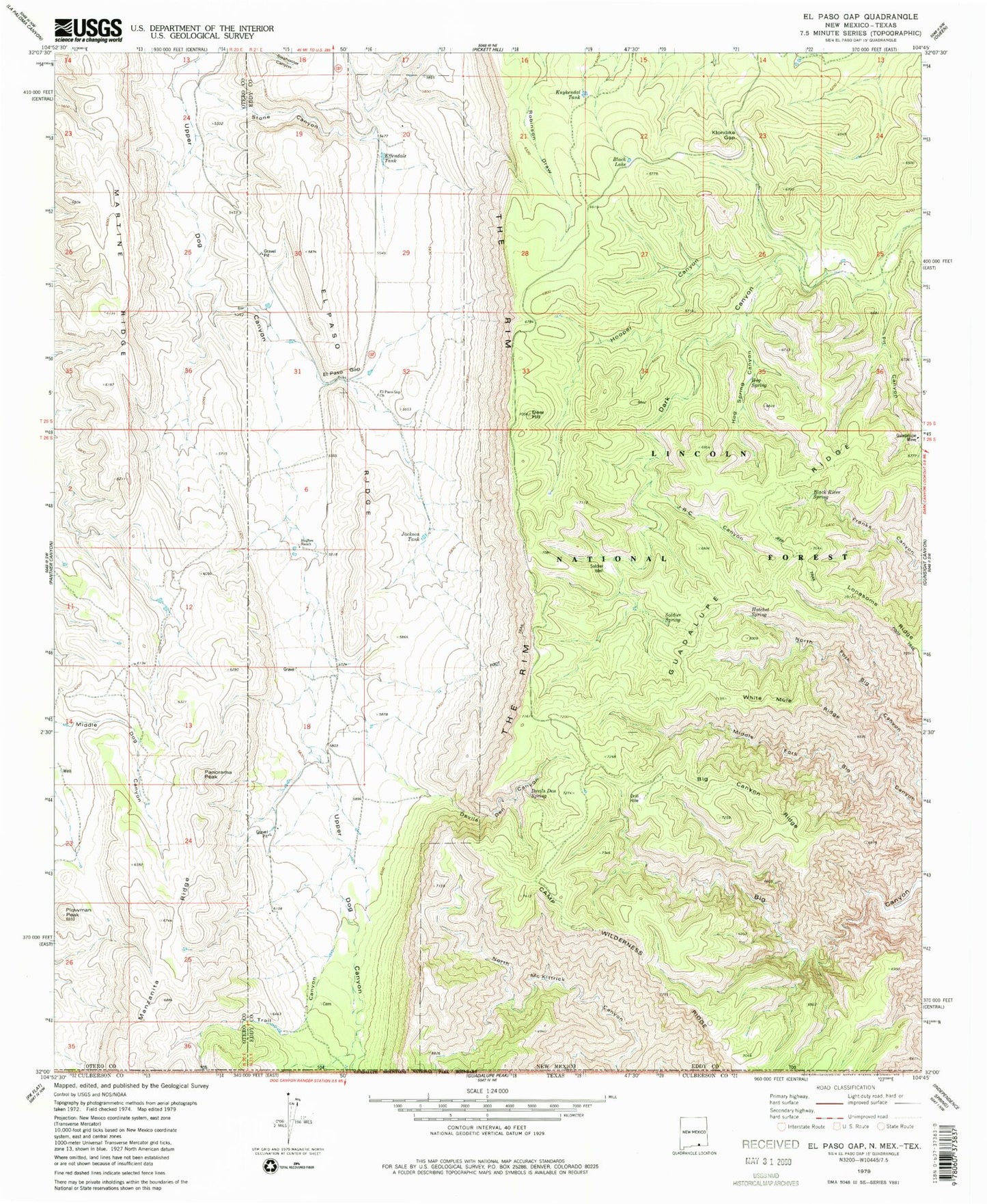
Classic USGS El Paso Gap New Mexico 7.5'x7.5' Topo Map
Couldn't load pickup availability
Historical USGS topographic quad map of El Paso Gap in the state of New Mexico. Typical map scale is 1:24,000, but may vary for certain years, if available. Print size: 24" x 27"
This quadrangle is in the following counties: Culberson, Eddy, Otero.
The map contains contour lines, roads, rivers, towns, and lakes. Printed on high-quality waterproof paper with UV fade-resistant inks, and shipped rolled.
Contains the following named places: McCollum Ranch, Black River Storage Tank, Midwater Spring, Hughes Ranch, Dirt Tank, Helper Ranch (historical), Hughes Ranch, Big Canyon Ridge, Black Lake, Black River Spring, Camp Wilderness Ridge, Deer Hill, Devils Den Canyon, Devils Den Spring, Effendale Tank, El Paso Gap, El Paso Gap Church, El Paso Ridge, Fir Canyon, Guadalupe Mine, Guadalupe Ridge, Hatchet Spring, Hog Spring, Hog Spring Canyon, Hooper Canyon, Hughes Ranch, JRC Canyon, Jackson Tank, Klondike Gap, Kuykendal Tank, Lonesome Ridge, Manzanita Ridge, Martine Ridge, Panorama Peak, Plowman Peak, Soldier Spring, Soldier Well, Stone Canyon, White Mule Ridge, Black River Water Storage, Guadalupe Escarpment Wilderness Study Area, Devils Den Canyon Wilderness Study Area, McKittrick Canyon Wilderness Study Area, Hollan Tank, Owens Tank, Shattuck Valley, Monzarita Tank, Todd Tank, Magby Ranch, El Paso Gap Post Office (historical), Camp Wilderness Ridge, Trail Canyon, JRC Spring, Upper McKittrick Canyon Research Natural Area, DeMoss Cemetery


