MyTopo
Classic USGS El Paso Wisconsin 7.5'x7.5' Topo Map
Couldn't load pickup availability
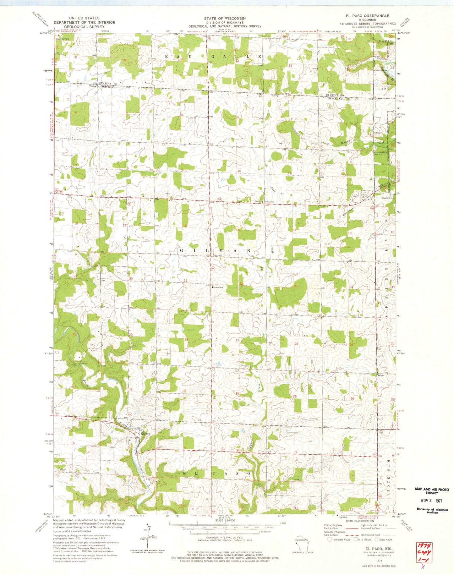
Historical USGS topographic quad map of El Paso in the state of Wisconsin. Map scale may vary for some years, but is generally around 1:24,000. Print size is approximately 24" x 27"
This quadrangle is in the following counties: Pierce, St. Croix.
The map contains contour lines, roads, rivers, towns, and lakes. Printed on high-quality waterproof paper with UV fade-resistant inks, and shipped rolled.
Contains the following named places: El Paso, Gilman Center School, Gilman Lutheran Cemetery, Gilman Lutheran Church, Gilman School, Gilman Townhall, Locust Grove School, Lone Balsam School, Maple Leaf Orchard, Mines School, Olivet, Peniel Christian School, Sacred Heart Cemetery, Saint Josephs Catholic Cemetery, Saint Josephs Catholic Church, South Hill School, Spring Valley High School, Spring Valley Middle School, Town of Gilman, Viking, Wildwood School, Wood School, ZIP Code: 54767