MyTopo
Classic USGS El Portal California 7.5'x7.5' Topo Map
Couldn't load pickup availability
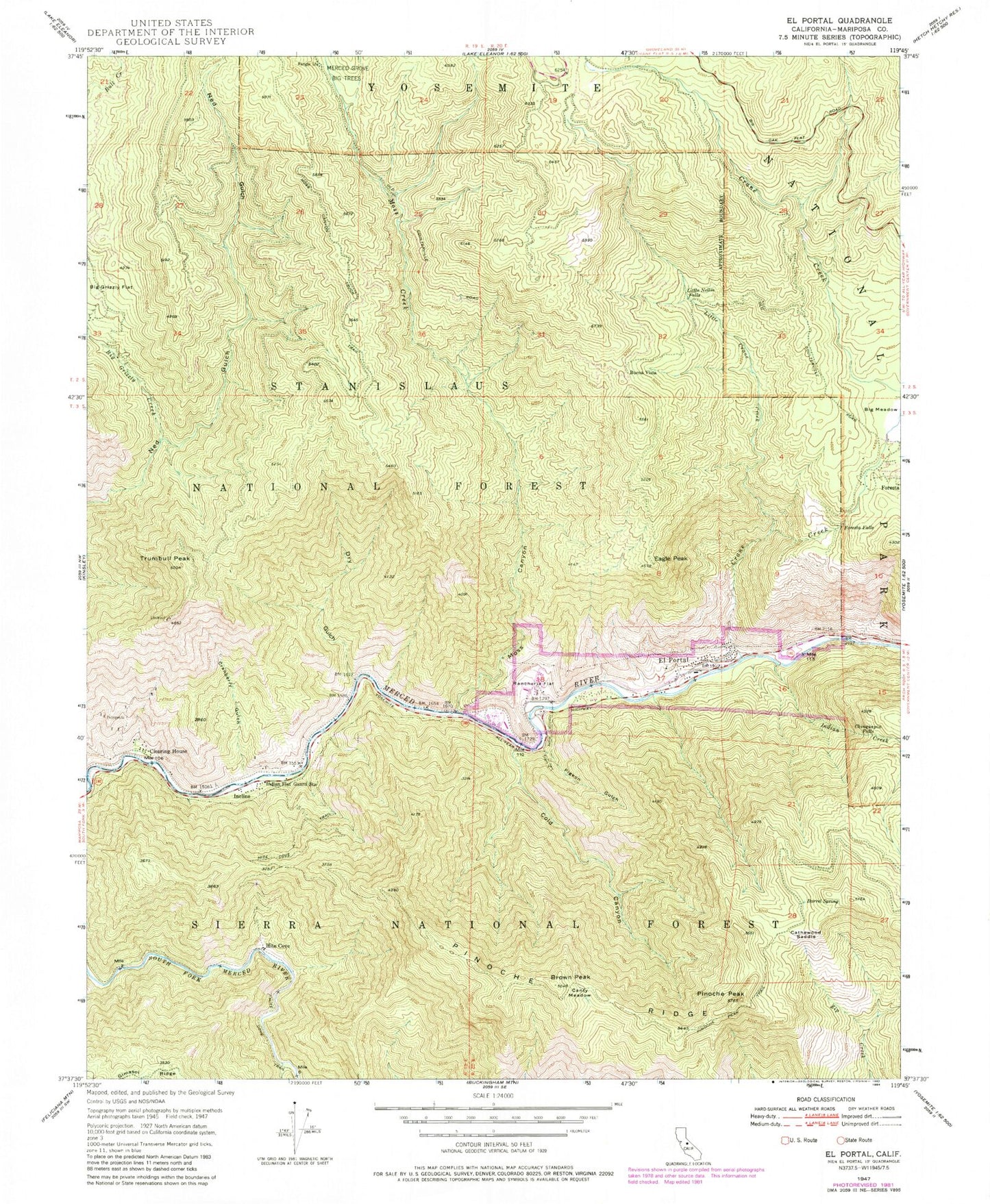
Historical USGS topographic quad map of El Portal in the state of California. Typical map scale is 1:24,000, but may vary for certain years, if available. Print size: 24" x 27"
This quadrangle is in the following counties: Mariposa.
The map contains contour lines, roads, rivers, towns, and lakes. Printed on high-quality waterproof paper with UV fade-resistant inks, and shipped rolled.
Contains the following named places: Rancheria Flat, Henness Branch, Barrel Spring, Big Grizzly Creek, Brown Peak, Canty Meadow, Cathewood Saddle, Chinquapin Falls, Cold Canyon, Cranberry Gulch, Crane Creek, Eagle Peak, El Portal, Foresta, Foresta Falls, Indian Creek, Indian Flat Guard Station, Little Crane Creek, Little Nellie Falls, Merced Grove, Pigeon Gulch, Pinoche Peak, Pinoche Peak Trail, Pinoche Ridge, Big Meadow, Dry Gulch, Moss Creek, Nutmeg Gulch, Trumbull Peak, Trumbull Lookout, Indian Flat Campground, Redbud Picnic Area, Twin Bridges, Buena Vista, Clearing House, Hite Cove, Incline, El Portal Community Hall, El Portal Elementary School, El Portal Park, El Portal Post Office, Hetch Hetchy Railroad Museum, Moss Canyon, El Portal Census Designated Place, Rancheria Flat, Henness Branch, Barrel Spring, Big Grizzly Creek, Brown Peak, Canty Meadow, Cathewood Saddle, Chinquapin Falls, Cold Canyon, Cranberry Gulch, Crane Creek, Eagle Peak, El Portal, Foresta, Foresta Falls, Indian Creek, Indian Flat Guard Station, Little Crane Creek, Little Nellie Falls, Merced Grove, Pigeon Gulch, Pinoche Peak, Pinoche Peak Trail, Pinoche Ridge, Big Meadow, Dry Gulch, Moss Creek, Nutmeg Gulch, Trumbull Peak, Trumbull Lookout, Indian Flat Campground, Redbud Picnic Area, Twin Bridges, Buena Vista, Clearing House, Hite Cove, Incline, El Portal Community Hall, El Portal Elementary School, El Portal Park, El Portal Post Office, Hetch Hetchy Railroad Museum, Moss Canyon, El Portal Census Designated Place, Rancheria Flat, Henness Branch, Barrel Spring, Big Grizzly Creek, Brown Peak, Canty Meadow, Cathewood Saddle, Chinquapin Falls, Cold Canyon, Cranberry Gulch, Crane Creek, Eagle Peak, El Portal, Foresta, Foresta Falls, Indian Creek, Indian Flat Guard Station, Little Crane Creek, Little Nellie Falls, Merced Grove, Pigeon Gulch, Pinoche Peak, Pinoche Peak Trail, Pinoche Ridge, Big Meadow, Dry Gulch, Moss Creek, Nutmeg Gulch, Trumbull Peak, Trumbull Lookout, Indian Flat Campground, Redbud Picnic Area, Twin Bridges, Buena Vista, Clearing House, Hite Cove, Incline, El Portal Community Hall, El Portal Elementary School, El Portal Park, El Portal Post Office, Hetch Hetchy Railroad Museum, Moss Canyon, El Portal Census Designated Place


