MyTopo
Classic USGS El Rico Ranch California 7.5'x7.5' Topo Map
Regular price
$16.95
Regular price
Sale price
$16.95
Unit price
per
Couldn't load pickup availability
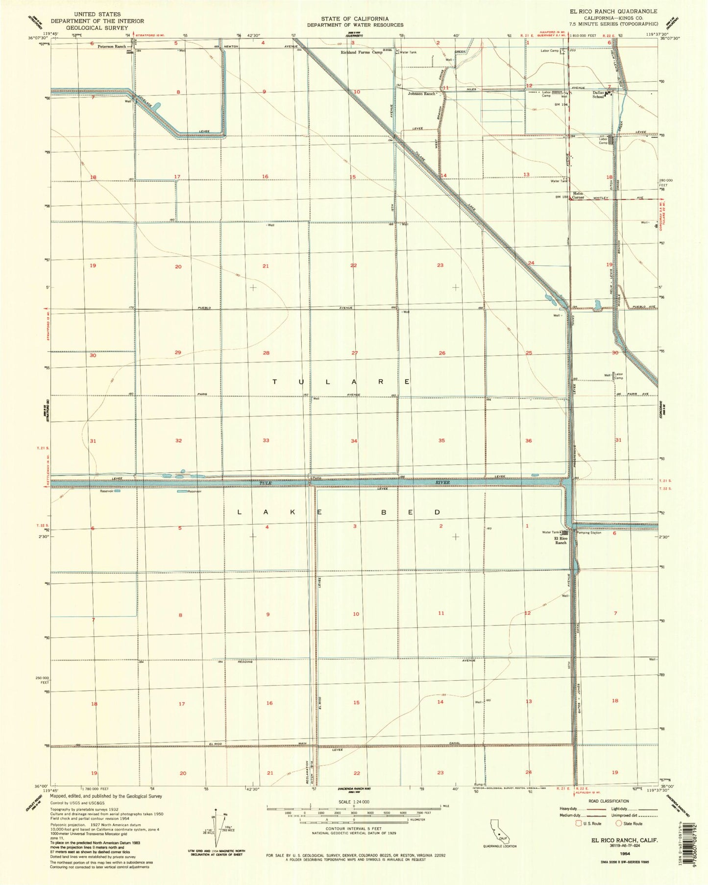
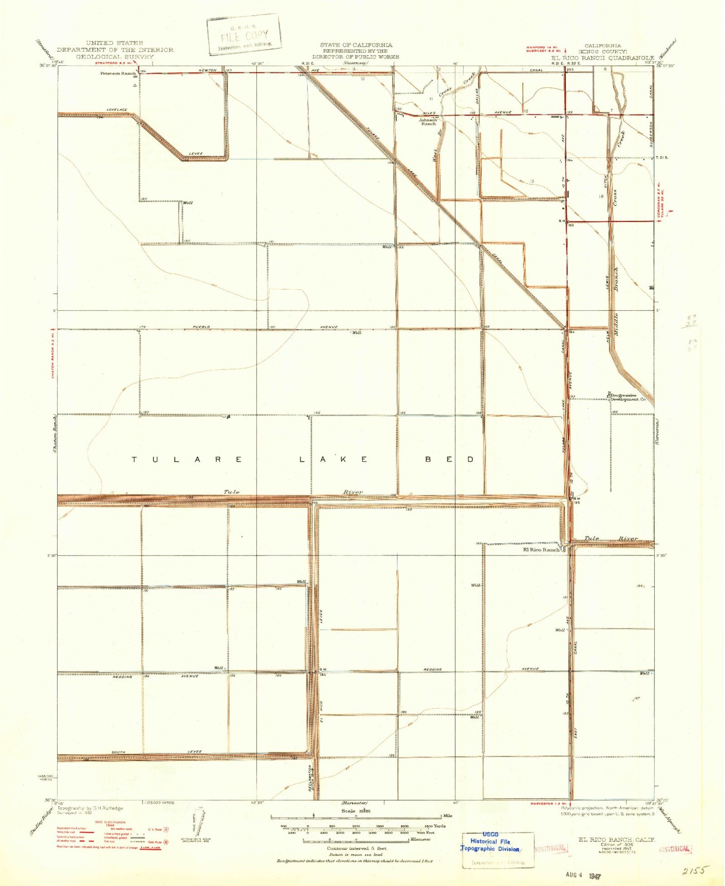
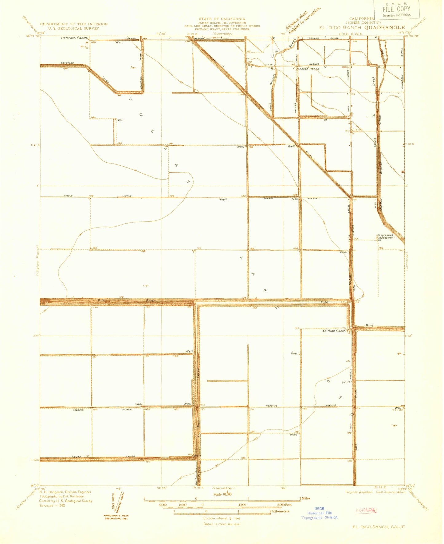
Historical USGS topographic quad map of El Rico Ranch in the state of California. Map scale may vary for some years, but is generally around 1:24,000. Print size is approximately 24" x 27"
This quadrangle is in the following counties: Kings.
The map contains contour lines, roads, rivers, towns, and lakes. Printed on high-quality waterproof paper with UV fade-resistant inks, and shipped rolled.
Contains the following named places: Dallas School, El Rico Airport, El Rico Levee, El Rico Main Canal, El Rico Ranch, Helm Corner, Helm-Lewis Ditch, Johnson Ranch, Peterson Ranch, Progressive Levee, Reclamation Ditch, Richland Farms Camp, West Branch Cross Creek