MyTopo
Classic USGS El Rito New Mexico 7.5'x7.5' Topo Map
Couldn't load pickup availability
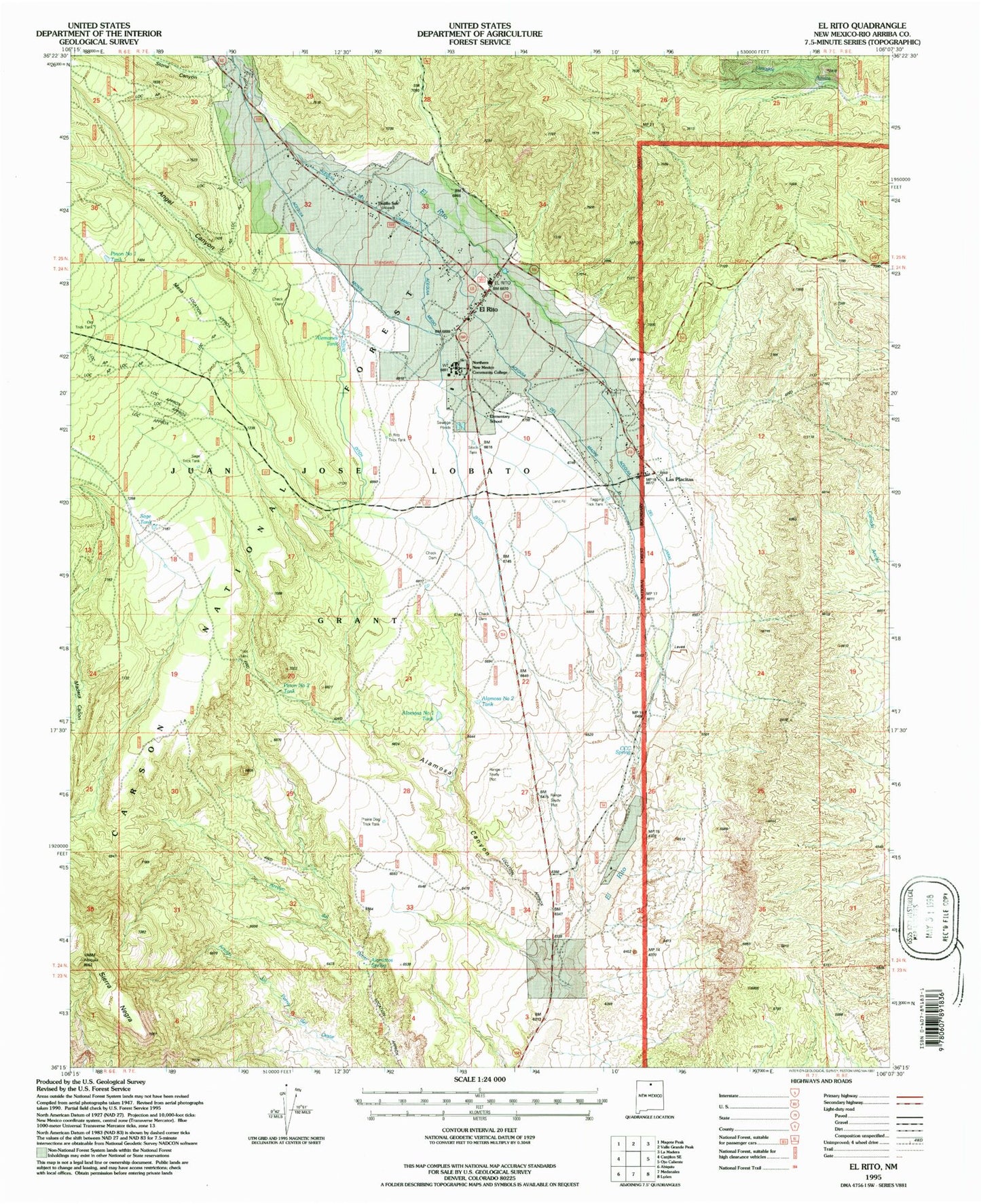
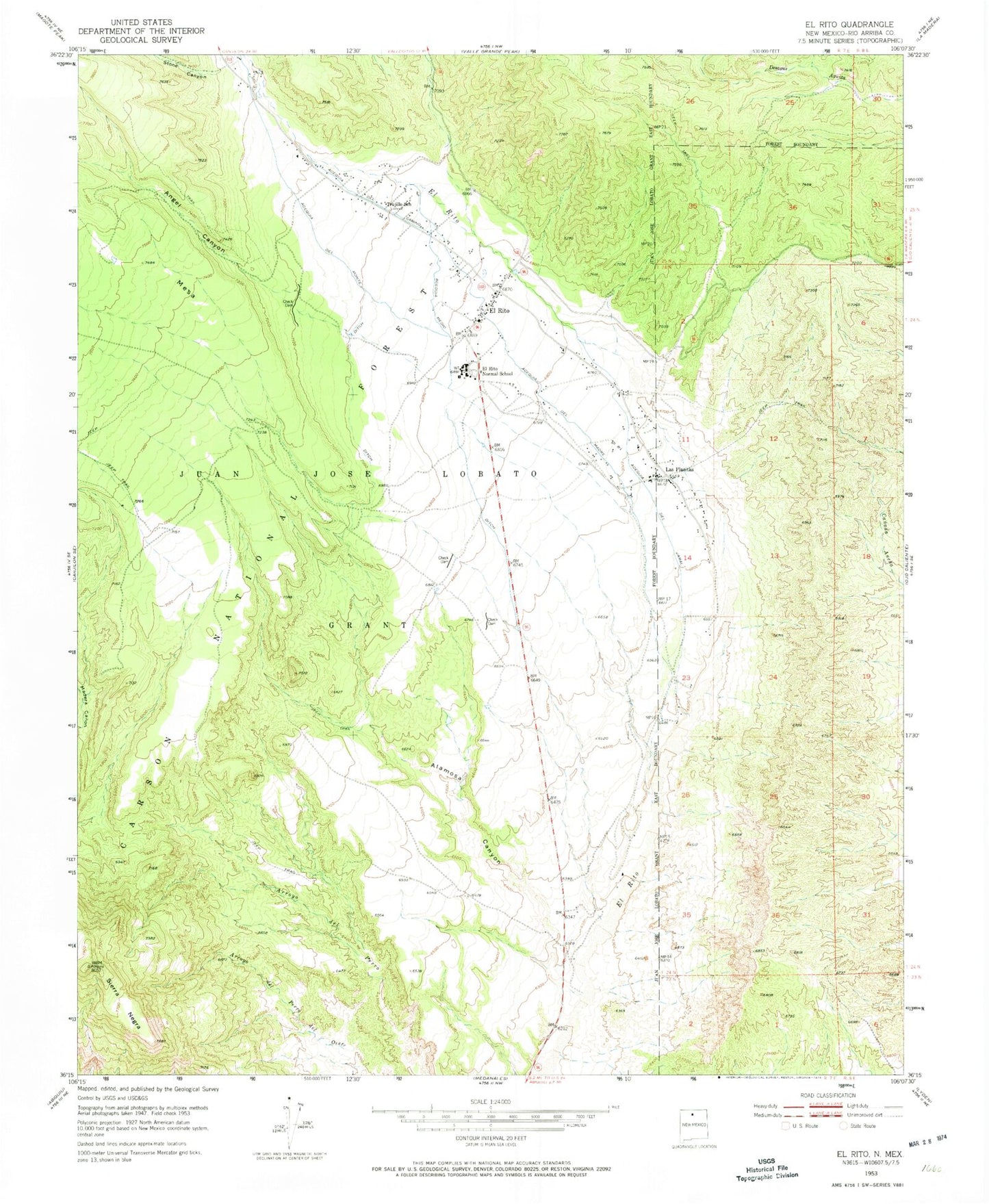
Historical USGS topographic quad map of El Rito in the state of New Mexico. Map scale may vary for some years, but is generally around 1:24,000. Print size is approximately 24" x 27"
This quadrangle is in the following counties: Rio Arriba.
The map contains contour lines, roads, rivers, towns, and lakes. Printed on high-quality waterproof paper with UV fade-resistant inks, and shipped rolled.
Contains the following named places: Acequia del Camino, Acequia del Jaral, Acequia del Madre, Acequia del Monte, Acequia Medio, Alamittos Spring, Alamosa Canyon, Alamosa Number One Tank, Alamosa Number Two Tank, Alemanes Tank, Angel Canyon, Arroyo Seco, CCC Spring, Cementerio de San Juan Nepomuseno, Delgado Hall Historic Site, El Rito, El Rito Campus, El Rito Census Designated Place, El Rito Community Cemetery, El Rito Community United Methodist Church, El Rito District Ranger Office, El Rito Historical Marker, El Rito Normal School, El Rito Post Office, El Rito Public Library, El Rito Trick Tank, El Rito Volunteer Fire Department, El Rito Weather Station, La Clinica del Norte, Las Placitas, Las Placitas Census Designated Place, Northern New Mexico Community College, Old Trick Tank, Pinon Number One Tank, Pinon Number Two Tank, Prairie Dog Trick Tank, RG-11855 Water Well, RG-12986 Water Well, RG-15700 Water Well, RG-22770 Water Well, Sage Tank, Sage Trick Tank, Sierra Negra, Southwestern Mine, Stone Canyon, Tagging Trick Tank, Trujillo School, ZIP Code: 87530


