MyTopo
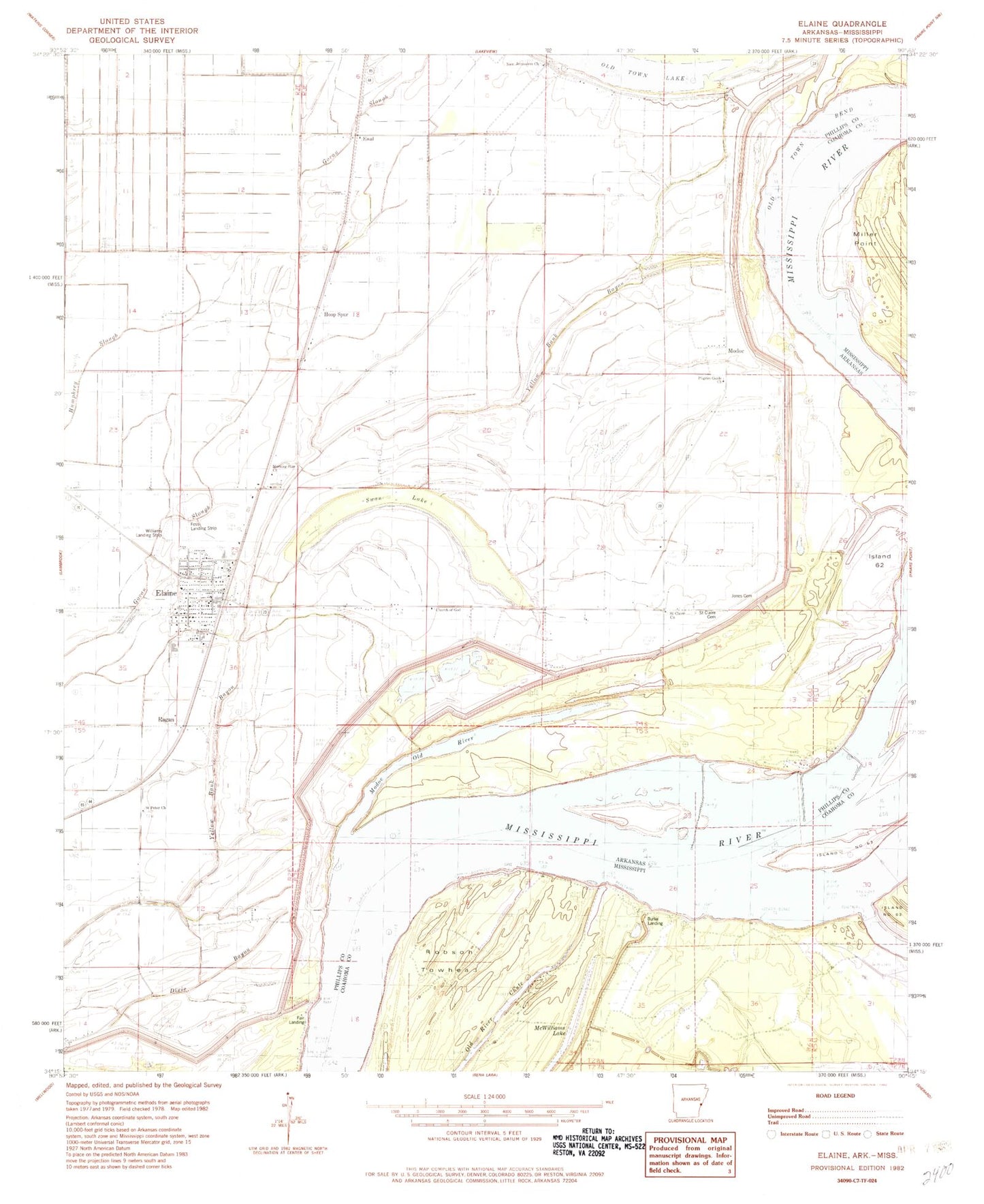
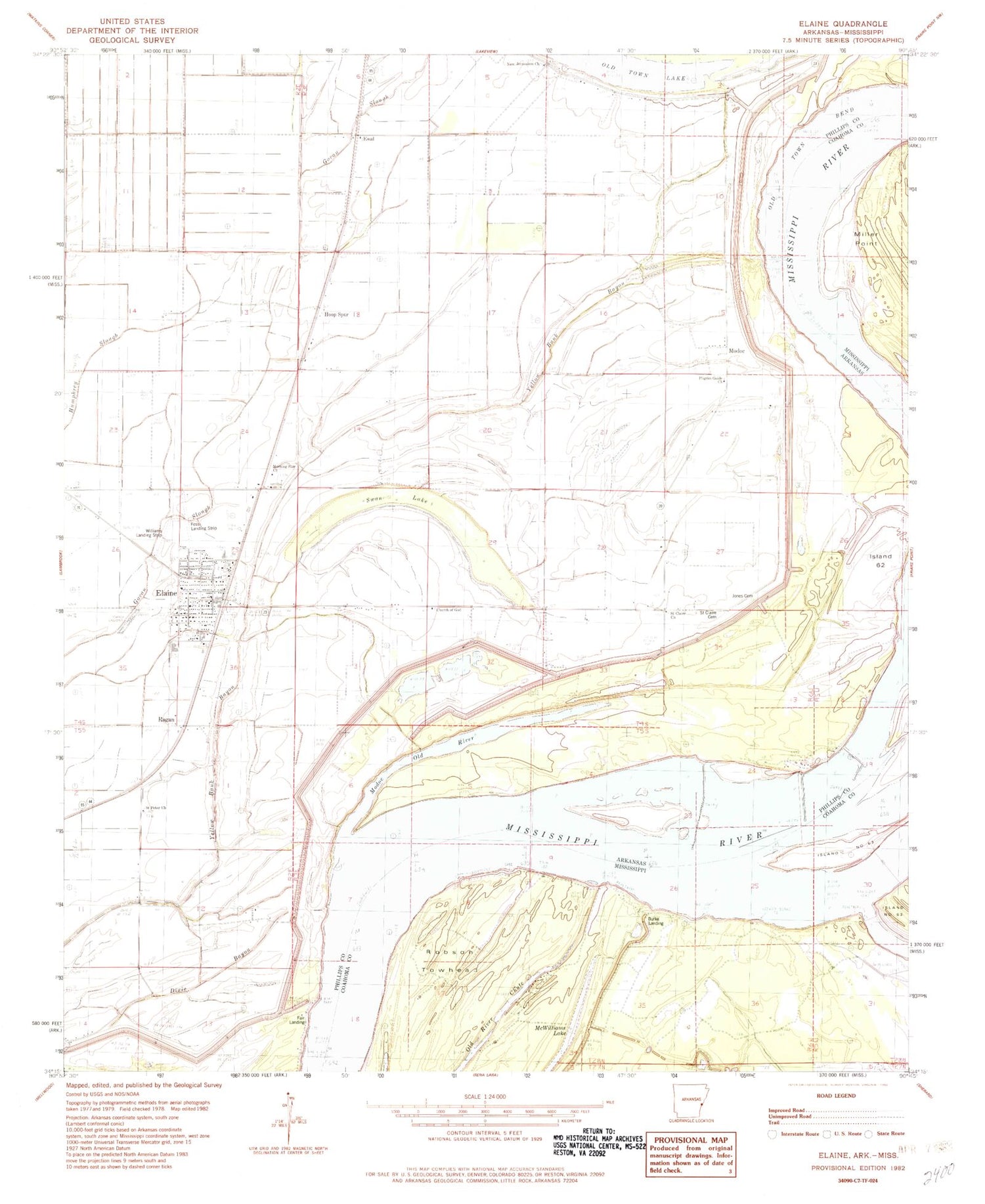
Classic USGS Elaine Arkansas 7.5'x7.5' Topo Map
Couldn't load pickup availability
Historical USGS topographic quad map of Elaine in the states of Arkansas, Mississippi. Map scale may vary for some years, but is generally around 1:24,000. Print size is approximately 24" x 27"
This quadrangle is in the following counties: Coahoma, Phillips.
The map contains contour lines, roads, rivers, towns, and lakes. Printed on high-quality waterproof paper with UV fade-resistant inks, and shipped rolled.
Contains the following named places: Burke Landing, Burke Landing Revetment, Church of God, City of Elaine, Dixie Bayou, Elaine, Elaine High School, Elaine Police Department, Elaine Post Office, Elaine Volunteer Fire Department, Ewal, Fair Landing, Fess Landing Strip, Hoop Spur, Island Number 62, Island Number 62 Revetment, Jones Cemetery, Lucilia Wood Elementary School, Lucilla Ward Elementary School, McWilliams Lake, Mittletons Landing, Modoc, Modoc Crevasse, Modoc Landing, Modoc Old River, Morning Star, Morning Star Church, Morning Star School, New Jerusalem Cemetery, New Jerusalem Church, Old Town Bend, Old Town Lake, Oldtown Bend Revetment, Pilgrim Guide Church, Ragan, Riddell Field, Robson Towhead, Saint Claire Cemetery, Saint Claire Church, Saint Peter Cemetery, Saint Peter Church, Swan Lake, Vanhook Church, Williams Landing Strip, ZIP Code: 72333


