
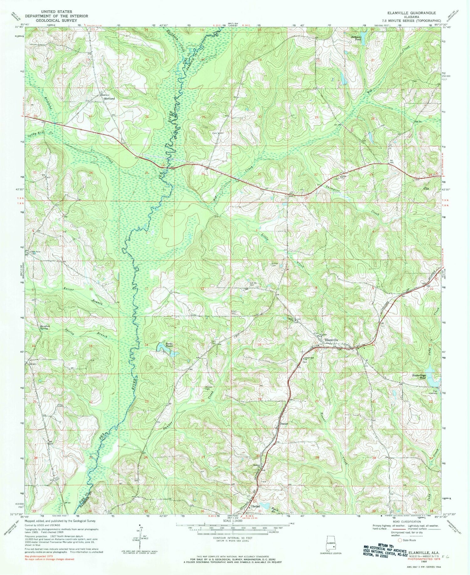
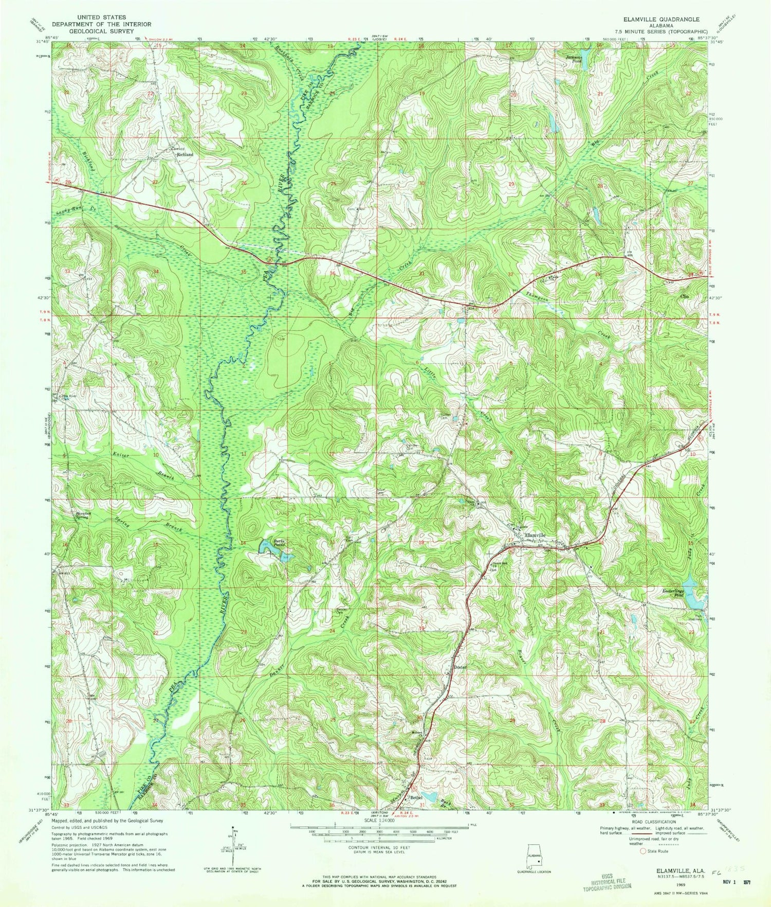
MyTopo
Classic USGS Elamville Alabama 7.5'x7.5' Topo Map
Couldn't load pickup availability
Historical USGS topographic quad map of Elamville in the state of Alabama. Map scale may vary for some years, but is generally around 1:24,000. Print size is approximately 24" x 27"
This quadrangle is in the following counties: Barbour, Pike.
The map contains contour lines, roads, rivers, towns, and lakes. Printed on high-quality waterproof paper with UV fade-resistant inks, and shipped rolled.
Contains the following named places: Adam Cemetery, Barefoot Spring, Bethel, Big Creek, Big Creek Church, Birch School, Buckhorn Creek, Burke Ponds, Carr Cemetery, Coal Springs, Danner Cemetery, Danner Creek, Dansby Cemetery, Days Mill, Doster, Easterling Mill Pond Dam, Easterling's Fish Hatchery, Easterlings Pond, Elam Church, Elamville, Elamville Church, Elamville Fire Department, Emmanuel Church, Faulk Church, Foulk Creek, Hickory Hill Church, Holmes Freewill Baptist Church, Jacksons Pond, Joiners Bridge, Kaiser Branch, Lewis Store, Little Creek, McSwains Bridge, Pea River Cemetery, Richland, Richland Baptist Church, Richland Cemetery, Richland Creek, Saint Louis Church, Sandy Run Creek, Spring Branch, Sutton Cemetery, Sutton Lake, Sutton Lake Dam, Sweet Oak Church, Thompson Creek, Triumph Church


