MyTopo
Classic USGS Elba Michigan 7.5'x7.5' Topo Map
Couldn't load pickup availability
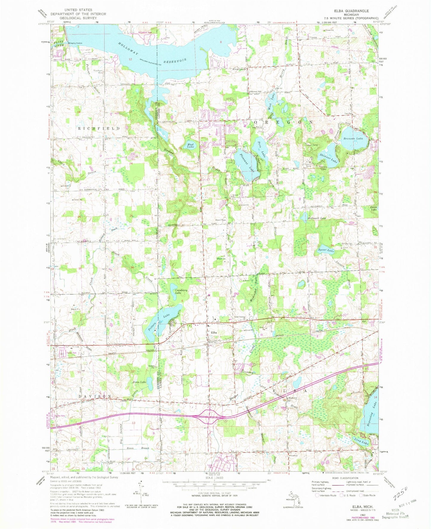
Historical USGS topographic quad map of Elba in the state of Michigan. Map scale may vary for some years, but is generally around 1:24,000. Print size is approximately 24" x 27"
This quadrangle is in the following counties: Genesee, Lapeer.
The map contains contour lines, roads, rivers, towns, and lakes. Printed on high-quality waterproof paper with UV fade-resistant inks, and shipped rolled.
Contains the following named places: AE Seaton Elementary School, Bentley Cemetery, Big Swamp Drain, Bird Cemetery, Bronson Lake, Carlsen Chapel, Chateau Old Orchard Mobile Home Park, Chateau Timber Heights Mobile Home Park, Community Baptist Church, Cranberry Lake, Davison East Mobile Estates, Dawn Memorial Cemetery, Detroit Camp, Elba, Elba Elementary School, Elba Library, Elba Post Office, Elba Station, Elba Township Fire Department Station 1, Elba Township Fire Department Station 2, Elba United Methodist Church, Faith Bible Baptist Church, Fellews Drain, Flint River Cemetery, Geesey Drain, German Cemetery, German School, Glad Tidings Church, Hammond and Misener Drain, Hasler Creek, Hathaway Drain, Holloway Dam, Holloway Dam Regional Park, Holloway Reservoir, Hubbard Drain, John's Airport, Jones Lake, Lamoreaux Cemetery, Lapeer Camp, Lassen Drain, Long Lake, McDowell Lake, Mott Camp, Mud Lake, Oregon United Methodist Church, Pero Lake, Pleasant Lake, Potters Lake, Saint Dunstan's Episcopal Church, Saint John Catholic Cemetery, Shaft School, Simon Branch, Skinner Lake, Spear Lake, Torzewski County Park, Township of Elba, Township of Oregon, Treadway and Powelson Drain, Washington Drain, West Lake, Wolverine Campground and Buttercup Beach


