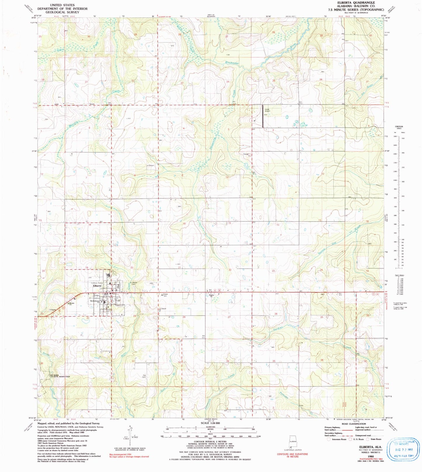
MyTopo
Classic USGS Elberta Alabama 7.5'x7.5' Topo Map
Couldn't load pickup availability
Historical USGS topographic quad map of Elberta in the state of Alabama. Map scale may vary for some years, but is generally around 1:24,000. Print size is approximately 24" x 27"
This quadrangle is in the following counties: Baldwin.
The map contains contour lines, roads, rivers, towns, and lakes. Printed on high-quality waterproof paper with UV fade-resistant inks, and shipped rolled.
Contains the following named places: Baldwin County Eastfork C and D Landfill, Baldwin County Heritage Museum, Bartholomew Church, Berean Baptist Church, Biophilia Nature Center, Country Crossroads Mobile Home Park, Daybreak United Methodist Church, Dogwood Park Mobile Home Village and Recreational Vehicle Park, Elberta, Elberta Church, Elberta Division, Elberta Junior High School, Elberta Police Department, Elberta Post Office, Elberta Volunteer Fire Department, Elberta Volunteer Fire Department Station 3, Fell Cemetery, First Baptist Church of Elberta, Horak Airport, Negro Creek, Orchards Mobile Home Park, Perdido Winds Airpark, Prince of Peace Cemetery, Saint Marks Cemetery, Saint Mark's Lutheran Church, Soldiers Creek Golf Club, Threemile Creek, ZIP Code: 36530