MyTopo
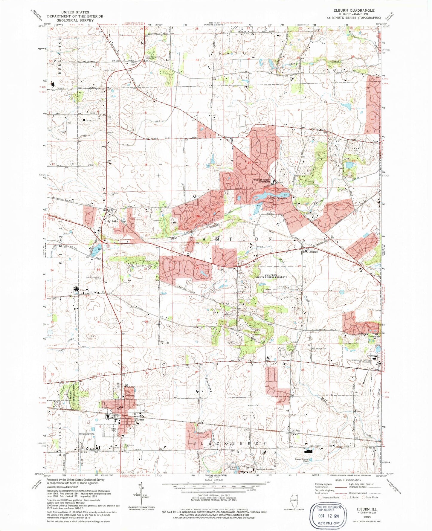
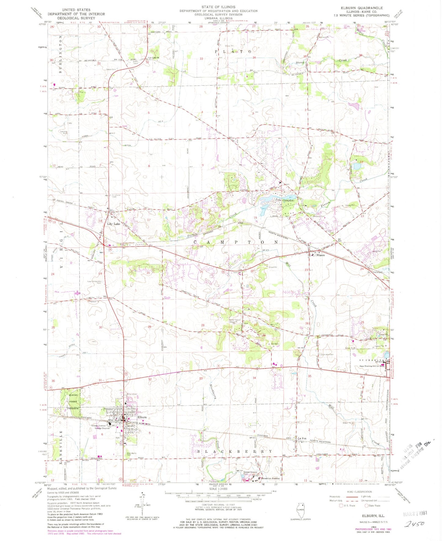
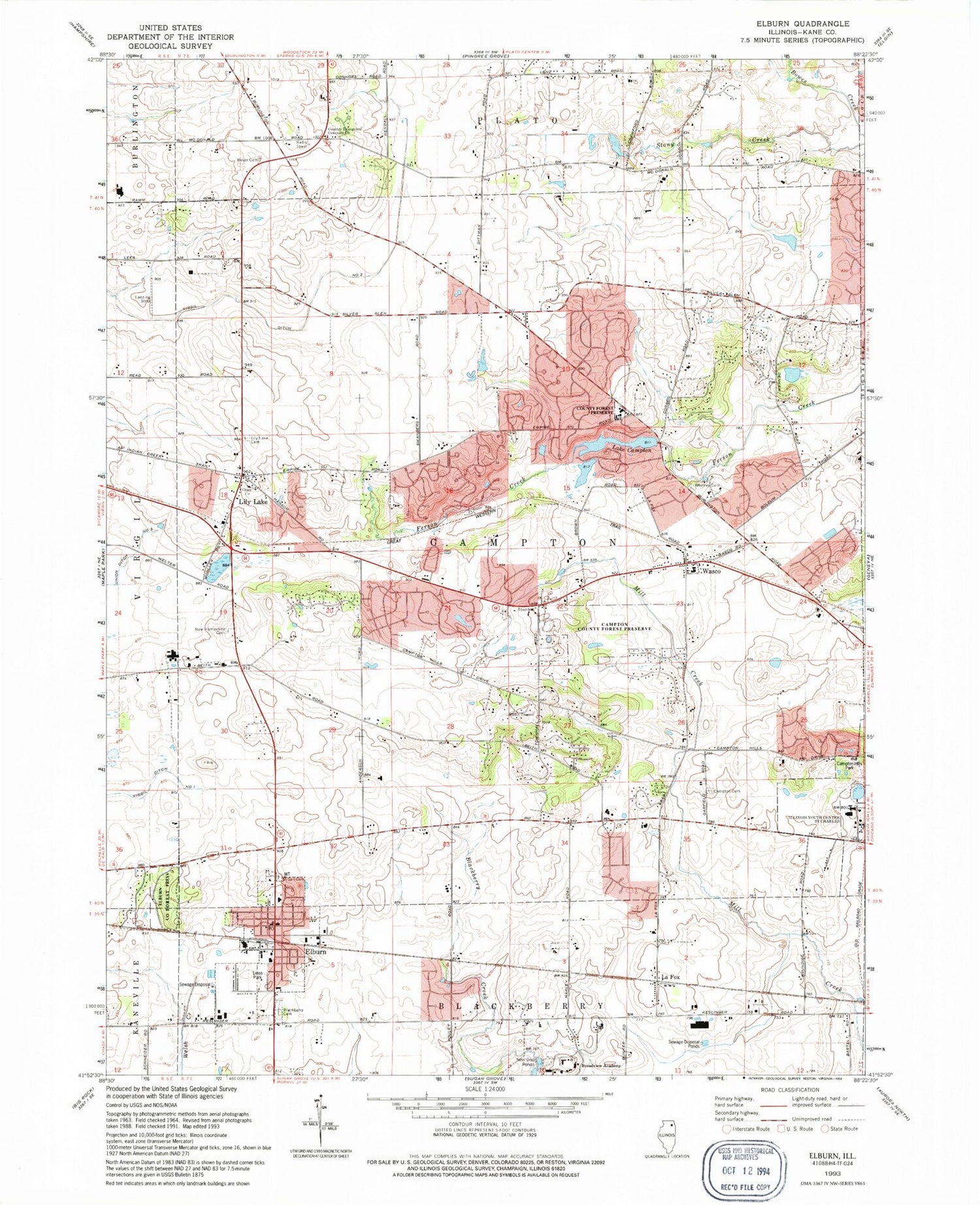
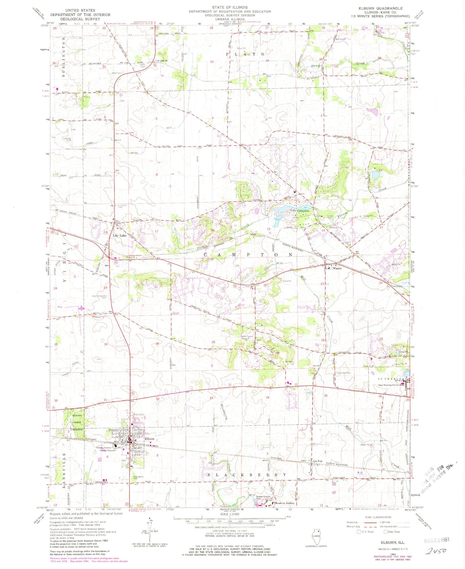
Classic USGS Elburn Illinois 7.5'x7.5' Topo Map
Couldn't load pickup availability
Historical USGS topographic quad map of Elburn in the state of Illinois. Map scale may vary for some years, but is generally around 1:24,000. Print size is approximately 24" x 27"
This quadrangle is in the following counties: Kane.
The map contains contour lines, roads, rivers, towns, and lakes. Printed on high-quality waterproof paper with UV fade-resistant inks, and shipped rolled.
Contains the following named places: Aeroview Airport, Appaloosa West, Blackberry Cemetery, Briar Gate, Broadview Academy, Brookside, Burning Tree, Campton Cemetery, Campton County Forest Preserve, Campton Hills, Campton Lake, Campton Lake Dam, Campton Pines, Campton Woods Run, Community Congregational Church, Congregational Church of Lily Lake, Country Evangelical Covenant Church, Deer Run, Dillonfield, Elburn, Elburn and Countryside Fire Protection District Station 1, Elburn County Forest Preserve, Elburn Police Department, Elburn Post Office, Empire Hills, Fair Oaks, Far View, Forest Hills, Foxfield, Garfield Farm, Grace Lutheran Church, Gray Willow School, Griggs School, Happy Hills, Hastings, Hedgerow, High Point, Homeward Hill, Horseshoe Lake, Illinois Youth Detention Center - Saint Charles, Indian Creek, Johnsons Mound Run, Kane County, Kings Mill, L. M. Baker Cemetery, La Fox, Lake Campton, Lily Lake, Lily Lake Cemetery, Lily Lake Church, Lily Lake Elementary School, Lily Lake Run, Mary Meadows, Native Prairie, New Hampshire Cemetery, Oak Openings, Plato Corners, Pouley Run, Pouley Run North, Route 38 Branch, Saint Gall Cemetery, Saint Gall's Church, Silver Glen Meadows, Silver Glen Run, Split Rail Farm, Spring Valley Lake, Spring Valley Lake Dam, Stewart School, Still Meadows, Sunset Villa, The Knolls, Township of Campton, Tucker Run, Turtle Rock Lake, Village of Campton Hills, Village of Elburn, Village of Lily Lake, Wasco, Wasco Baptist Church, Wasco Elementary School, Wasco Post Office, Weybridge, Whitney Cemetery, Wideview, ZIP Code: 60175


