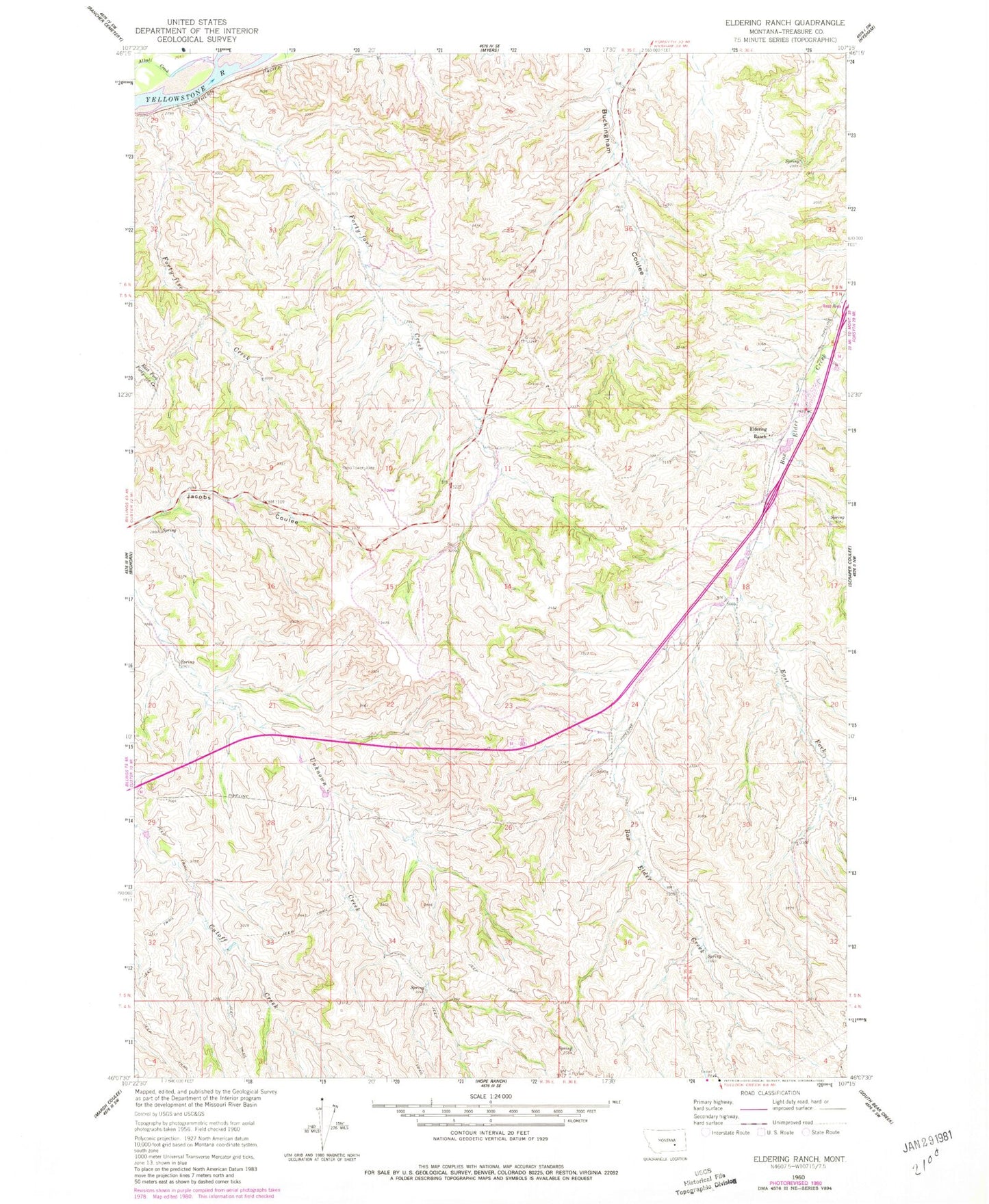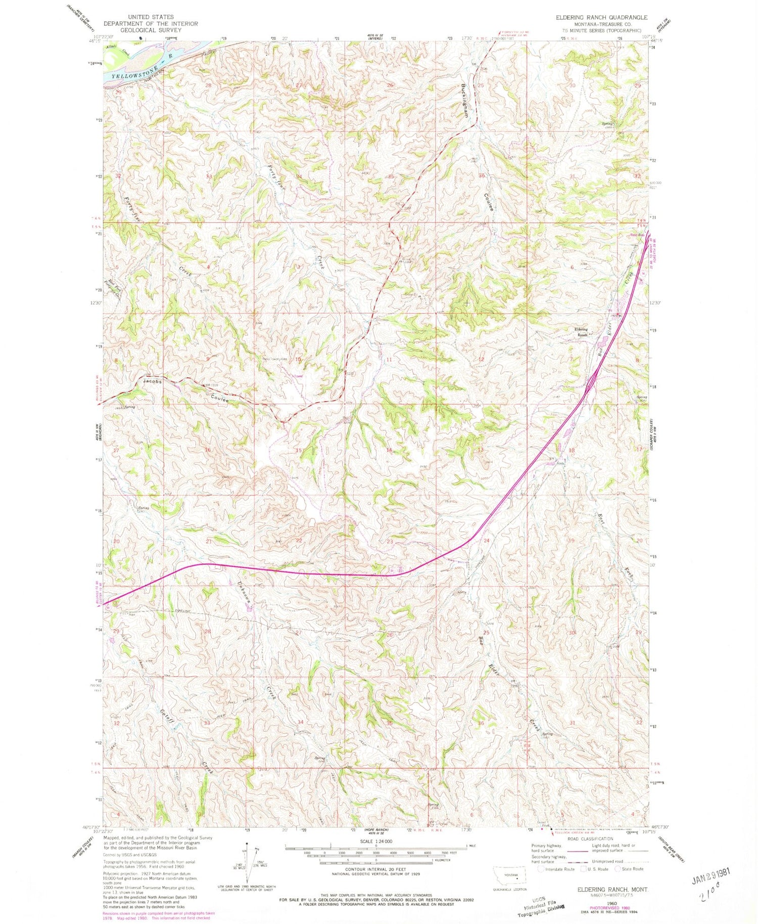
MyTopo
Classic USGS Eldering Ranch Montana 7.5'x7.5' Topo Map
Regular price
$16.95
Regular price
Sale price
$16.95
Unit price
per
Couldn't load pickup availability
Historical USGS topographic quad map of Eldering Ranch in the state of Montana. Map scale may vary for some years, but is generally around 1:24,000. Print size is approximately 24" x 27"
This quadrangle is in the following counties: Treasure.
The map contains contour lines, roads, rivers, towns, and lakes. Printed on high-quality waterproof paper with UV fade-resistant inks, and shipped rolled.
Contains the following named places: 05N35E04A___01 Well, 05N35E15AADA01 Well, 05N36E07ABDC01 Well, Alkali Creek, Almond School, East Fork Box Elder Creek, Eldering Ranch, Forty-five Creek, Forty-four Creek, Treasure County