MyTopo
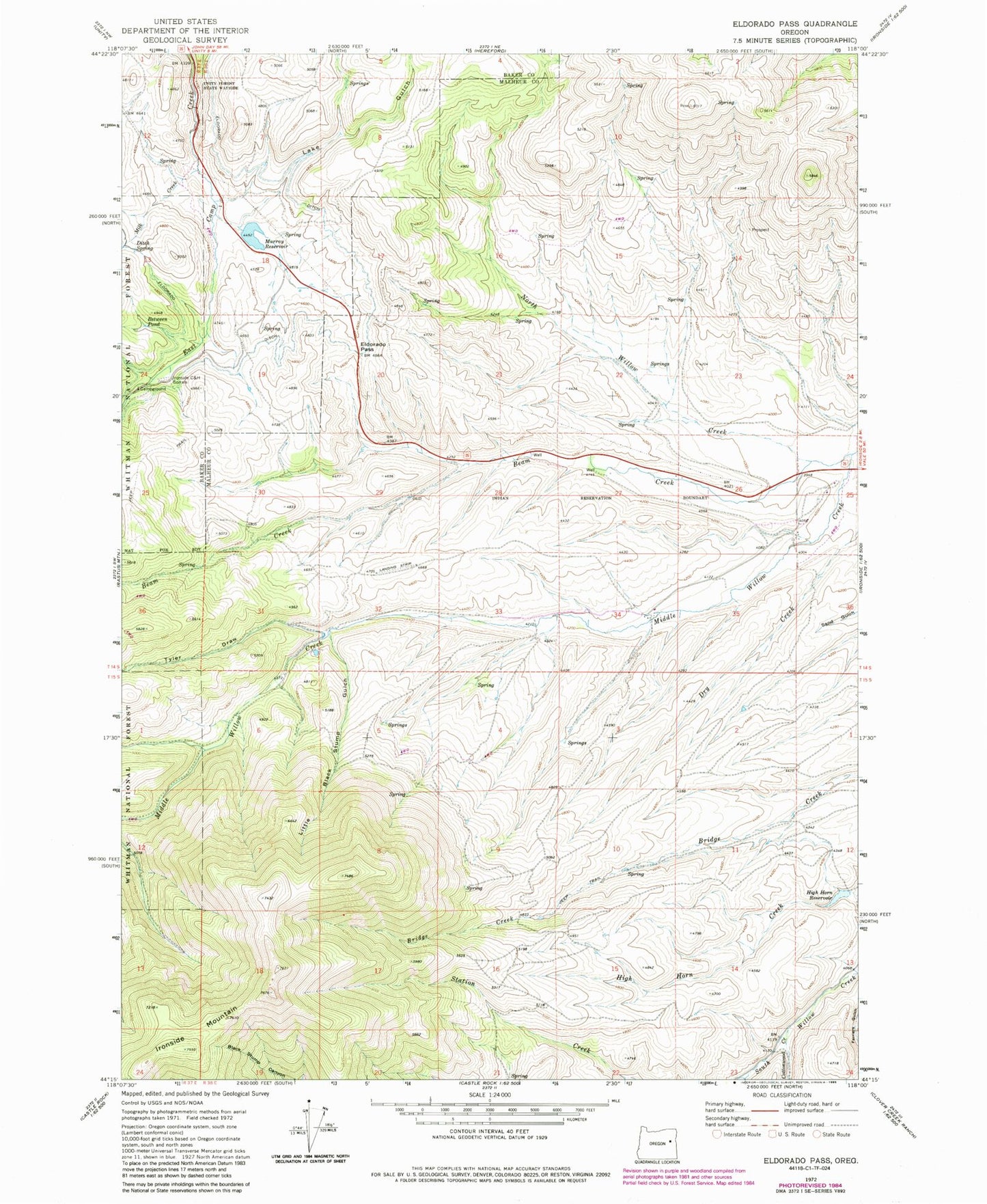
Classic USGS Eldorado Pass Oregon 7.5'x7.5' Topo Map
Couldn't load pickup availability
Historical USGS topographic quad map of Eldorado Pass in the state of Oregon. Map scale may vary for some years, but is generally around 1:24,000. Print size is approximately 24" x 27"
This quadrangle is in the following counties: Baker, Malheur.
The map contains contour lines, roads, rivers, towns, and lakes. Printed on high-quality waterproof paper with UV fade-resistant inks, and shipped rolled.
Contains the following named places: Beam Creek, Between Pond, Black Stump Gulch, Cottonwood Creek, Dickson Dam, Ditch Spring, Eldorado Pass, Eldorado Recreation Site, HB Murray, High Horn Reservoir, Ironside C and H Corrals, Lake Gulch, Little Black Stump Gulch, Milk Creek, Murray Dam, Murray Reservoir, Murray Reservoir Recreation Site, North Willow Creek, Tyler Draw, Unity Forest State Park