MyTopo
Classic USGS Electra Texas 7.5'x7.5' Topo Map
Couldn't load pickup availability
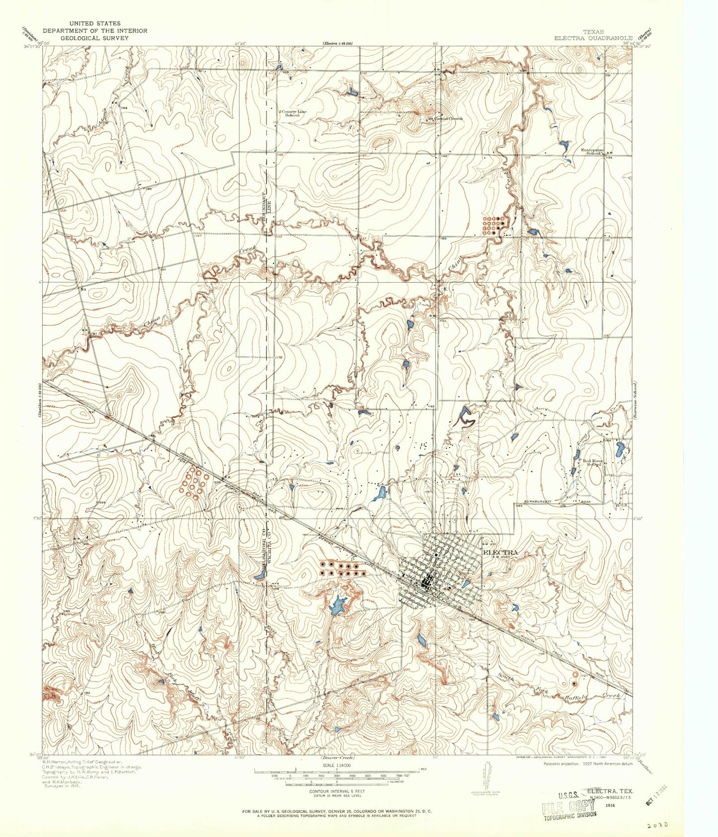
Historical USGS topographic quad map of Electra in the state of Texas. Map scale may vary for some years, but is generally around 1:24,000. Print size is approximately 24" x 27"
This quadrangle is in the following counties: Wichita, Wilbarger.
The map contains contour lines, roads, rivers, towns, and lakes. Printed on high-quality waterproof paper with UV fade-resistant inks, and shipped rolled.
Contains the following named places: Bethel Baptist Church, China Springs, Church of Christ, City of Electra, Dinsmore Elementary School, Dinsmore School, Eastside Church of Christ, Electra, Electra City Hall, Electra City Park, Electra Community Church, Electra Fire Department, Electra High School, Electra Junior High School, Electra Memorial Hospital, Electra Police Department, Electra Post Office, Grand Theater, Haynesville, Hillside Baptist Church, KWFS-FM (Wichita Falls), KWTA-FM (Electra), KYYI-FM (Burkburnett), Mount Carmel Cemetery, Old Electra City Dam, Old Electra City Lake, United Pentecostal Church, Waggoner Estate Lake Number 1, Waggoner Estate Lake Number 1 Dam, Waggoner Ranch Lake Number 7, Waggoner Ranch Lake Number 7 Dam, Ward School, Wichita County Constable's Office Precinct 4, ZIP Code: 76364