MyTopo
Classic USGS Elephant Butte New Mexico 7.5'x7.5' Topo Map
Couldn't load pickup availability
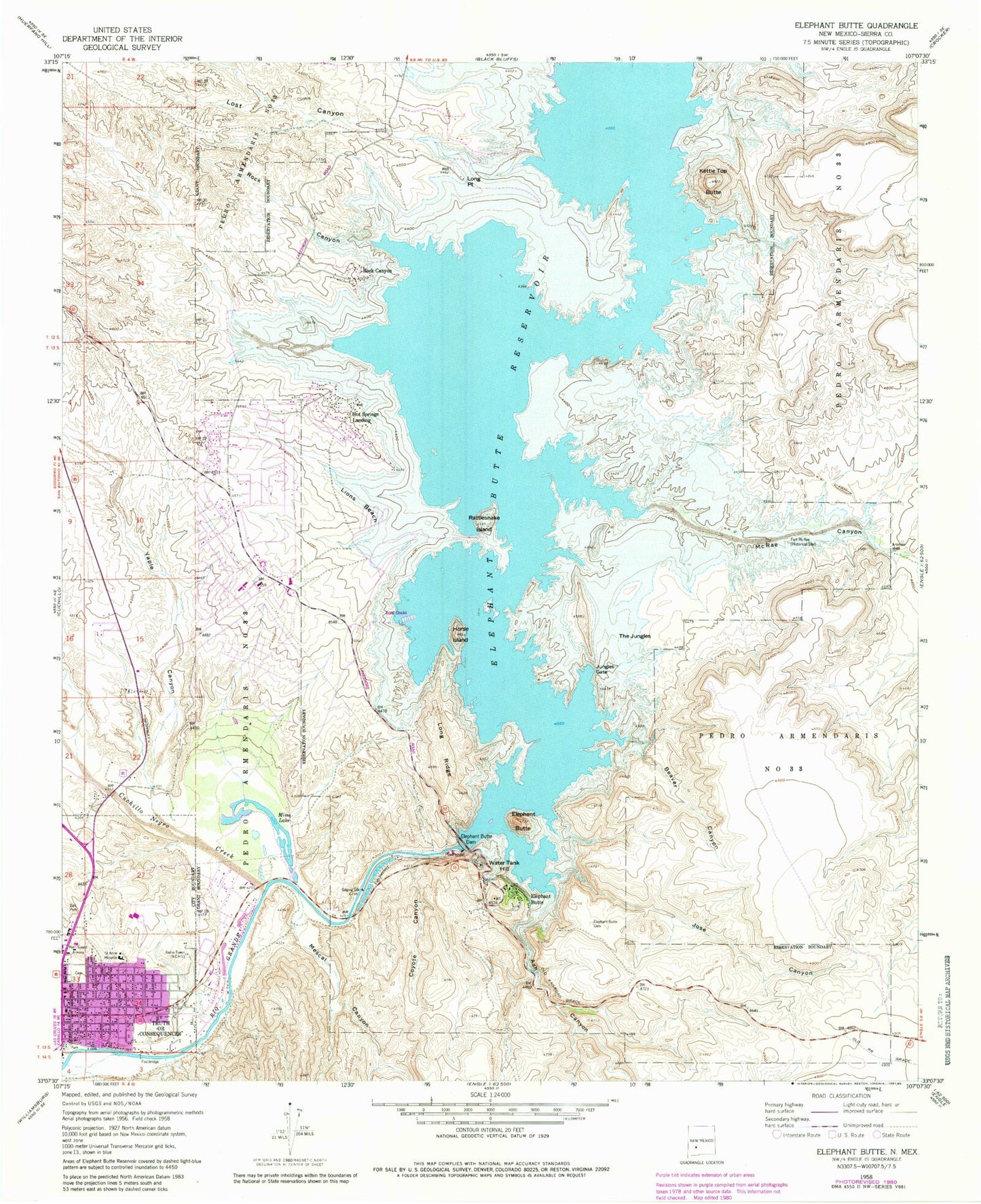
Historical USGS topographic quad map of Elephant Butte in the state of New Mexico. Map scale may vary for some years, but is generally around 1:24,000. Print size is approximately 24" x 27"
This quadrangle is in the following counties: Sierra.
The map contains contour lines, roads, rivers, towns, and lakes. Printed on high-quality waterproof paper with UV fade-resistant inks, and shipped rolled.
Contains the following named places: Ash Canyon, Beaver Canyon, Cedar Canyon, City of Elephant Butte, Coyote Canyon, Cuchillo Negro Creek, Diamond A Ranch Mine, Elephant Butte, Elephant Butte Cemetery, Elephant Butte Dike, Elephant Butte Estates, Elephant Butte Fire Department, Elephant Butte Post Office, Elephant Butte Reservoir, Elephant Butte Weather Station, Ellis Deposit, Fort McRae, Horse Island, Horse Island Historic Site, Hot Springs Landing, Hot Springs Landing Census Designated Place, Jose Canyon, Jungles Gate, KCHS-AM (Truth or Consequence), Kettle Top Butte, Kettle Top Butte Site, Lakeshore Fire Department, Lions Beach, Long Point, Long Ridge, Lost Canyon, McRae Canyon, Mescal Canyon, Mims Lake, Rattlesnake Island, RG 12459 Water Well, RG 13677 Water Well, RG 13781 Water Well, RG 15438 Water Well, RG 16111 Water Well, RG 16131 Water Well, RG 16455 Water Well, RG 1842 Water Well, RG 23251 Water Well, RG 23383 Water Well, RG 23516 Water Well, RG 23960 Water Well, RG 28960 Water Well, RG 30596 Water Well, RG 3927 Water Well, RG 4097 Water Well, RG 4272 Water Well, RG 4273 Water Well, RG 4822 Water Well, RG 7777 Water Well, RG 8789 Water Well, Rock Canyon, Saint Anne Hospital, Sampson Mine, Sierra County, Sierra County Sheriff's Office, Sierra Vista Hospital, Sierra Vista Hospital Heliport, The Jungles, Truth or Consequences Post Office, Truth Or Consequences Volunteer Fire Department Station 1, Water Tank Hill, Yaple Canyon


