MyTopo
Classic USGS Elephant Butte Utah 7.5'x7.5' Topo Map
Couldn't load pickup availability
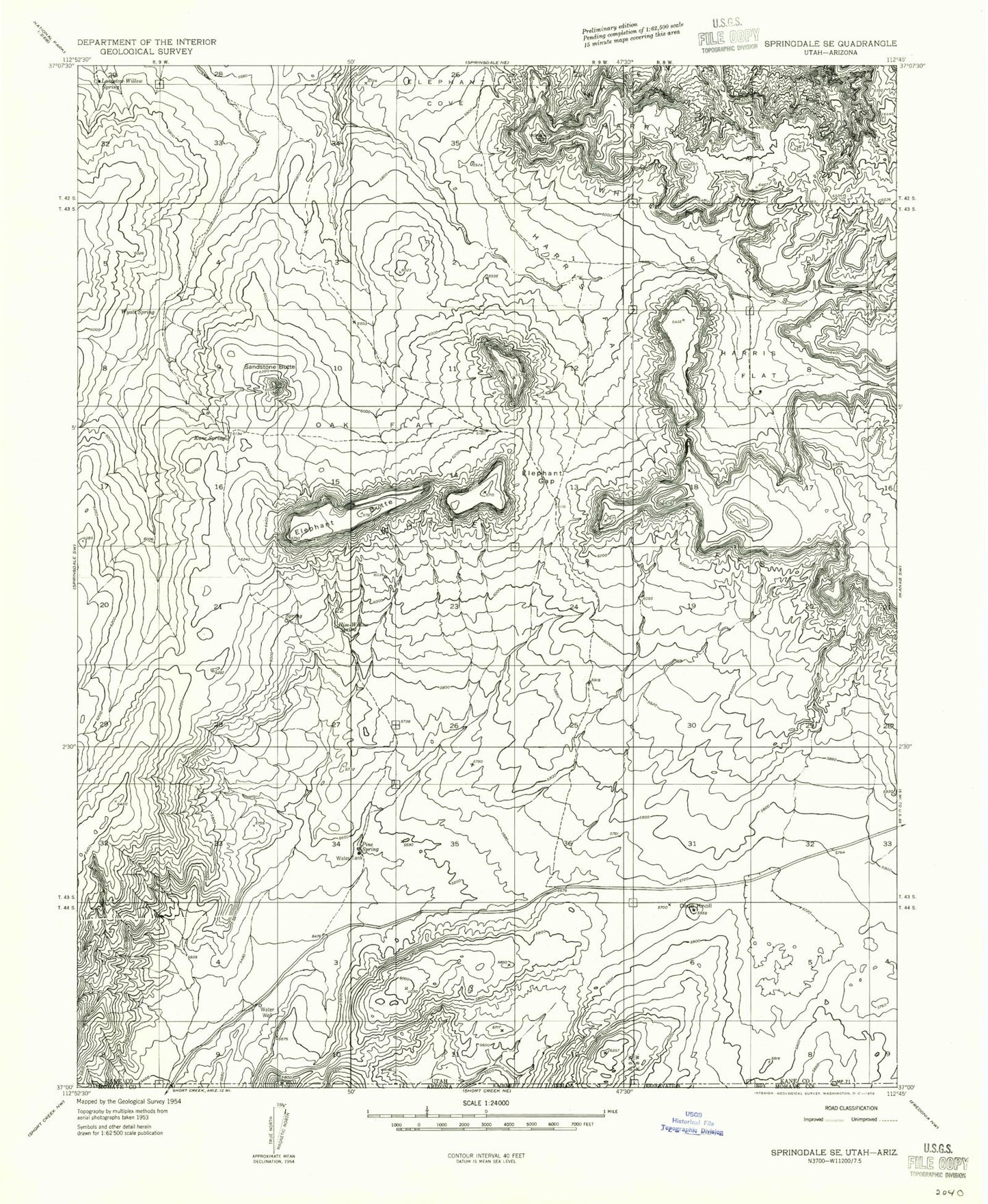
Historical USGS topographic quad map of Elephant Butte in the state of Utah. Map scale may vary for some years, but is generally around 1:24,000. Print size is approximately 24" x 27"
This quadrangle is in the following counties: Kane, Mohave.
The map contains contour lines, roads, rivers, towns, and lakes. Printed on high-quality waterproof paper with UV fade-resistant inks, and shipped rolled.
Contains the following named places: Block Mesas, Dixie Knoll, Elephant Butte, Elephant Gap, Esplin Spring, Harris Flat, Harris Mountain, Harris Point, Hise-Willow Spring, Kane Spring, Langston Willow Spring, Moccasin Mountains, Oak Flat, Pine Spring, Rosy Canyon, Sandstone Butte, Shunesburg Mail Trail, Wyatt Spring