MyTopo
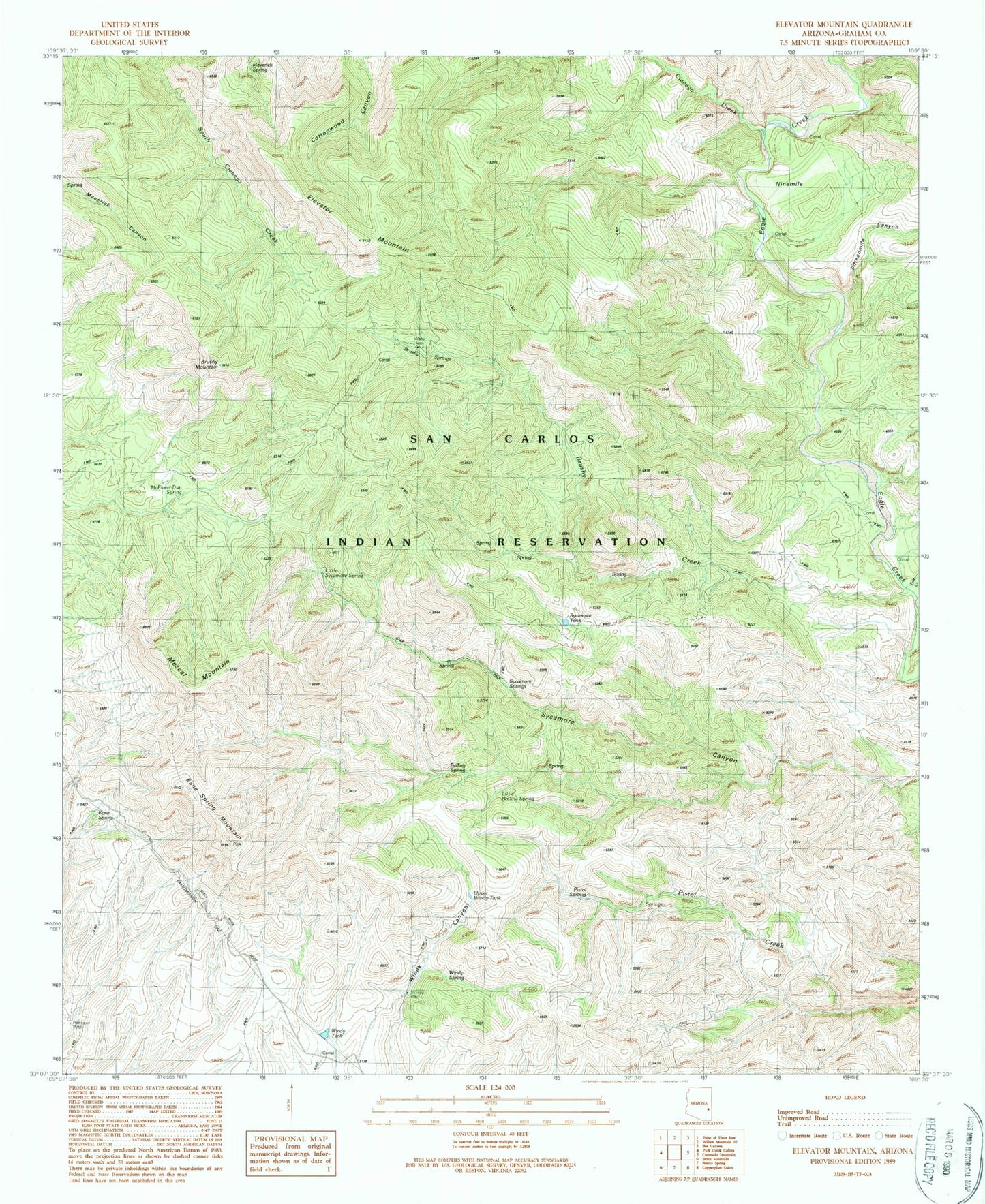
Classic USGS Elevator Mountain Arizona 7.5'x7.5' Topo Map
Couldn't load pickup availability
Historical USGS topographic quad map of Elevator Mountain in the state of Arizona. Map scale may vary for some years, but is generally around 1:24,000. Print size is approximately 24" x 27"
This quadrangle is in the following counties: Graham.
The map contains contour lines, roads, rivers, towns, and lakes. Printed on high-quality waterproof paper with UV fade-resistant inks, and shipped rolled.
Contains the following named places: Boiling Spring, Brushy Creek, Brushy Mountain, Brushy Springs, Cienega Creek, Elevator Mountain, Fifteenmile Canyon, Fifteenmile Corral, Holding Pasture, Kane Spring, Kane Spring Mountain, Little Boiling Spring, Little Sycamore Spring, Maverick Spring, McEwen Trap Spring, Mescal Mountain, Ninemile, Sycamore Springs, Sycamore Tank, Tule Creek, Upper Windy Tank, Windy Spring, Windy Tank, Windy Well