MyTopo
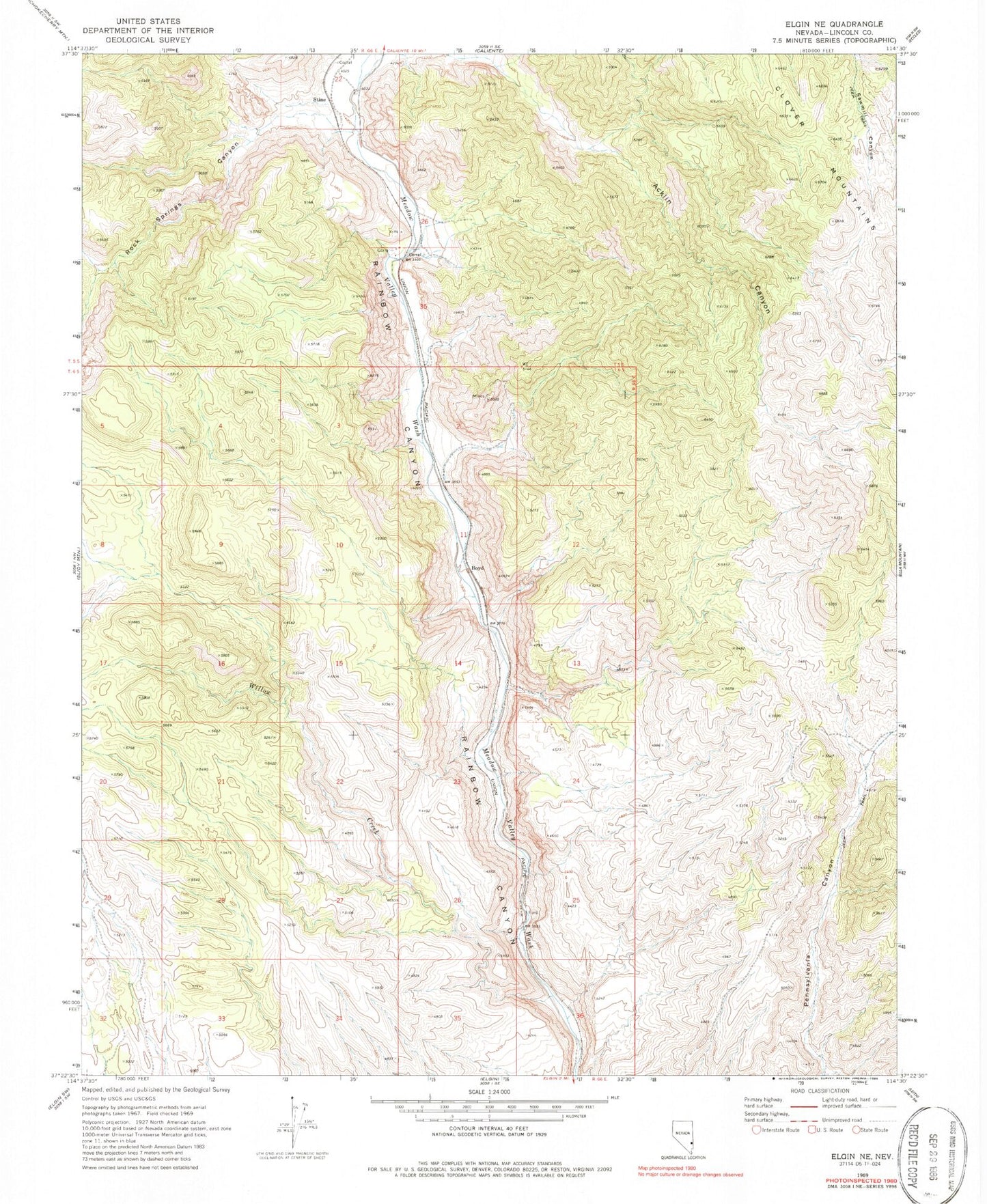
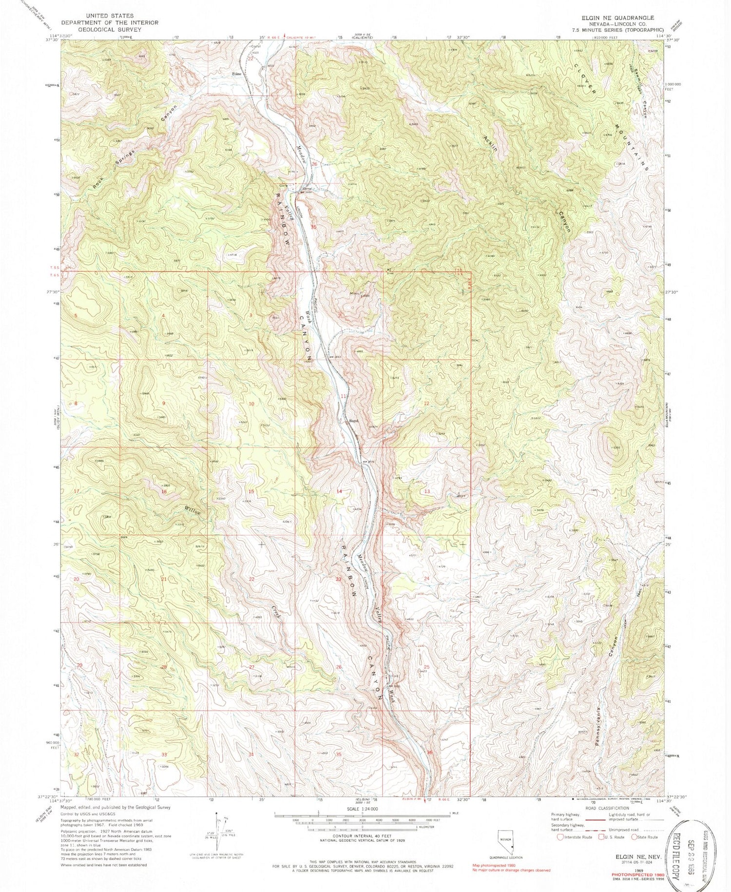
Classic USGS Elgin NE Nevada 7.5'x7.5' Topo Map
Couldn't load pickup availability
Historical USGS topographic quad map of Elgin NE in the state of Nevada. Map scale may vary for some years, but is generally around 1:24,000. Print size is approximately 24" x 27"
This quadrangle is in the following counties: Lincoln.
The map contains contour lines, roads, rivers, towns, and lakes. Printed on high-quality waterproof paper with UV fade-resistant inks, and shipped rolled.
Contains the following named places: Ash Flat, Boyd, Boyd Alunite Mine, Boyd Clay Mine, Cottonwood Springs, Elliott Ranch, Fall Spring, Flying Machine Spring, Hummingbird Spring, Kaolin Canyon, Kaolin Mine, Kaolin Spur, Robbers Roost Ranch, Rock Spring, Rock Springs Canyon, Stine, Whiskey Spring, Whiskey Spring Canyon, Willow Canyon, Willow Creek