MyTopo
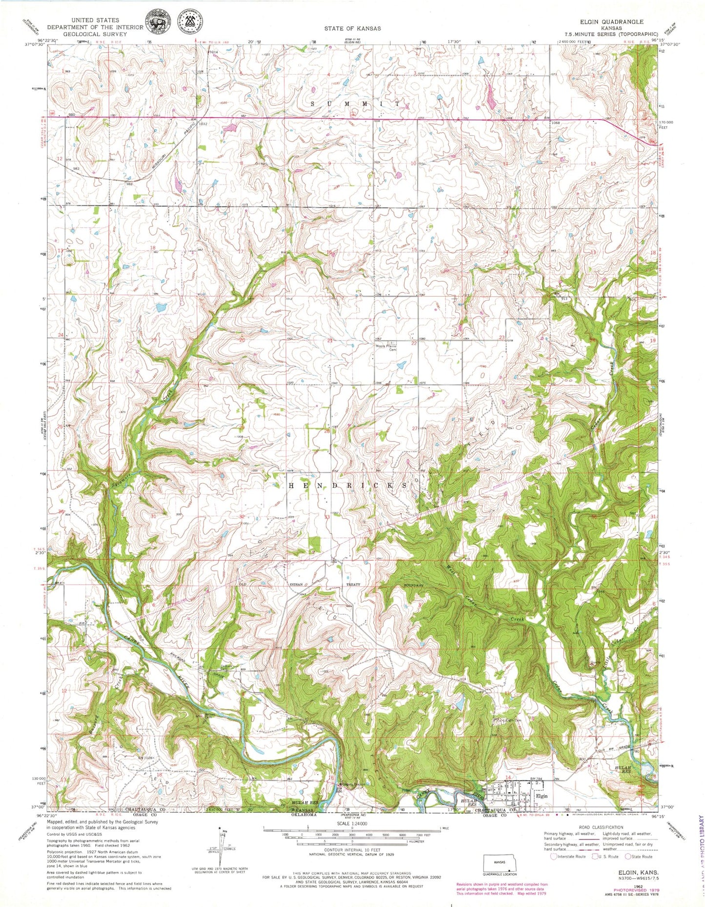
Classic USGS Elgin Kansas 7.5'x7.5' Topo Map
Couldn't load pickup availability
Historical USGS topographic quad map of Elgin in the state of Kansas. Map scale may vary for some years, but is generally around 1:24,000. Print size is approximately 24" x 27"
This quadrangle is in the following counties: Chautauqua.
The map contains contour lines, roads, rivers, towns, and lakes. Printed on high-quality waterproof paper with UV fade-resistant inks, and shipped rolled.
Contains the following named places: Buzzard Creek, Chautauqua County Rural Fire District 5 Elgin Station, City of Elgin, De Bask Cemetery, Elgin, Elgin Cemetery, Elgin Community Center, Elgin United Methodist Church, Grant Creek, Hudson, Hulah Wildlife Area, Little Cedar Creek, Magee Cemetery, Moore Prairie Cemetery, New Elgin, Sycamore Creek, Township of Hendricks, West Cedar Creek, Wilson Cemetery